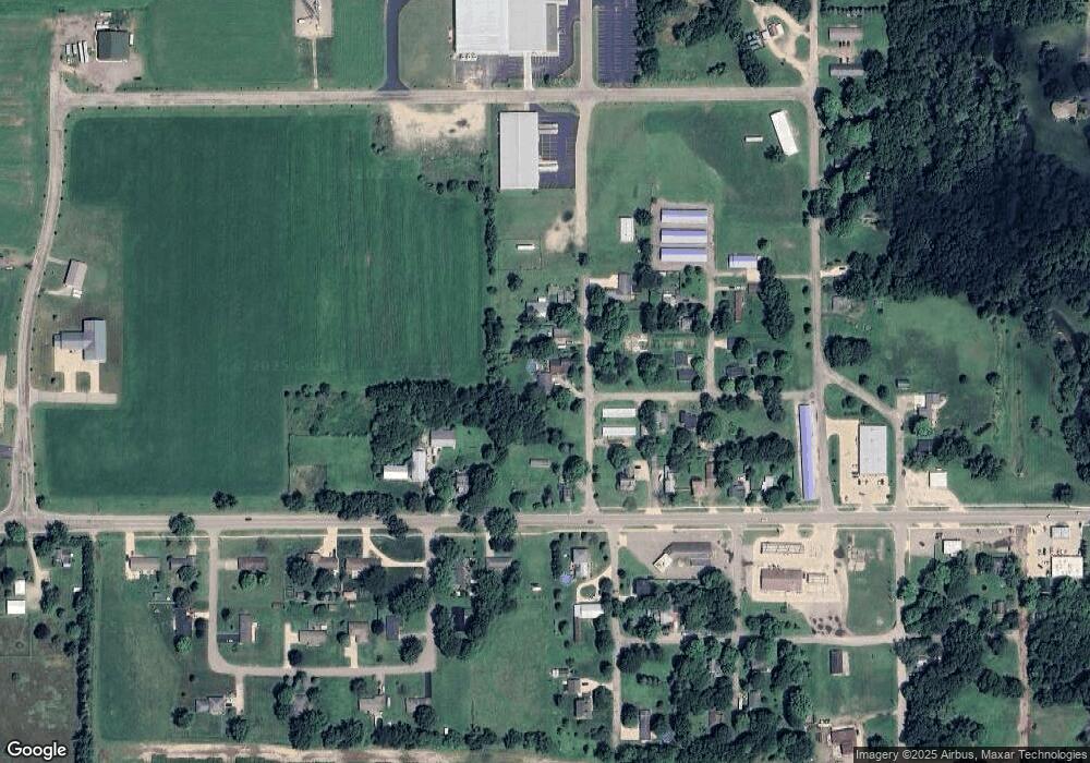
205 N Locust St Mendon, MI 49072
Estimated Value: $163,000 - $271,000
3
Beds
1
Bath
1,267
Sq Ft
$158/Sq Ft
Est. Value
About This Home
This home is located at 205 N Locust St, Mendon, MI 49072 and is currently estimated at $200,530, approximately $158 per square foot. 205 N Locust St is a home located in St. Joseph County with nearby schools including Mendon Elementary School and Mendon Middle/High School.
Ownership History
Date
Name
Owned For
Owner Type
Purchase Details
Closed on
Jul 11, 2018
Sold by
Thomas Ian Gilbert
Bought by
Standish Scott P and Standish Robin D
Current Estimated Value
Purchase Details
Closed on
Jan 26, 2012
Sold by
Stevens Virgil D and Stevens Patricia A
Bought by
Standish Robin D and Standish Scott P
Purchase Details
Closed on
Nov 22, 2003
Sold by
Stevens Virgil D and Stevens Patricia A
Bought by
Standish Robin Denise and Scott P-Ctr
Purchase Details
Closed on
Jun 19, 1996
Sold by
Jones
Bought by
Stevens
Purchase Details
Closed on
Apr 9, 1996
Create a Home Valuation Report for This Property
The Home Valuation Report is an in-depth analysis detailing your home's value as well as a comparison with similar homes in the area
Purchase History
| Date | Buyer | Sale Price | Title Company |
|---|---|---|---|
| Standish Scott P | $1,524 | None Available | |
| Standish Robin D | -- | Stewart Title Guaranty Co | |
| Standish Robin Denise | -- | -- | |
| Stevens | $32,500 | -- | |
| -- | -- | -- |
Source: Public Records
Tax History Compared to Growth
Tax History
| Year | Tax Paid | Tax Assessment Tax Assessment Total Assessment is a certain percentage of the fair market value that is determined by local assessors to be the total taxable value of land and additions on the property. | Land | Improvement |
|---|---|---|---|---|
| 2025 | $626 | $74,500 | $8,700 | $65,800 |
| 2024 | $695 | $66,600 | $5,400 | $61,200 |
| 2023 | $356 | $56,100 | $4,000 | $52,100 |
| 2022 | $0 | $50,500 | $4,000 | $46,500 |
| 2021 | $665 | $48,100 | $4,200 | $43,900 |
| 2020 | $450 | $42,800 | $4,100 | $38,700 |
| 2019 | $444 | $42,100 | $4,100 | $38,000 |
| 2018 | $1,062 | $39,300 | $1,900 | $37,400 |
| 2017 | $1,035 | $36,900 | $36,900 | $0 |
| 2016 | -- | $36,000 | $36,000 | $0 |
| 2015 | -- | $29,900 | $0 | $0 |
| 2014 | -- | $26,100 | $26,100 | $0 |
| 2012 | -- | $24,300 | $24,300 | $0 |
Source: Public Records
Map
Nearby Homes
- 206 Burr Oak St
- 218 W Jackson St
- 25642 Simpson Rd
- 106 W State St
- 235 N Nottawa St
- 25660 Simpson Rd
- Lot 04 S Shore Dr
- 23521 River Run Rd
- 54516 Silver St
- 23317 Michigan Ave
- 30315 Jacksonburg Rd
- 52199 Nancy Ln
- 22533 Davis Dr
- 55637 Bennett Rd
- 26088 Wasepi Rd
- 53644 N Fisher Lake Rd
- 55572 N Fisher Lake Rd
- 30879 Michigan 60
- 8016 E Xy Ave
- 19664 Lakeshore Dr
