2055 Mustang Ct Saint Cloud, FL 34771
East Saint Cloud NeighborhoodEstimated Value: $680,000 - $742,139
3
Beds
3
Baths
2,593
Sq Ft
$277/Sq Ft
Est. Value
About This Home
This home is located at 2055 Mustang Ct, Saint Cloud, FL 34771 and is currently estimated at $717,535, approximately $276 per square foot. 2055 Mustang Ct is a home located in Osceola County with nearby schools including Harmony Community School, Golden Gate High School, and Harmony Middle School.
Ownership History
Date
Name
Owned For
Owner Type
Purchase Details
Closed on
Aug 17, 2001
Sold by
Mccarl C Camden and Mccarl Kathleen E
Bought by
Thompson Robert and Thompson Brenda
Current Estimated Value
Home Financials for this Owner
Home Financials are based on the most recent Mortgage that was taken out on this home.
Original Mortgage
$23,026
Outstanding Balance
$9,002
Interest Rate
7.18%
Mortgage Type
Purchase Money Mortgage
Estimated Equity
$708,533
Create a Home Valuation Report for This Property
The Home Valuation Report is an in-depth analysis detailing your home's value as well as a comparison with similar homes in the area
Home Values in the Area
Average Home Value in this Area
Purchase History
| Date | Buyer | Sale Price | Title Company |
|---|---|---|---|
| Thompson Robert | $25,000 | -- |
Source: Public Records
Mortgage History
| Date | Status | Borrower | Loan Amount |
|---|---|---|---|
| Open | Thompson Robert | $23,026 |
Source: Public Records
Tax History Compared to Growth
Tax History
| Year | Tax Paid | Tax Assessment Tax Assessment Total Assessment is a certain percentage of the fair market value that is determined by local assessors to be the total taxable value of land and additions on the property. | Land | Improvement |
|---|---|---|---|---|
| 2024 | $4,271 | $310,542 | -- | -- |
| 2023 | $4,271 | $301,498 | $0 | $0 |
| 2022 | $4,106 | $292,717 | $0 | $0 |
| 2021 | $4,080 | $284,192 | $0 | $0 |
| 2020 | $3,060 | $213,828 | $0 | $0 |
| 2019 | $3,015 | $209,021 | $0 | $0 |
| 2018 | $2,912 | $205,124 | $0 | $0 |
| 2017 | $2,909 | $200,905 | $0 | $0 |
| 2016 | $2,869 | $196,773 | $0 | $0 |
| 2015 | $2,907 | $195,406 | $0 | $0 |
| 2014 | $2,863 | $193,856 | $0 | $0 |
Source: Public Records
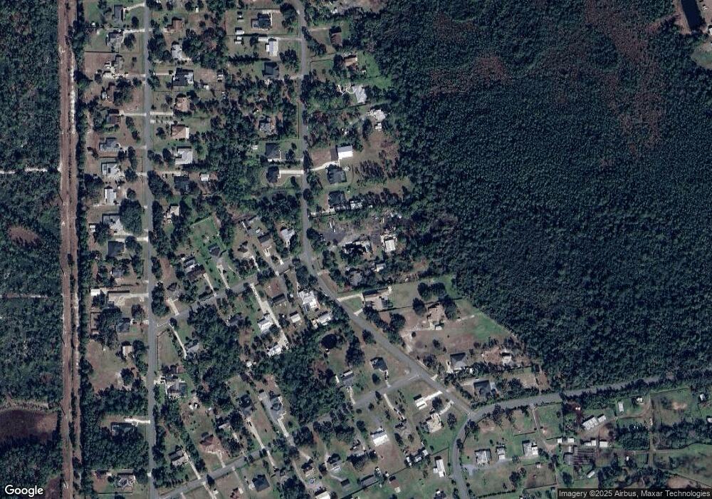
Map
Nearby Homes
- 0 Running Horse Trail Unit MFRO6351690
- 2225 Bronco Dr
- 2260 Bronco Dr
- 2086 Blackfoot Trail
- 7060 Buckhorn Trail
- 1955 Blackfoot Trail
- 0 Bronco Dr Unit MFRO6345299
- 0 Bronco Dr Unit MFRS5131763
- 0 Bronco Unit 1057429
- 2224 Eldorado Ct
- 2280 Fox Wood Ct
- 2049 Eldorado Ct
- 6756 Midland Dr
- 6790 Bass Hwy
- 0 Bridle Path
- 1838 Midland Dr
- 7065 Branch Ct
- 1730 Cassidy Dr
- 7190 6 Gun Ct
- 7190 Six Gun Ct
- 0 Sawgrass Dr Unit S4804613
- 0 Sawgrass Dr Unit S4813950
- 0 Sawgrass Dr Unit S4686442
- 2075 Mustang Ct
- 2035 Mustang Ct
- 6970 Sawgrass Dr
- 6975 Sawgrass Dr
- 2025 Mustang Ct
- 6960 Sawgrass Dr
- 6965 Sawgrass Dr
- 2085 Mustang Ct
- 6955 Sawgrass Dr
- 6995 Greenhorn Path
- 6950 Sawgrass Dr
- 7025 Greenhorn Path
- 2020 Mustang Ct
- 2045 Mustang Ct
- 2000 Mustang Ct
- 1995 Mustang Ct
- 6945 Sawgrass Dr