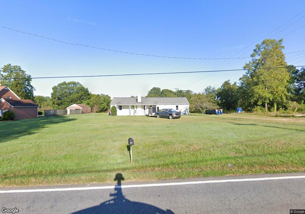
2057 Old Conover Startown Rd Newton, NC 28658
Estimated Value: $266,539 - $336,000
3
Beds
3
Baths
1,750
Sq Ft
$169/Sq Ft
Est. Value
About This Home
This home is located at 2057 Old Conover Startown Rd, Newton, NC 28658 and is currently estimated at $295,385, approximately $168 per square foot. 2057 Old Conover Startown Rd is a home located in Catawba County with nearby schools including Startown Elementary School, Maiden Middle School, and Maiden High School.
Ownership History
Date
Name
Owned For
Owner Type
Purchase Details
Closed on
Sep 29, 2021
Sold by
Crowder Ann J
Bought by
Bollinger Riley Hunt and Bollinger Megan Theresia
Current Estimated Value
Home Financials for this Owner
Home Financials are based on the most recent Mortgage that was taken out on this home.
Original Mortgage
$208,550
Outstanding Balance
$190,178
Interest Rate
2.8%
Mortgage Type
New Conventional
Estimated Equity
$105,207
Purchase Details
Closed on
May 13, 2003
Bought by
Morrison Joseph Jackson and Morrison Iren
Create a Home Valuation Report for This Property
The Home Valuation Report is an in-depth analysis detailing your home's value as well as a comparison with similar homes in the area
Home Values in the Area
Average Home Value in this Area
Purchase History
| Date | Buyer | Sale Price | Title Company |
|---|---|---|---|
| Bollinger Riley Hunt | $100,000 | Amos Jared T | |
| Bollinger Riley Hunt | $100,000 | None Listed On Document | |
| Morrison Joseph Jackson | $50,000 | -- |
Source: Public Records
Mortgage History
| Date | Status | Borrower | Loan Amount |
|---|---|---|---|
| Open | Bollinger Riley Hunt | $208,550 | |
| Closed | Bollinger Riley Hunt | $208,550 |
Source: Public Records
Tax History Compared to Growth
Tax History
| Year | Tax Paid | Tax Assessment Tax Assessment Total Assessment is a certain percentage of the fair market value that is determined by local assessors to be the total taxable value of land and additions on the property. | Land | Improvement |
|---|---|---|---|---|
| 2025 | $1,322 | $246,700 | $12,900 | $233,800 |
| 2024 | $1,322 | $155,800 | $12,900 | $142,900 |
| 2023 | $1,322 | $100,500 | $12,900 | $87,600 |
| 2022 | $1,121 | $100,500 | $12,900 | $87,600 |
| 2021 | $1,121 | $100,500 | $12,900 | $87,600 |
| 2020 | $1,121 | $100,500 | $12,900 | $87,600 |
| 2019 | $1,121 | $100,500 | $0 | $0 |
| 2018 | $1,082 | $97,000 | $13,200 | $83,800 |
| 2017 | $1,082 | $0 | $0 | $0 |
| 2016 | $282 | $0 | $0 | $0 |
| 2015 | $1,126 | $97,040 | $13,200 | $83,840 |
| 2014 | $1,126 | $111,500 | $13,200 | $98,300 |
Source: Public Records
Map
Nearby Homes
- 0 Old Conover-Startown Rd
- 10 Maple Ct
- 0 St Pauls Church Rd Unit CAR4299390
- 530 Dazzle Loop
- Hanover Plan at The Falls at Newton
- Cali Plan at The Falls at Newton
- Robie Plan at The Falls at Newton
- Winston Plan at The Falls at Newton
- Freeport Plan at The Falls at Newton
- Belhaven Plan at The Falls at Newton
- Macon Plan at The Falls at Newton
- Penwell Plan at The Falls at Newton
- Hayden Plan at The Falls at Newton
- Aria Plan at The Falls at Newton
- Darwin Plan at The Falls at Newton
- Wilmington Plan at The Falls at Newton
- 1780 Falls Cove Rd
- 470 Janie Loop
- 522 Dazzle Loop
- 1115 Sandhurst Dr Unit 9
- 2029 Old Conover Startown Rd
- 2048 Old Conover Startown Rd
- 1578 Parkway Dr
- 2093 Old Conover Startown Rd
- 1566 Parkway Dr
- 1571 Parkway Dr
- 1683 Shady Grove Ct
- 2094 Old Conover Startown Rd
- 1774 Saint Pauls Church Rd
- 1554 Parkway Dr
- 1721 Saint Pauls Church Rd
- 1563 Parkway Dr
- 1553 Parkway Dr
- 1641 Shady Grove Ct
- 1682 Shady Grove Ct
- 1674 Shady Grove Ct
- 1633 Shady Grove Ct
- 1662 Shady Grove Ct
- 1662 Shady Grove Ct Unit 7
- 1755 Saint Pauls Church Rd