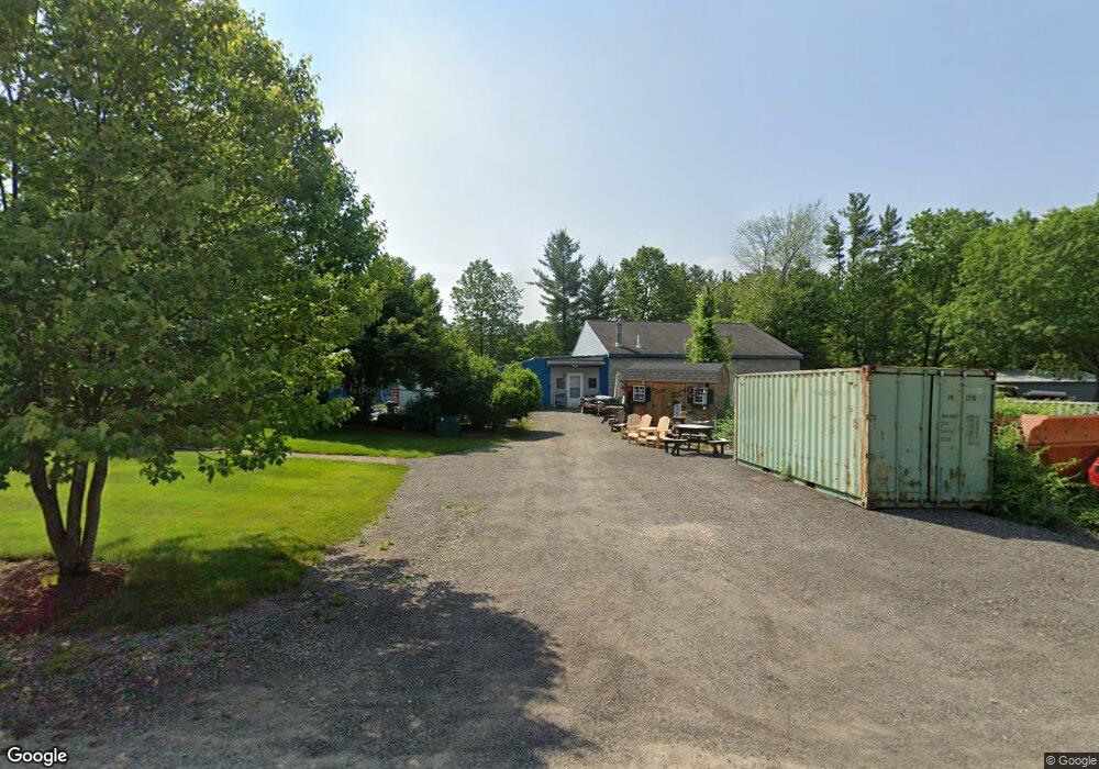
206 Frost Rd Tyngsboro, MA 01879
Estimated Value: $649,000 - $945,000
4
Beds
3
Baths
2,870
Sq Ft
$276/Sq Ft
Est. Value
About This Home
This home is located at 206 Frost Rd, Tyngsboro, MA 01879 and is currently estimated at $793,472, approximately $276 per square foot. 206 Frost Rd is a home located in Middlesex County with nearby schools including Tyngsborough Elementary School, Tyngsborough Middle School, and Tyngsborough High School.
Ownership History
Date
Name
Owned For
Owner Type
Purchase Details
Closed on
Feb 21, 2025
Sold by
Porter Nancy S
Bought by
John & Nancy Porter Ret and Porter
Current Estimated Value
Purchase Details
Closed on
Jul 30, 2024
Sold by
Porter Nancy S
Bought by
John & Nancy Porter Ret and Porter
Create a Home Valuation Report for This Property
The Home Valuation Report is an in-depth analysis detailing your home's value as well as a comparison with similar homes in the area
Home Values in the Area
Average Home Value in this Area
Purchase History
| Date | Buyer | Sale Price | Title Company |
|---|---|---|---|
| John & Nancy Porter Ret | -- | None Available | |
| John & Nancy Porter Ret | -- | None Available | |
| John & Nancy Porter Ret | -- | None Available | |
| John & Nancy Porter Ret | -- | None Available |
Source: Public Records
Tax History Compared to Growth
Tax History
| Year | Tax Paid | Tax Assessment Tax Assessment Total Assessment is a certain percentage of the fair market value that is determined by local assessors to be the total taxable value of land and additions on the property. | Land | Improvement |
|---|---|---|---|---|
| 2025 | $8,325 | $674,600 | $209,700 | $464,900 |
| 2024 | $8,236 | $647,500 | $199,800 | $447,700 |
| 2023 | $7,991 | $565,100 | $166,500 | $398,600 |
| 2022 | $7,805 | $522,400 | $144,900 | $377,500 |
| 2021 | $5,724 | $487,700 | $131,200 | $356,500 |
| 2020 | $11,216 | $468,000 | $131,200 | $336,800 |
| 2019 | $7,480 | $441,800 | $125,300 | $316,500 |
| 2018 | $17,372 | $426,000 | $126,300 | $299,700 |
| 2017 | $7,020 | $409,100 | $126,300 | $282,800 |
| 2016 | $6,183 | $352,100 | $106,700 | $245,400 |
| 2015 | $5,972 | $352,100 | $106,700 | $245,400 |
Source: Public Records
Map
Nearby Homes
- 1 Wintergreen Dr
- 24 Fletcher Dr
- 15 Norris Rd
- 17 Norris Rd
- 8 Joan Ave
- 33 Phalanx St
- 51 Farwell Rd
- 30 Schaefer Cir
- 75 Frost Rd
- 56 Frost Rd
- 123 Musquash Rd
- 4 Paradise Ln
- 1 Louisburg Square Unit 4
- 9 Louisburg Square Unit 5
- 9 Louisburg Square Unit U12
- 22 Old Coach Rd
- 85 Bluestone Dr
- 73 Bluestone Dr
- 46 Pawtucket Blvd Unit 38
- 46 Pawtucket Blvd Unit 37
- 208 Frost Rd
- 97 River Rd
- 97R River Rd
- 198 Frost Rd
- 194 Frost Rd
- 95 River Rd
- 1 Winslow Farm Rd
- 7 Madeline Terrace
- 195 Frost Rd
- 9 Madeline Terrace
- 5 Madeline Terrace
- 2 Winslow Farm Rd
- 1 Walker Rd
- 3 Walker Rd
- 189 Frost Rd
- 11 Madeline Terrace
- 3 Madeline Terrace
- 8 Madeline Terrace
- 6 Madeline Terrace
- 184 Frost Rd