2063 13th Ave W Shakopee, MN 55379
Estimated Value: $247,000 - $258,000
2
Beds
2
Baths
1,650
Sq Ft
$154/Sq Ft
Est. Value
About This Home
This home is located at 2063 13th Ave W, Shakopee, MN 55379 and is currently estimated at $254,333, approximately $154 per square foot. 2063 13th Ave W is a home located in Scott County with nearby schools including Sweeney Elementary School, East Middle School, and Shakopee Senior High School.
Ownership History
Date
Name
Owned For
Owner Type
Purchase Details
Closed on
Aug 23, 2022
Sold by
Paulsen Johnathan R
Bought by
Pino Krystle Danielle
Current Estimated Value
Home Financials for this Owner
Home Financials are based on the most recent Mortgage that was taken out on this home.
Original Mortgage
$236,634
Outstanding Balance
$225,851
Interest Rate
5.3%
Mortgage Type
FHA
Estimated Equity
$28,482
Purchase Details
Closed on
Jul 18, 2018
Sold by
Fahning Rollin W and Fahning Linda K
Bought by
Paulsen Jonathan R
Home Financials for this Owner
Home Financials are based on the most recent Mortgage that was taken out on this home.
Original Mortgage
$166,920
Interest Rate
4.5%
Mortgage Type
Stand Alone First
Purchase Details
Closed on
May 15, 1996
Sold by
Rissell Joel S
Bought by
Fahning Rollin W and Fahning Linda K
Create a Home Valuation Report for This Property
The Home Valuation Report is an in-depth analysis detailing your home's value as well as a comparison with similar homes in the area
Home Values in the Area
Average Home Value in this Area
Purchase History
| Date | Buyer | Sale Price | Title Company |
|---|---|---|---|
| Pino Krystle Danielle | $241,000 | -- | |
| Paulsen Jonathan R | $170,000 | Burnet Title | |
| Fahning Rollin W | $85,000 | -- |
Source: Public Records
Mortgage History
| Date | Status | Borrower | Loan Amount |
|---|---|---|---|
| Open | Pino Krystle Danielle | $236,634 | |
| Previous Owner | Paulsen Jonathan R | $166,920 | |
| Previous Owner | Paulsen Jonathan R | $166,920 | |
| Closed | Pino Krystle Danielle | $12,500 |
Source: Public Records
Tax History Compared to Growth
Tax History
| Year | Tax Paid | Tax Assessment Tax Assessment Total Assessment is a certain percentage of the fair market value that is determined by local assessors to be the total taxable value of land and additions on the property. | Land | Improvement |
|---|---|---|---|---|
| 2025 | $2,202 | $240,300 | $76,100 | $164,200 |
| 2024 | $2,078 | $229,400 | $72,400 | $157,000 |
| 2023 | $2,128 | $208,200 | $71,000 | $137,200 |
| 2022 | $1,996 | $209,900 | $72,700 | $137,200 |
| 2021 | $1,750 | $173,700 | $57,000 | $116,700 |
| 2020 | $1,804 | $169,900 | $52,500 | $117,400 |
| 2019 | $1,752 | $157,000 | $44,400 | $112,600 |
| 2018 | $1,634 | $0 | $0 | $0 |
| 2016 | $1,504 | $0 | $0 | $0 |
| 2014 | -- | $0 | $0 | $0 |
Source: Public Records
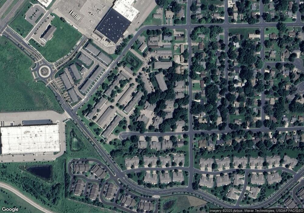
Map
Nearby Homes
- 2075 13th Ave W
- 1259 Taylor St Unit 3
- 1226 Polk St S
- 1279 Taylor St Unit 5
- 2224 Quarry Ln
- 2123 Agate Curve
- 1853 Stone Meadow Blvd
- 1538 12th Ave W
- 1187 Jackson St S
- 2007 10th Ave W Unit 12
- 1813 6th Ave W
- 1690 Windigo Ln
- 816 Regent Dr
- The Ferguson Plan at Bluff View - Cottage Series
- The Edison Plan at Bluff View - Cottage Series
- The Tatum Plan at Bluff View - Cottage Series
- The Pattison Plan at Bluff View - Cottage Series
- The Harmony Plan at Bluff View - Freedom Series
- The Dover II Plan at Bluff View - Freedom Series
- The Clifton II Plan at Bluff View - Freedom Series
- 2065 13th Ave W
- 2061 13th Ave W
- 2067 13th Ave W
- 2071 13th Ave W
- 1282 Polk St S
- 2069 13th Ave W
- 2069 2069 13th-Avenue-w
- 2057 13th Ave W
- 2073 13th Ave W
- 2053 13th Ave W
- 1280 Polk St S
- 1290 Polk St S
- 1269 Taylor St
- 1269 Taylor St
- 1269 Taylor St
- 1269 Taylor St
- 1269 Taylor St
- 1269 Taylor St
- 1269 Taylor St
- 1269 Taylor St