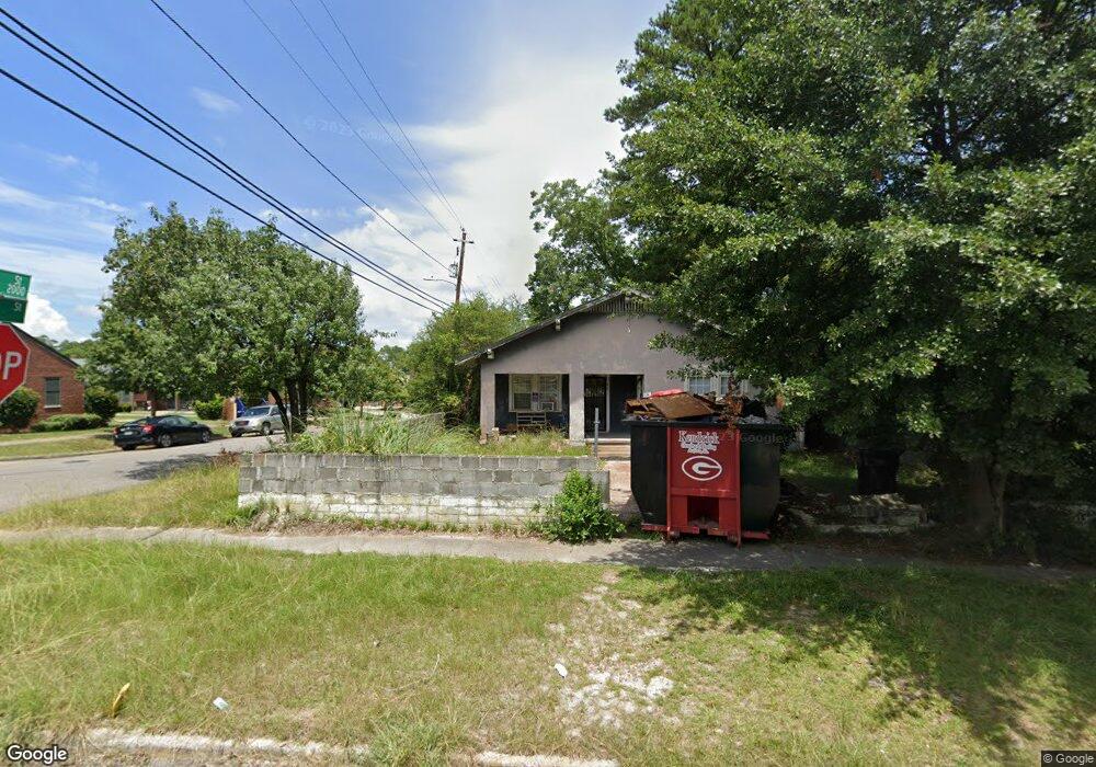
2065 Clark St Augusta, GA 30904
West End NeighborhoodEstimated Value: $108,000 - $149,000
4
Beds
2
Baths
1,648
Sq Ft
$78/Sq Ft
Est. Value
About This Home
This home is located at 2065 Clark St, Augusta, GA 30904 and is currently estimated at $128,980, approximately $78 per square foot. 2065 Clark St is a home located in Richmond County with nearby schools including Lamar Elementary School, W.S. Hornsby Elementary School, and Johnson Magnet.
Ownership History
Date
Name
Owned For
Owner Type
Purchase Details
Closed on
May 11, 2023
Sold by
Hensley Wilma Marie
Bought by
13 Tenants Volume Llc
Current Estimated Value
Purchase Details
Closed on
Aug 25, 1988
Sold by
Cooper John P
Bought by
Hensley Michael Hensley Marie
Purchase Details
Closed on
Aug 1, 1988
Sold by
Cooper John P
Bought by
Hensley Michael
Purchase Details
Closed on
Aug 1, 1987
Sold by
Watkins Wilson M
Bought by
Cooper John P
Purchase Details
Closed on
Jan 1, 1973
Create a Home Valuation Report for This Property
The Home Valuation Report is an in-depth analysis detailing your home's value as well as a comparison with similar homes in the area
Home Values in the Area
Average Home Value in this Area
Purchase History
| Date | Buyer | Sale Price | Title Company |
|---|---|---|---|
| 13 Tenants Volume Llc | $18,000 | -- | |
| Hensley Michael Hensley Marie | $39,900 | -- | |
| Hensley Michael | $39,900 | -- | |
| Cooper John P | $23,000 | -- | |
| -- | $12,300 | -- |
Source: Public Records
Tax History
| Year | Tax Paid | Tax Assessment Tax Assessment Total Assessment is a certain percentage of the fair market value that is determined by local assessors to be the total taxable value of land and additions on the property. | Land | Improvement |
|---|---|---|---|---|
| 2025 | $2,131 | $52,916 | $2,352 | $50,564 |
| 2024 | $2,131 | $7,200 | $880 | $6,320 |
| 2023 | $597 | $41,340 | $2,352 | $38,988 |
| 2022 | $563 | $29,515 | $2,352 | $27,163 |
| 2021 | $441 | $19,029 | $2,362 | $16,667 |
| 2020 | $466 | $20,667 | $4,000 | $16,667 |
| 2019 | $477 | $20,667 | $4,000 | $16,667 |
| 2018 | $479 | $20,667 | $4,000 | $16,667 |
| 2017 | $479 | $20,667 | $4,000 | $16,667 |
| 2016 | $479 | $20,667 | $4,000 | $16,667 |
| 2015 | $479 | $20,667 | $4,000 | $16,667 |
| 2014 | $479 | $20,667 | $4,000 | $16,667 |
Source: Public Records
Map
Nearby Homes
- 2048 Edgar St
- 2052 Clark St
- 2063 Broad St
- 1918 Division St
- 1933 Telfair St
- 531 Carr St
- 513 Beaufort Dr
- 501 Milledge Rd Unit 9A
- 501 Milledge Rd Unit 18B
- 1918 Walker St
- 608 Eve St
- 1916 Walker St
- 1929 Watkins St
- 2225 Morningside Dr
- 1852 Hicks St
- 1850 Hicks St
- 1817 Ellis St
- 1847 Telfair St
- 1836 Greene St
- 1843 Telfair St
Your Personal Tour Guide
Ask me questions while you tour the home.