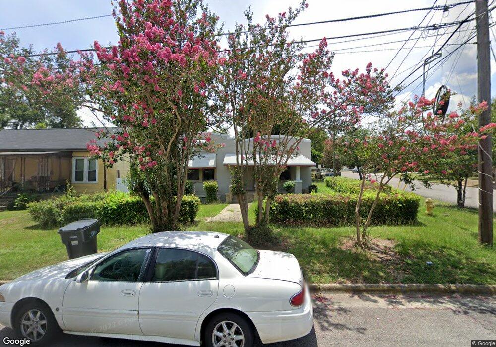
2066 Clark St Augusta, GA 30904
West End NeighborhoodEstimated Value: $81,000 - $95,000
2
Beds
1
Bath
882
Sq Ft
$102/Sq Ft
Est. Value
About This Home
This home is located at 2066 Clark St, Augusta, GA 30904 and is currently estimated at $89,812, approximately $101 per square foot. 2066 Clark St is a home located in Richmond County with nearby schools including Lamar Elementary School, W.S. Hornsby Elementary School, and Johnson Magnet.
Ownership History
Date
Name
Owned For
Owner Type
Purchase Details
Closed on
Jul 13, 2016
Sold by
Missions In Acti
Bought by
Hitchcock John P
Current Estimated Value
Home Financials for this Owner
Home Financials are based on the most recent Mortgage that was taken out on this home.
Original Mortgage
$8,000
Interest Rate
3.54%
Mortgage Type
New Conventional
Purchase Details
Closed on
Oct 11, 2000
Sold by
Peters George E
Bought by
Christain Missions In Action Llc
Purchase Details
Closed on
May 2, 1988
Sold by
Anderson James T Cawley Donald E Millar
Bought by
Peters George E Peters Rebecca U
Purchase Details
Closed on
Apr 1, 1988
Sold by
Anderson James T
Bought by
Peters George E
Purchase Details
Closed on
Mar 1, 1988
Sold by
Knight Rosa Lee By
Bought by
Anderson James T
Create a Home Valuation Report for This Property
The Home Valuation Report is an in-depth analysis detailing your home's value as well as a comparison with similar homes in the area
Home Values in the Area
Average Home Value in this Area
Purchase History
| Date | Buyer | Sale Price | Title Company |
|---|---|---|---|
| Hitchcock John P | $12,000 | -- | |
| Christain Missions In Action Llc | -- | -- | |
| Peters George E Peters Rebecca U | $10,000 | -- | |
| Peters George E | $10,000 | -- | |
| Anderson James T | $7,000 | -- |
Source: Public Records
Mortgage History
| Date | Status | Borrower | Loan Amount |
|---|---|---|---|
| Closed | Hitchcock John P | $8,000 |
Source: Public Records
Tax History
| Year | Tax Paid | Tax Assessment Tax Assessment Total Assessment is a certain percentage of the fair market value that is determined by local assessors to be the total taxable value of land and additions on the property. | Land | Improvement |
|---|---|---|---|---|
| 2025 | $1,068 | $23,620 | $2,088 | $21,532 |
| 2024 | $1,068 | $19,720 | $2,088 | $17,632 |
| 2023 | $889 | $22,920 | $2,088 | $20,832 |
| 2022 | $860 | $17,978 | $2,088 | $15,890 |
| 2021 | $881 | $12,012 | $2,077 | $9,935 |
| 2020 | $771 | $13,935 | $4,000 | $9,935 |
| 2019 | $804 | $13,935 | $4,000 | $9,935 |
| 2018 | $856 | $15,261 | $4,000 | $11,261 |
| 2017 | $481 | $15,261 | $4,000 | $11,261 |
| 2016 | $853 | $15,261 | $4,000 | $11,261 |
| 2015 | $857 | $15,261 | $4,000 | $11,261 |
| 2014 | $857 | $15,261 | $4,000 | $11,261 |
Source: Public Records
Map
Nearby Homes
- 2063 Broad St
- 2052 Clark St
- 2048 Edgar St
- 2025 Ellis St
- 2021 Ellis St
- 1918 Division St
- 531 Carr St
- 1933 Telfair St
- 513 Beaufort Dr
- 501 Milledge Rd Unit 9A
- 501 Milledge Rd Unit 18B
- 1929 Watkins St
- 1918 Walker St
- 1916 Walker St
- 608 Eve St
- 2225 Morningside Dr
- 1852 Hicks St
- 1850 Hicks St
- 1847 Telfair St
- 1915 Watkins St
Your Personal Tour Guide
Ask me questions while you tour the home.