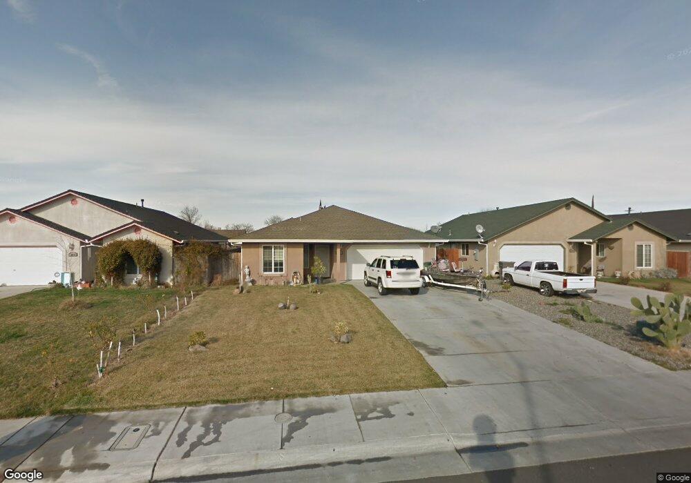
2068 Blossom Ave Corning, CA 96021
Estimated Value: $261,000 - $364,000
3
Beds
2
Baths
1,213
Sq Ft
$247/Sq Ft
Est. Value
About This Home
This home is located at 2068 Blossom Ave, Corning, CA 96021 and is currently estimated at $299,929, approximately $247 per square foot. 2068 Blossom Ave is a home located in Tehama County with nearby schools including West Street Elementary School, Maywood Middle School, and Corning High School.
Ownership History
Date
Name
Owned For
Owner Type
Purchase Details
Closed on
Nov 14, 2006
Sold by
Self Help Home Improvement Project
Bought by
Viveros Ramon E
Current Estimated Value
Home Financials for this Owner
Home Financials are based on the most recent Mortgage that was taken out on this home.
Original Mortgage
$12,000
Outstanding Balance
$7,158
Interest Rate
6.36%
Mortgage Type
Stand Alone Second
Estimated Equity
$292,771
Create a Home Valuation Report for This Property
The Home Valuation Report is an in-depth analysis detailing your home's value as well as a comparison with similar homes in the area
Purchase History
| Date | Buyer | Sale Price | Title Company |
|---|---|---|---|
| Viveros Ramon E | $60,000 | Chicago Title Company |
Source: Public Records
Mortgage History
| Date | Status | Borrower | Loan Amount |
|---|---|---|---|
| Open | Viveros Ramon E | $12,000 | |
| Open | Viveros Ramon E | $152,000 |
Source: Public Records
Tax History
| Year | Tax Paid | Tax Assessment Tax Assessment Total Assessment is a certain percentage of the fair market value that is determined by local assessors to be the total taxable value of land and additions on the property. | Land | Improvement |
|---|---|---|---|---|
| 2025 | $2,176 | $213,786 | $68,664 | $145,122 |
| 2023 | $2,177 | $213,786 | $68,664 | $145,122 |
| 2022 | $2,190 | $213,786 | $68,664 | $145,122 |
| 2021 | $1,948 | $194,351 | $62,422 | $131,929 |
| 2020 | $1,721 | $169,001 | $54,280 | $114,721 |
| 2019 | $1,600 | $160,953 | $51,695 | $109,258 |
| 2018 | $1,480 | $146,320 | $46,995 | $99,325 |
| 2017 | $1,357 | $133,018 | $42,723 | $90,295 |
| 2016 | $1,226 | $126,684 | $40,689 | $85,995 |
| 2015 | $1,237 | $126,684 | $40,689 | $85,995 |
| 2014 | $1,070 | $110,161 | $35,382 | $74,779 |
Source: Public Records
Map
Nearby Homes
- 2067 Blossom Ave
- 0 Toomes Ave Unit SN25272183
- 0 Toomes Ave Unit SN24222817
- 0 Toomes Ave Unit SN25176211
- 2018 Donnovan Ave
- 1001 Toomes Ave
- 0 Carona Ave
- 0 Hwy 99 W Unit SN26028885
- 540 S Hwy 99 W
- 1075 99w
- 0 Houghton Ave Unit 324045531
- 1568 Link St
- 1311 6th Ave
- 611 Hoag St
- 611 Hoag St Unit 250
- 1162 5th Ave
- 00 Loleta Ave
- 1517 Tehama St
- 1890 North St
- 1121 Marin St
- 2076 Blossom Ave
- 2060 Blossom Ave
- 2084 Blossom Ave
- 2052 Blossom Ave
- 2067 Donnovan Ave Unit Avenue
- 2067 Donnovan Ave
- 2073 Donnovan Ave
- 2092 Blossom Ave
- 2044 Blossom Ave
- 2055 Donnovan Ave
- 2075 Donnovan Ave
- 2049 Donnovan Ave
- 2059 Blossom Ave
- 2075 Blossom Ave
- 2089 Donnovan Ave
- 2036 Blossom Ave
- 2051 Blossom Ave
- 2083 Blossom Ave
- 2043 Donnovan Ave
- 2043 Blossom Ave
Your Personal Tour Guide
Ask me questions while you tour the home.