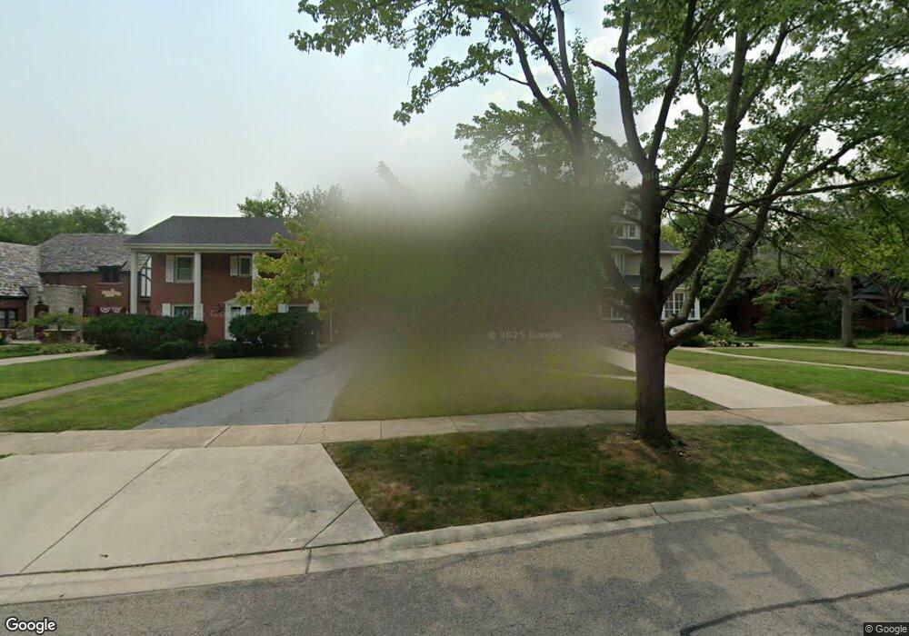
207 Addison Rd Riverside, IL 60546
Estimated Value: $549,000 - $676,000
4
Beds
4
Baths
1,890
Sq Ft
$323/Sq Ft
Est. Value
About This Home
This home is located at 207 Addison Rd, Riverside, IL 60546 and is currently estimated at $609,734, approximately $322 per square foot. 207 Addison Rd is a home located in Cook County with nearby schools including Central Elementary School, L J Hauser Jr High School, and Riverside Brookfield High School.
Ownership History
Date
Name
Owned For
Owner Type
Purchase Details
Closed on
May 10, 2006
Sold by
Castaneda Maria E and Castaneda Jesus
Bought by
Chapp Edward J and Chapp Geanabelle H
Current Estimated Value
Home Financials for this Owner
Home Financials are based on the most recent Mortgage that was taken out on this home.
Original Mortgage
$446,500
Outstanding Balance
$252,746
Interest Rate
6.39%
Mortgage Type
Fannie Mae Freddie Mac
Estimated Equity
$356,988
Purchase Details
Closed on
Jun 20, 2002
Sold by
Castaneda Jesus G and Castaneda Maria Elena
Bought by
Castaneda Maria E and Castaneda Jesus
Create a Home Valuation Report for This Property
The Home Valuation Report is an in-depth analysis detailing your home's value as well as a comparison with similar homes in the area
Home Values in the Area
Average Home Value in this Area
Purchase History
| Date | Buyer | Sale Price | Title Company |
|---|---|---|---|
| Chapp Edward J | $470,000 | Chicago Title Insurance Co | |
| Castaneda Maria E | -- | -- |
Source: Public Records
Mortgage History
| Date | Status | Borrower | Loan Amount |
|---|---|---|---|
| Open | Chapp Edward J | $446,500 |
Source: Public Records
Tax History
| Year | Tax Paid | Tax Assessment Tax Assessment Total Assessment is a certain percentage of the fair market value that is determined by local assessors to be the total taxable value of land and additions on the property. | Land | Improvement |
|---|---|---|---|---|
| 2025 | $14,615 | $43,100 | $8,360 | $34,740 |
| 2024 | $14,615 | $49,000 | $8,360 | $40,640 |
| 2023 | $10,900 | $49,000 | $8,360 | $40,640 |
| 2022 | $10,900 | $31,876 | $7,315 | $24,561 |
| 2021 | $10,506 | $31,876 | $7,315 | $24,561 |
| 2020 | $11,081 | $34,229 | $7,315 | $26,914 |
| 2019 | $11,697 | $36,663 | $6,688 | $29,975 |
| 2018 | $11,351 | $36,663 | $6,688 | $29,975 |
| 2017 | $11,003 | $36,663 | $6,688 | $29,975 |
| 2016 | $10,636 | $32,699 | $5,852 | $26,847 |
| 2015 | $10,349 | $32,699 | $5,852 | $26,847 |
| 2014 | $10,190 | $32,699 | $5,852 | $26,847 |
| 2013 | $10,374 | $35,884 | $5,852 | $30,032 |
Source: Public Records
Map
Nearby Homes
- 269 Shenstone Rd
- 231 Bartram Rd
- 369 Addison Rd
- 10 E Burlington St Unit 2C
- 10 E Burlington St Unit 2B
- 176 Riverside Rd
- 280 Blackhawk Rd
- 78 Pine Ave
- 475 Shenstone Rd Unit 104
- 475 Shenstone Rd Unit 304
- 475 Shenstone Rd Unit 303
- 315 Bartram Rd
- 484 Shenstone Rd
- 305 Desplaines Ave
- 220 Maplewood Rd
- 262 Lionel Rd
- 236 Maplewood Rd
- 101 Southcote Rd
- 303 Lionel Rd
- 478 Kent Rd
Your Personal Tour Guide
Ask me questions while you tour the home.