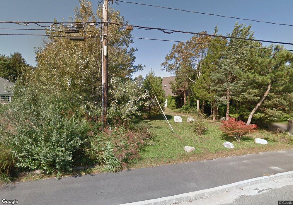
207 Sandy Neck Rd West Barnstable, MA 02668
West Barnstable NeighborhoodEstimated Value: $305,000 - $842,564
1
Bed
--
Bath
240
Sq Ft
$2,391/Sq Ft
Est. Value
About This Home
This home is located at 207 Sandy Neck Rd, West Barnstable, MA 02668 and is currently estimated at $573,782, approximately $2,390 per square foot. 207 Sandy Neck Rd is a home located in Barnstable County with nearby schools including West Barnstable Elementary School, Barnstable United Elementary School, and Barnstable Intermediate School.
Create a Home Valuation Report for This Property
The Home Valuation Report is an in-depth analysis detailing your home's value as well as a comparison with similar homes in the area
Home Values in the Area
Average Home Value in this Area
Tax History Compared to Growth
Tax History
| Year | Tax Paid | Tax Assessment Tax Assessment Total Assessment is a certain percentage of the fair market value that is determined by local assessors to be the total taxable value of land and additions on the property. | Land | Improvement |
|---|---|---|---|---|
| 2025 | $2,602 | $281,600 | $238,200 | $43,400 |
| 2024 | $2,467 | $281,600 | $238,200 | $43,400 |
| 2023 | $2,362 | $263,000 | $220,400 | $42,600 |
| 2022 | $2,276 | $203,900 | $174,400 | $29,500 |
| 2021 | $2,388 | $203,900 | $174,400 | $29,500 |
| 2020 | $2,035 | $166,000 | $141,500 | $24,500 |
| 2019 | $2,010 | $164,500 | $141,500 | $23,000 |
| 2018 | $2,196 | $174,600 | $148,900 | $25,700 |
| 2017 | $2,178 | $174,200 | $148,900 | $25,300 |
| 2016 | $2,159 | $175,100 | $149,800 | $25,300 |
| 2015 | $2,321 | $191,700 | $160,300 | $31,400 |
Source: Public Records
Map
Nearby Homes