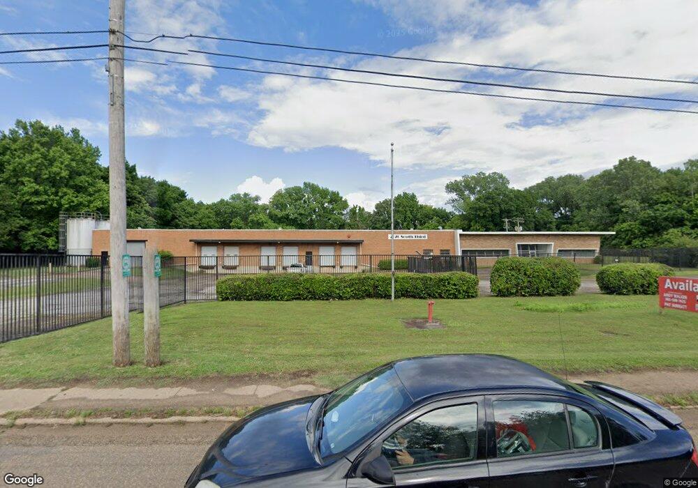
2070 S 3rd St Memphis, TN 38109
South Memphis NeighborhoodEstimated Value: $2,443,843
--
Bed
--
Bath
63,988
Sq Ft
$38/Sq Ft
Est. Value
About This Home
This home is located at 2070 S 3rd St, Memphis, TN 38109 and is currently priced at $2,443,843, approximately $38 per square foot. 2070 S 3rd St is a home located in Shelby County with nearby schools including Riverview Middle School, Hamilton High School, and Vision Preparatory Charter School.
Ownership History
Date
Name
Owned For
Owner Type
Purchase Details
Closed on
Jul 20, 2022
Sold by
Holliday Flowers & Events Inc
Bought by
2070 South Third Inc
Current Estimated Value
Purchase Details
Closed on
Mar 30, 2017
Sold by
Archer & Daniels & Midland Company
Bought by
Holiday Flower & Events Inc
Purchase Details
Closed on
Oct 30, 2015
Sold by
Hhtp Leading Co Llc
Bought by
Archer Daniels Midland Co
Purchase Details
Closed on
Jun 30, 2010
Sold by
Union Realty Company Gp
Bought by
Hhtp Leasing Company Llc
Create a Home Valuation Report for This Property
The Home Valuation Report is an in-depth analysis detailing your home's value as well as a comparison with similar homes in the area
Home Values in the Area
Average Home Value in this Area
Purchase History
| Date | Buyer | Sale Price | Title Company |
|---|---|---|---|
| 2070 South Third Inc | -- | Califf Cary | |
| Holiday Flower & Events Inc | -- | Commercial Title Group Lllc | |
| Holiday Flowers & Ebeknts Inc | $185,000 | Commerical Title Group Llc | |
| Archer Daniels Midland Co | $147,676 | Attorney | |
| Hhtp Leasing Company Llc | $1,100,000 | Chicago Title Insurance Co |
Source: Public Records
Tax History Compared to Growth
Tax History
| Year | Tax Paid | Tax Assessment Tax Assessment Total Assessment is a certain percentage of the fair market value that is determined by local assessors to be the total taxable value of land and additions on the property. | Land | Improvement |
|---|---|---|---|---|
| 2025 | $8,583 | $301,520 | $51,560 | $249,960 |
| 2024 | -- | $253,200 | $51,560 | $201,640 |
| 2023 | $15,424 | $253,200 | $51,560 | $201,640 |
| 2022 | $15,424 | $253,200 | $51,560 | $201,640 |
| 2021 | $6,869 | $253,200 | $51,560 | $201,640 |
| 2020 | $16,051 | $221,520 | $51,560 | $169,960 |
| 2019 | $7,080 | $221,520 | $51,560 | $169,960 |
| 2018 | $7,080 | $221,520 | $51,560 | $169,960 |
| 2017 | $7,247 | $221,520 | $59,400 | $162,120 |
| 2016 | $8,757 | $200,400 | $0 | $0 |
| 2014 | $8,757 | $200,400 | $0 | $0 |
Source: Public Records
Map
Nearby Homes
- 171 E Frank Ave
- 190 E Fernwood Ave
- 112 E Fernwood Ave
- 1985 Wynton St
- 45 E Davant Ave
- 33 E Fernwood Ave
- 361 Jacklyn Ave
- 60 E Mallory Ave
- 396 Fernwood Ave
- 1955 Martin Cir
- 2073 Florida St
- 449 Fernwood Ave
- 2010 Martin Cir
- 1872 Benning St
- 478 E Davant Ave
- 24 W Norwood Ave
- 442 Jacklyn Ave
- 507 E Frank Ave
- 26 E Bodley Ave
- 538 E Davant Ave
- 185 E Frank Ave
- 186 E Frank Ave
- 179 E Frank Ave
- 4728 Us 61 Hwy S
- 4363 Us 61 Hwy S
- 180 E Frank Ave
- 186 E Mckellar Ave
- 175 E Frank Ave
- 176 E Frank Ave
- 180 E Mckellar Ave
- 170 E Frank Ave
- 175 E Norwood Ave
- 172 E Mckellar Ave
- 165 E Frank Ave
- 190 E Norwood Ave
- 166 E Frank Ave
- 169 E Norwood Ave
- 186 E Norwood Ave
- 159 E Frank Ave
- 164 E Mckellar Ave