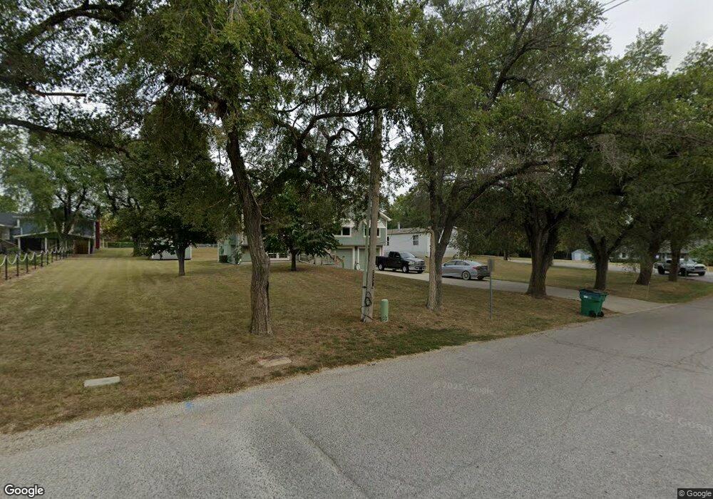
20715 S Lone Elm Rd Spring Hill, KS 66083
Estimated Value: $301,000 - $345,000
3
Beds
3
Baths
1,386
Sq Ft
$236/Sq Ft
Est. Value
About This Home
This home is located at 20715 S Lone Elm Rd, Spring Hill, KS 66083 and is currently estimated at $326,821, approximately $235 per square foot. 20715 S Lone Elm Rd is a home located in Johnson County with nearby schools including Wolf Creek Elementary School, Spring Hill Middle School, and Spring Hill High School.
Ownership History
Date
Name
Owned For
Owner Type
Purchase Details
Closed on
Nov 15, 2023
Sold by
Campbell Marvin W
Bought by
Campbell Marvin W and Campbell Christopher S
Current Estimated Value
Purchase Details
Closed on
Aug 21, 2023
Sold by
Baraban Lois N
Bought by
Campbell Marvin W
Purchase Details
Closed on
May 3, 2005
Sold by
Piccirillo Benjamin B and Piccirillo Linda K
Bought by
Baraban Manuel J and Baraban Lois N
Home Financials for this Owner
Home Financials are based on the most recent Mortgage that was taken out on this home.
Original Mortgage
$147,250
Interest Rate
5.92%
Mortgage Type
New Conventional
Purchase Details
Closed on
Jul 31, 2003
Sold by
Hammonds Glen and Hammonds Vanilda L
Bought by
Piccirillo Benjamin B and Piccirillo Linda K
Create a Home Valuation Report for This Property
The Home Valuation Report is an in-depth analysis detailing your home's value as well as a comparison with similar homes in the area
Home Values in the Area
Average Home Value in this Area
Purchase History
| Date | Buyer | Sale Price | Title Company |
|---|---|---|---|
| Campbell Marvin W | -- | None Listed On Document | |
| Campbell Marvin W | -- | None Listed On Document | |
| Baraban Manuel J | -- | First American Title | |
| Piccirillo Benjamin B | -- | Coffelt Land Title Inc |
Source: Public Records
Mortgage History
| Date | Status | Borrower | Loan Amount |
|---|---|---|---|
| Previous Owner | Baraban Manuel J | $147,250 |
Source: Public Records
Tax History Compared to Growth
Tax History
| Year | Tax Paid | Tax Assessment Tax Assessment Total Assessment is a certain percentage of the fair market value that is determined by local assessors to be the total taxable value of land and additions on the property. | Land | Improvement |
|---|---|---|---|---|
| 2024 | $4,173 | $30,291 | $5,889 | $24,402 |
| 2023 | $3,973 | $28,911 | $5,889 | $23,022 |
| 2022 | $3,814 | $27,669 | $5,356 | $22,313 |
| 2021 | $3,548 | $25,128 | $4,868 | $20,260 |
| 2020 | $3,450 | $23,771 | $4,406 | $19,365 |
| 2019 | $3,284 | $22,609 | $4,185 | $18,424 |
| 2018 | $3,002 | $21,344 | $4,194 | $17,150 |
| 2017 | $2,734 | $19,297 | $3,804 | $15,493 |
| 2016 | $2,597 | $18,423 | $3,804 | $14,619 |
| 2015 | $2,486 | $17,629 | $3,804 | $13,825 |
| 2013 | -- | $14,950 | $3,804 | $11,146 |
Source: Public Records
Map
Nearby Homes
- 515 W Smith St
- 511 W Smith St
- 513 W Smith St
- 509 W Smith St
- 404 N Washington St
- 514 W Lawrence Ave
- 510 W Lawrence Ave
- 508 W Lawrence Ave
- 512 W Lawrence Ave
- 21004 Millridge St
- 0 169 Hwy Unit HMS2507540
- 21660 W Johnson St
- 21743 Johnson Ct
- 218 S Webster St
- 206 W Spring St
- 308 E Nichols St
- 20367 W 193rd Terrace
- 20127 Falcon Ridge Dr
- 20410 W 201st St
- 0 W 215th St Unit HMS2527844
- 760 W North St
- 20675 S Lone Elm Rd
- 720 W North St
- 721 W North St
- 711 W North St
- 701 W North St
- 660 W North St
- 727 W North St
- 21510 W 207th St
- 21585 W 207th St
- 610 W North St
- 661 W North St
- 500 W North St
- 21330 W 207th St
- 809 N Jackson St
- 606 W Allen St
- 402 W North St
- 20701 S Highway 169
- 20700 S Highway 169
- 801 N Jackson St
