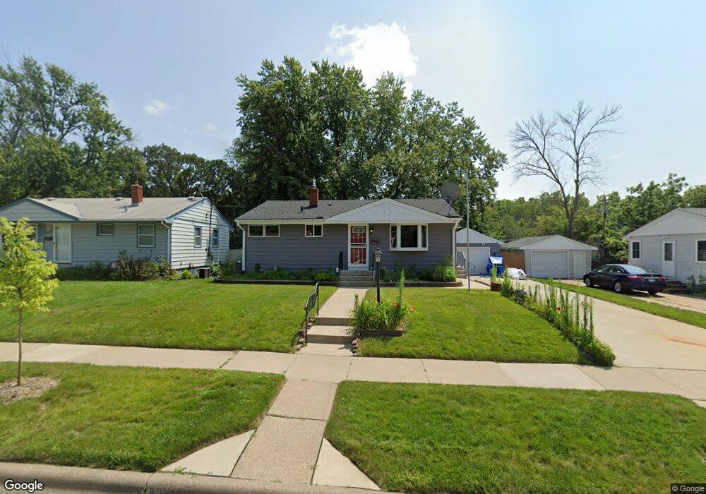
2078 Hawthorne Ave E Saint Paul, MN 55119
Southern Hayden Heights NeighborhoodEstimated Value: $289,000 - $299,007
3
Beds
1
Bath
502
Sq Ft
$588/Sq Ft
Est. Value
About This Home
This home is located at 2078 Hawthorne Ave E, Saint Paul, MN 55119 and is currently estimated at $295,252, approximately $588 per square foot. 2078 Hawthorne Ave E is a home located in Ramsey County with nearby schools including The Heights Community School, Txuj Ci HMong Language and Culture Upper Campus, and Johnson Senior High School.
Ownership History
Date
Name
Owned For
Owner Type
Purchase Details
Closed on
Sep 16, 2020
Sold by
Runyon Cecilia M and Runyon Richard Lee
Bought by
Runyon Richard Lee
Current Estimated Value
Purchase Details
Closed on
Dec 17, 1999
Sold by
Abbott Mark P and Abbott Jodi L
Bought by
Runyon Richard Lee and Runyon Cecelia M
Purchase Details
Closed on
Jun 28, 1999
Sold by
Steffen Scott G and Steffen Lori Denise
Bought by
Abbott Mark P and Amos Jodi L
Create a Home Valuation Report for This Property
The Home Valuation Report is an in-depth analysis detailing your home's value as well as a comparison with similar homes in the area
Home Values in the Area
Average Home Value in this Area
Purchase History
| Date | Buyer | Sale Price | Title Company |
|---|---|---|---|
| Runyon Richard Lee | -- | None Available | |
| Runyon Richard Lee | $117,900 | -- | |
| Abbott Mark P | $111,900 | -- |
Source: Public Records
Tax History Compared to Growth
Tax History
| Year | Tax Paid | Tax Assessment Tax Assessment Total Assessment is a certain percentage of the fair market value that is determined by local assessors to be the total taxable value of land and additions on the property. | Land | Improvement |
|---|---|---|---|---|
| 2025 | $5,066 | $313,900 | $27,000 | $286,900 |
| 2023 | $5,066 | $270,700 | $25,000 | $245,700 |
| 2022 | $3,492 | $268,900 | $25,000 | $243,900 |
| 2021 | $3,138 | $227,700 | $25,000 | $202,700 |
| 2020 | $3,166 | $213,700 | $24,300 | $189,400 |
| 2019 | $2,916 | $202,400 | $24,300 | $178,100 |
| 2018 | $2,602 | $185,800 | $24,300 | $161,500 |
| 2017 | $2,138 | $173,200 | $24,300 | $148,900 |
| 2016 | $1,868 | $0 | $0 | $0 |
| 2015 | $1,856 | $132,100 | $24,300 | $107,800 |
| 2014 | $1,250 | $0 | $0 | $0 |
Source: Public Records
Map
Nearby Homes
- 2032 Hyacinth Ave E
- 1976 Orange Ave E
- 2112 Cottage Ave E
- 1931 Hawthorne Ave E
- 2311 Nokomis Ave
- 2102 Sherwood Ave
- 1250 Mcknight Rd N
- 1406 Furness Pkwy
- 1891 Maryland Ave E
- 1868 Ivy Ave E
- 2401 Bison Dr
- 1806 Sherwood Ave
- 1950 Case Ave E
- 1828 Arlington Ave E
- 2249 Case Ave E
- 2106 Stillwater Ave E
- 2160 Nokomis Ave
- 1126 Breen St
- 1905 Montana Ave E
- 1732 Maryland Ave E
- 2074 Hawthorne Ave E
- 2082 Hawthorne Ave E
- 2070 Hawthorne Ave E
- 2086 Hawthorne Ave E
- 2066 Hawthorne Ave E
- 2079 Hawthorne Ave E
- 2090 Hawthorne Ave E
- 2075 Hawthorne Ave E
- 2085 Hawthorne Ave E
- 2071 Hawthorne Ave E
- 2089 Hawthorne Ave E
- 2062 Hawthorne Ave E
- 2094 Hawthorne Ave E
- 2065 Hawthorne Ave E
- 2093 Hawthorne Ave E
- 2072 Orange Ave E
- 2058 Hawthorne Ave E
- 2064 Orange Ave E
- 2059 Hawthorne Ave E
- 2078 Orange Ave E