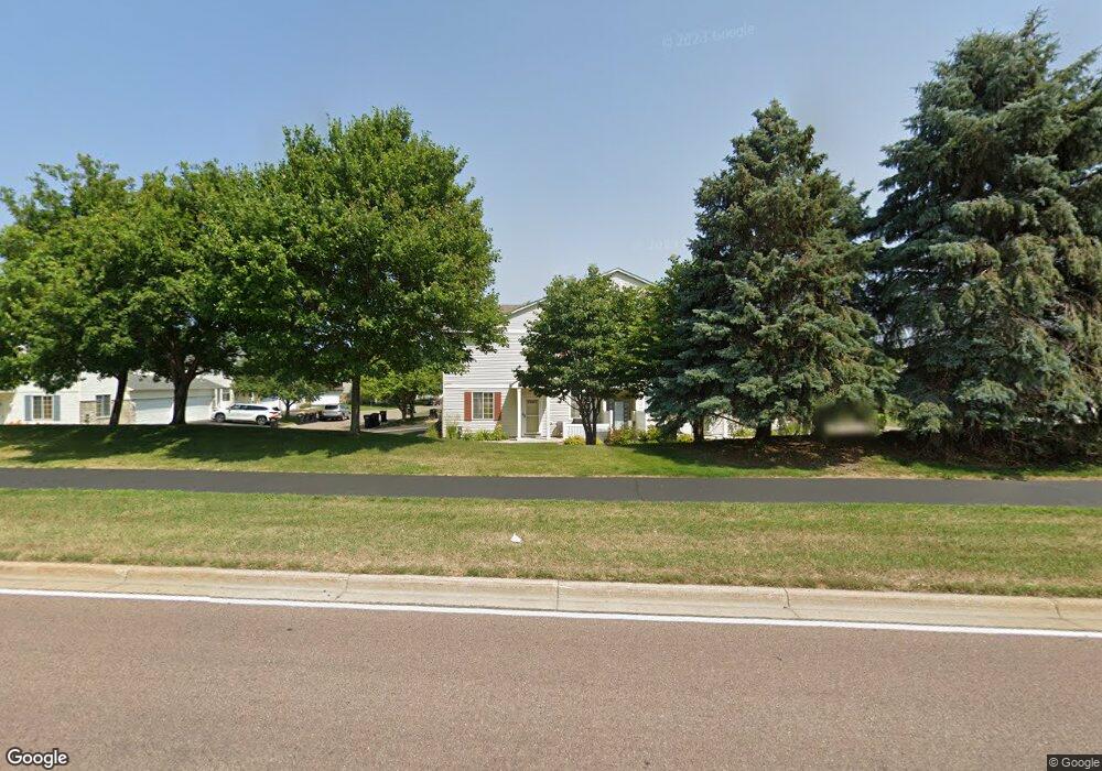
2078 Mockingbird Ave Shakopee, MN 55379
Estimated Value: $269,182 - $274,000
2
Beds
2
Baths
1,562
Sq Ft
$174/Sq Ft
Est. Value
About This Home
This home is located at 2078 Mockingbird Ave, Shakopee, MN 55379 and is currently estimated at $271,296, approximately $173 per square foot. 2078 Mockingbird Ave is a home located in Scott County with nearby schools including Sun Path Elementary School, Shakopee West Middle School, and Shakopee Senior High School.
Ownership History
Date
Name
Owned For
Owner Type
Purchase Details
Closed on
Apr 23, 2007
Sold by
Johnson Richard J and Johnson Holly J
Bought by
Krogsrud Johanna
Current Estimated Value
Purchase Details
Closed on
Apr 26, 2002
Sold by
Golle Aaron J
Bought by
Johnson Richard and Johnson Molly
Create a Home Valuation Report for This Property
The Home Valuation Report is an in-depth analysis detailing your home's value as well as a comparison with similar homes in the area
Home Values in the Area
Average Home Value in this Area
Purchase History
| Date | Buyer | Sale Price | Title Company |
|---|---|---|---|
| Krogsrud Johanna | $182,000 | -- | |
| Johnson Richard | $165,000 | -- |
Source: Public Records
Tax History Compared to Growth
Tax History
| Year | Tax Paid | Tax Assessment Tax Assessment Total Assessment is a certain percentage of the fair market value that is determined by local assessors to be the total taxable value of land and additions on the property. | Land | Improvement |
|---|---|---|---|---|
| 2025 | $2,338 | $252,600 | $76,100 | $176,500 |
| 2024 | $2,418 | $241,000 | $72,400 | $168,600 |
| 2023 | $2,476 | $237,400 | $71,000 | $166,400 |
| 2022 | $2,414 | $239,100 | $72,700 | $166,400 |
| 2021 | $2,078 | $203,800 | $57,000 | $146,800 |
| 2020 | $2,236 | $195,000 | $47,300 | $147,700 |
| 2019 | $2,102 | $185,900 | $45,000 | $140,900 |
| 2018 | $1,870 | $0 | $0 | $0 |
| 2016 | $1,842 | $0 | $0 | $0 |
| 2014 | -- | $0 | $0 | $0 |
Source: Public Records
Map
Nearby Homes
- 1844 Mockingbird Ave Unit 1102
- 1820 Mockingbird Ave
- 1552 Dublin Ct
- 2471 Tyrone Dr
- 2447 Tyrone Dr
- 2399 Tyrone Dr
- 1511 England Way
- 2263 Tyrone Dr
- 2388 Vierling Dr E
- 2006 Tyrone Dr
- 1624 Philipp Way
- Lewis Plan at Summerland Place - Landmark Collection
- 2795 Downing Ave
- Vanderbilt Plan at Summerland Place - Landmark Collection
- Sinclair Plan at Summerland Place - Landmark Collection
- 2804 Trinity Dr
- Nokomis Plan at Summerland Place - The Tradition Collection
- Gregorian Plan at Summerland Place - The Tradition Collection
- 1542 Philipp Way
- Pryor Plan at Summerland Place - The Tradition Collection
- 2074 Mockingbird Ave
- 2074 Mockingbird Ave Unit 302
- 2090 Mockingbird Ave
- 2070 Mockingbird Ave
- 2094 Mockingbird Ave
- 2086 Mockingbird Ave
- 2066 Mockingbird Ave
- 2082 Mockingbird Ave
- 2062 Mockingbird Ave Unit 208
- 2058 Mockingbird Ave
- 2058 Mockingbird Ave Unit 207
- 2054 Mockingbird Ave Unit 205
- 2046 Mockingbird Ave
- 2042 Mockingbird Ave Unit 202
- 2050 Mockingbird Ave Unit 205
- 2038 Mockingbird Ave
- 2034 Mockingbird Ave Unit 204
- 2140 Limerick Ln
- 2143 Limerick Ln
- 2071 Mockingbird Ave Unit 508