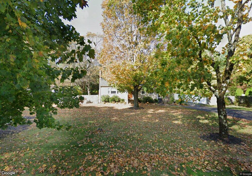
208 Jordan Rd Franklin, MA 02038
Estimated Value: $546,000 - $682,000
3
Beds
1
Bath
1,552
Sq Ft
$398/Sq Ft
Est. Value
About This Home
This home is located at 208 Jordan Rd, Franklin, MA 02038 and is currently estimated at $618,399, approximately $398 per square foot. 208 Jordan Rd is a home located in Norfolk County with nearby schools including Gerald M. Parmenter Elementary School, Remington Middle School, and Franklin High School.
Ownership History
Date
Name
Owned For
Owner Type
Purchase Details
Closed on
Jun 24, 1997
Sold by
Thurston John S and Thurston Mary L
Bought by
Smith Matthew M and Smith Eileen J
Current Estimated Value
Home Financials for this Owner
Home Financials are based on the most recent Mortgage that was taken out on this home.
Original Mortgage
$145,850
Interest Rate
7.87%
Mortgage Type
Purchase Money Mortgage
Purchase Details
Closed on
Feb 11, 1988
Sold by
Pollard Frederick
Bought by
Thurston John S
Home Financials for this Owner
Home Financials are based on the most recent Mortgage that was taken out on this home.
Original Mortgage
$147,250
Interest Rate
10.59%
Mortgage Type
Purchase Money Mortgage
Create a Home Valuation Report for This Property
The Home Valuation Report is an in-depth analysis detailing your home's value as well as a comparison with similar homes in the area
Purchase History
| Date | Buyer | Sale Price | Title Company |
|---|---|---|---|
| Smith Matthew M | $148,000 | -- | |
| Thurston John S | $155,000 | -- |
Source: Public Records
Mortgage History
| Date | Status | Borrower | Loan Amount |
|---|---|---|---|
| Open | Thurston John S | $230,062 | |
| Closed | Thurston John S | $36,000 | |
| Closed | Thurston John S | $145,850 | |
| Previous Owner | Thurston John S | $147,250 |
Source: Public Records
Tax History
| Year | Tax Paid | Tax Assessment Tax Assessment Total Assessment is a certain percentage of the fair market value that is determined by local assessors to be the total taxable value of land and additions on the property. | Land | Improvement |
|---|---|---|---|---|
| 2025 | $6,103 | $525,200 | $328,600 | $196,600 |
| 2024 | $5,985 | $507,600 | $328,600 | $179,000 |
| 2023 | $5,842 | $464,400 | $285,400 | $179,000 |
| 2022 | $5,243 | $373,200 | $216,200 | $157,000 |
| 2021 | $5,358 | $365,700 | $240,300 | $125,400 |
| 2020 | $4,983 | $343,400 | $224,400 | $119,000 |
| 2019 | $4,918 | $335,500 | $216,500 | $119,000 |
| 2018 | $4,667 | $318,600 | $212,500 | $106,100 |
| 2017 | $4,443 | $304,700 | $198,600 | $106,100 |
| 2016 | $4,288 | $295,700 | $201,300 | $94,400 |
| 2015 | $4,311 | $290,500 | $196,100 | $94,400 |
| 2014 | $3,851 | $266,500 | $172,100 | $94,400 |
Source: Public Records
Map
Nearby Homes
- 8 Aspen Way
- 3 Oak View Terrace Unit 3
- 54 Elysium St
- 107 Mill St
- 300 Chestnut St
- 9 Elliot Mills Unit 5
- 8 Elliot Mills Unit 30
- 5 Elliot Mills Unit 3
- 7 Elliot Mills Unit 4
- 10 Elliot Mills Unit 29
- 300 Lafayette Ave
- 87 Alpine Place Unit 2
- 90 E Central St Unit 304
- 33 Winter St Unit 2
- 0 Fall Ln
- 5 Flintlocke Rd
- 24 Matthew Dr
- 28 Waites Crossing
- 22 Waites Crossing
- 9 Waites Crossing
- 212 Jordan Rd
- 206 Jordan Rd
- 216 Jordan Rd
- 1 Tam o Shanter Rd
- 215 Jordan Rd
- 655 E Central St
- 643 E Central St
- 204 Jordan Rd
- 220 Jordan Rd
- 621 E Central St
- 205 Jordan Rd
- 691 E Central St
- 691 E Central St Unit 1
- 605 E Central St
- 2 Tam o Shanter Rd
- 140 Jordan Rd
- 2 Burning Tree Rd
- 5 Tam o Shanter Rd
- 636 E Central St
- 664 E Central St
Your Personal Tour Guide
Ask me questions while you tour the home.