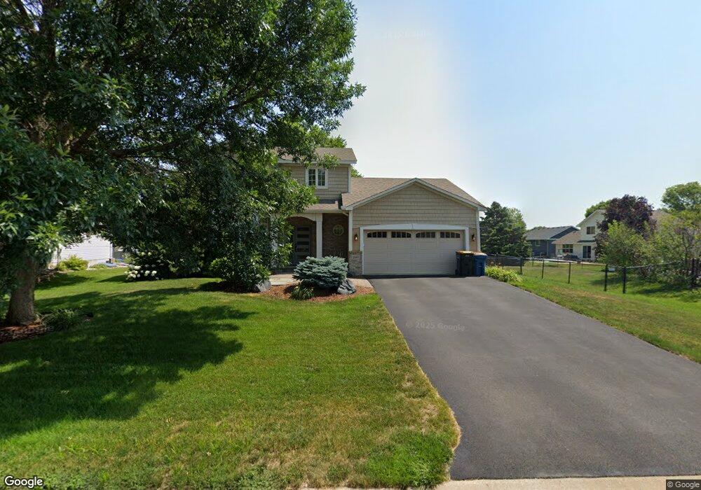
2083 Anton Way Shakopee, MN 55379
Estimated Value: $450,507 - $525,000
4
Beds
4
Baths
1,836
Sq Ft
$265/Sq Ft
Est. Value
About This Home
This home is located at 2083 Anton Way, Shakopee, MN 55379 and is currently estimated at $486,627, approximately $265 per square foot. 2083 Anton Way is a home located in Scott County with nearby schools including Sun Path Elementary School, Shakopee West Middle School, and Shakopee Senior High School.
Ownership History
Date
Name
Owned For
Owner Type
Purchase Details
Closed on
May 25, 2006
Sold by
Mccarthy Nguyen John and Mccarthy Nguyen Susan
Bought by
Fuhrman Roger J and Fuhrman Holly
Current Estimated Value
Purchase Details
Closed on
Dec 2, 1998
Sold by
Us Home Corp
Bought by
Mccarthy Nguyen John and Mccarthy Nguyen Susan
Create a Home Valuation Report for This Property
The Home Valuation Report is an in-depth analysis detailing your home's value as well as a comparison with similar homes in the area
Home Values in the Area
Average Home Value in this Area
Purchase History
| Date | Buyer | Sale Price | Title Company |
|---|---|---|---|
| Fuhrman Roger J | $323,900 | -- | |
| Mccarthy Nguyen John | $170,110 | -- |
Source: Public Records
Tax History Compared to Growth
Tax History
| Year | Tax Paid | Tax Assessment Tax Assessment Total Assessment is a certain percentage of the fair market value that is determined by local assessors to be the total taxable value of land and additions on the property. | Land | Improvement |
|---|---|---|---|---|
| 2025 | $4,250 | $403,000 | $141,500 | $261,500 |
| 2024 | $4,172 | $406,800 | $141,500 | $265,300 |
| 2023 | $4,406 | $390,000 | $136,100 | $253,900 |
| 2022 | $3,962 | $404,000 | $154,600 | $249,400 |
| 2021 | $3,582 | $314,200 | $122,000 | $192,200 |
| 2020 | $3,882 | $310,300 | $117,000 | $193,300 |
| 2019 | $3,952 | $295,500 | $104,000 | $191,500 |
| 2018 | $4,416 | $0 | $0 | $0 |
| 2016 | $4,882 | $0 | $0 | $0 |
| 2014 | -- | $0 | $0 | $0 |
Source: Public Records
Map
Nearby Homes
- 1844 Mockingbird Ave Unit 1102
- 1820 Mockingbird Ave
- 2052 Wilhelm Ct
- 1552 Dublin Ct
- 2471 Tyrone Dr
- 2447 Tyrone Dr
- 2399 Tyrone Dr
- 1511 England Way
- 2263 Tyrone Dr
- 1624 Philipp Way
- 1895 Omega Dr
- 2006 Tyrone Dr
- Lewis Plan at Summerland Place - Landmark Collection
- 2795 Downing Ave
- Vanderbilt Plan at Summerland Place - Landmark Collection
- Sinclair Plan at Summerland Place - Landmark Collection
- 2804 Trinity Dr
- Nokomis Plan at Summerland Place - The Tradition Collection
- Gregorian Plan at Summerland Place - The Tradition Collection
- 1542 Philipp Way
- 2077 Anton Way
- 2151 Groveland Way
- 1820 Quail Dr
- 1812 Quail Dr
- 2177 Groveland Way
- 2071 Anton Way
- 2086 Anton Way
- 2092 Anton Way
- 1804 Quail Dr
- 2187 Groveland Way
- 2080 Anton Way
- 2098 Anton Way
- 2065 Anton Way
- 2197 Groveland Way
- 1796 Quail Dr
- 2074 Anton Way
- 1963 Faribault St
- 2021 Saint Francis Ave
- 2011 Saint Francis Ave
- 2162 Groveland Way