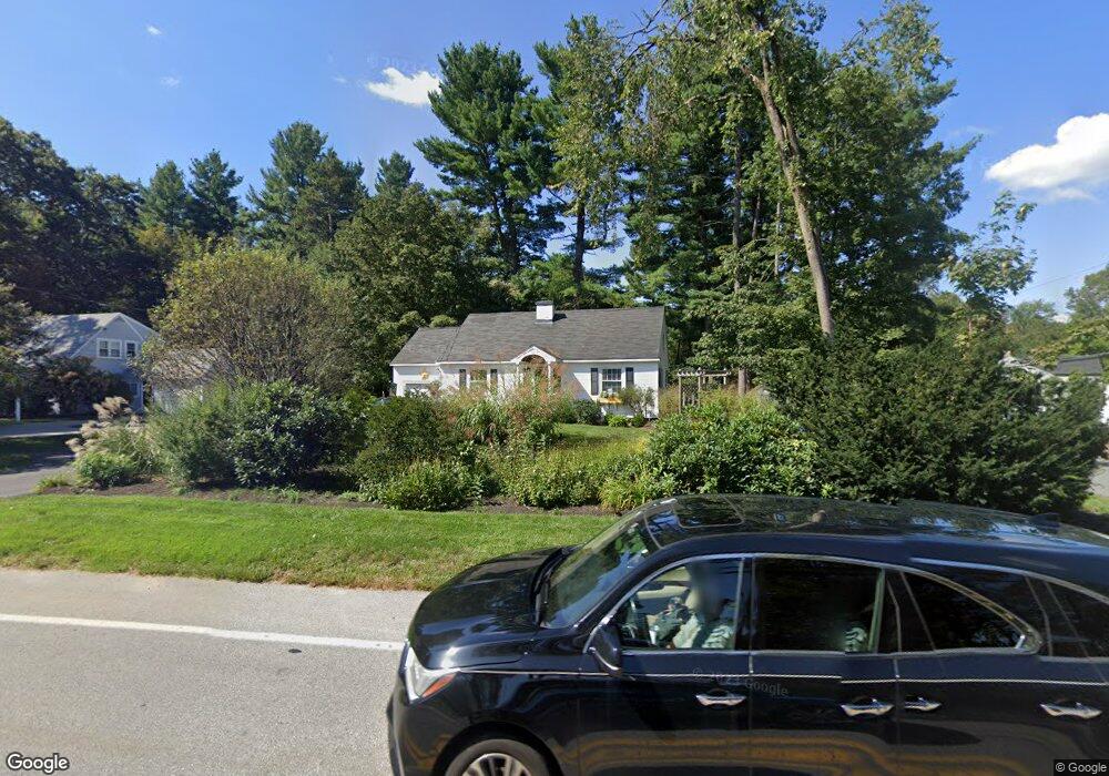
209 Lowell St Andover, MA 01810
West Andover NeighborhoodEstimated Value: $726,000 - $763,000
4
Beds
2
Baths
1,820
Sq Ft
$408/Sq Ft
Est. Value
About This Home
This home is located at 209 Lowell St, Andover, MA 01810 and is currently estimated at $743,111, approximately $408 per square foot. 209 Lowell St is a home located in Essex County with nearby schools including West Elementary School, Andover West Middle School, and Andover High School.
Ownership History
Date
Name
Owned For
Owner Type
Purchase Details
Closed on
Jun 13, 2001
Sold by
Driscoll Dennis R and Driscoll Jessie C
Bought by
Pineault David and Pineault Elaine
Current Estimated Value
Purchase Details
Closed on
Jan 29, 1999
Sold by
Sarni Kenneth
Bought by
Driscoll Dennis R
Purchase Details
Closed on
Nov 30, 1995
Sold by
Bull Timothy B
Bought by
Sarni Kenneth
Create a Home Valuation Report for This Property
The Home Valuation Report is an in-depth analysis detailing your home's value as well as a comparison with similar homes in the area
Home Values in the Area
Average Home Value in this Area
Purchase History
| Date | Buyer | Sale Price | Title Company |
|---|---|---|---|
| Pineault David | $250,000 | -- | |
| Pineault David | $250,000 | -- | |
| Driscoll Dennis R | $246,000 | -- | |
| Driscoll Dennis R | $246,000 | -- | |
| Sarni Kenneth | $180,000 | -- | |
| Sarni Kenneth | $180,000 | -- |
Source: Public Records
Mortgage History
| Date | Status | Borrower | Loan Amount |
|---|---|---|---|
| Open | Sarni Kenneth | $325,000 | |
| Closed | Sarni Kenneth | $230,000 |
Source: Public Records
Tax History Compared to Growth
Tax History
| Year | Tax Paid | Tax Assessment Tax Assessment Total Assessment is a certain percentage of the fair market value that is determined by local assessors to be the total taxable value of land and additions on the property. | Land | Improvement |
|---|---|---|---|---|
| 2024 | $8,386 | $651,100 | $363,200 | $287,900 |
| 2023 | $8,140 | $595,900 | $336,300 | $259,600 |
| 2022 | $7,614 | $521,500 | $284,800 | $236,700 |
| 2021 | $7,280 | $476,100 | $258,900 | $217,200 |
| 2020 | $6,980 | $465,000 | $252,600 | $212,400 |
| 2019 | $6,905 | $452,200 | $245,300 | $206,900 |
| 2018 | $6,589 | $421,300 | $231,300 | $190,000 |
| 2017 | $6,301 | $415,100 | $226,700 | $188,400 |
| 2016 | $6,152 | $415,100 | $226,700 | $188,400 |
| 2015 | $5,921 | $395,500 | $218,000 | $177,500 |
Source: Public Records
Map
Nearby Homes
- 37 Crenshaw Ln Unit 37
- 25 Clubview Dr Unit 25
- 13 Clubview Dr Unit 13
- 38 Lincoln Cir E
- 21 Clubview Dr Unit 21
- 42 Stevens St
- 18 Bryan Ln Unit 18
- 105 Central St
- 5 Castle Heights Rd
- 103 Central St
- 2 Powder Mill Square Unit 2B
- 10 Martingale Ln Unit 10
- 6 Windsor St
- Lot 7 Weeping Willow Dr
- 47 Abbot St
- 29 Glenwood Dr
- 96 Beacon St
- 24 York St
- 20 Walnut Ave
- 10 Maple Ave Unit 3