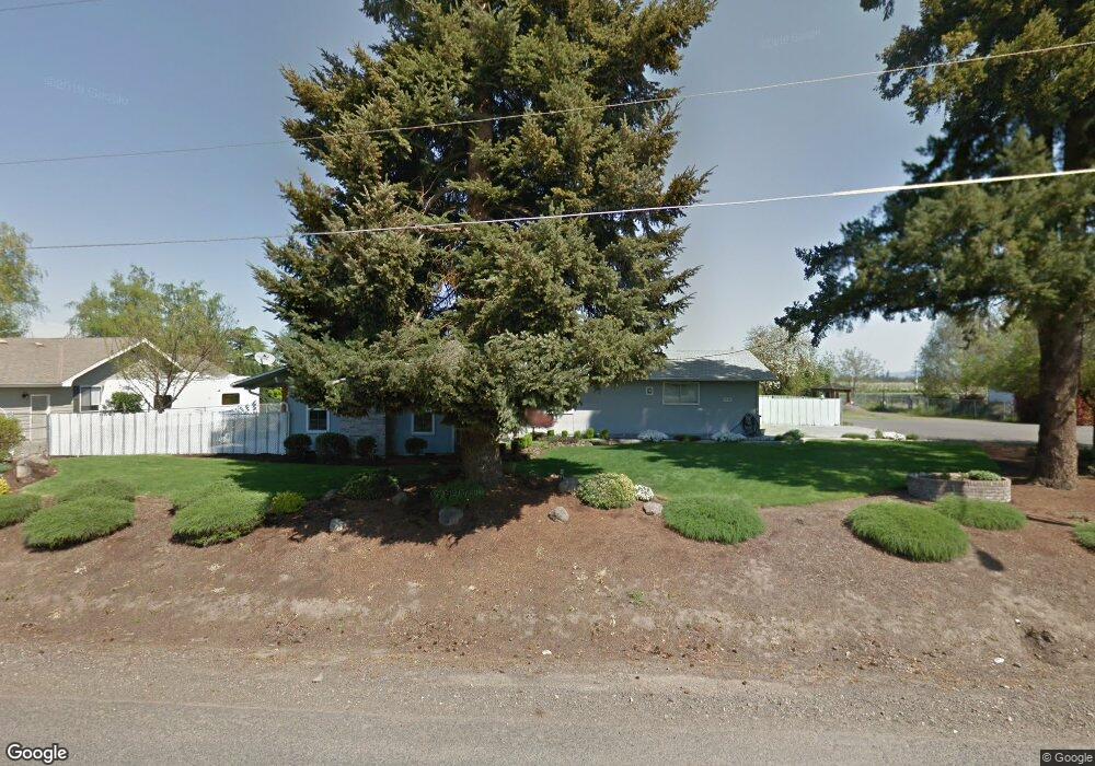
2090 Boes Ave Central Point, OR 97502
Estimated Value: $443,705 - $532,000
3
Beds
2
Baths
1,552
Sq Ft
$310/Sq Ft
Est. Value
About This Home
This home is located at 2090 Boes Ave, Central Point, OR 97502 and is currently estimated at $480,426, approximately $309 per square foot. 2090 Boes Ave is a home located in Jackson County with nearby schools including Jewett Elementary School, Scenic Middle School, and Crater High School.
Ownership History
Date
Name
Owned For
Owner Type
Purchase Details
Closed on
Feb 25, 2011
Sold by
Wilson Shirley A
Bought by
Wilson Shirley Ann and Shirley Ann Wilson Revocable Living Trus
Current Estimated Value
Create a Home Valuation Report for This Property
The Home Valuation Report is an in-depth analysis detailing your home's value as well as a comparison with similar homes in the area
Home Values in the Area
Average Home Value in this Area
Purchase History
| Date | Buyer | Sale Price | Title Company |
|---|---|---|---|
| Wilson Shirley Ann | -- | None Available |
Source: Public Records
Tax History Compared to Growth
Tax History
| Year | Tax Paid | Tax Assessment Tax Assessment Total Assessment is a certain percentage of the fair market value that is determined by local assessors to be the total taxable value of land and additions on the property. | Land | Improvement |
|---|---|---|---|---|
| 2025 | $4,787 | $263,260 | $142,390 | $120,870 |
| 2024 | $4,787 | $255,600 | $138,240 | $117,360 |
| 2023 | $4,624 | $248,160 | $134,220 | $113,940 |
| 2022 | $4,509 | $248,160 | $134,220 | $113,940 |
| 2021 | $4,317 | $240,940 | $130,310 | $110,630 |
| 2020 | $4,219 | $233,930 | $126,520 | $107,410 |
| 2019 | $3,806 | $220,510 | $119,260 | $101,250 |
| 2018 | $4,009 | $214,090 | $115,790 | $98,300 |
| 2017 | $3,917 | $214,090 | $115,790 | $98,300 |
| 2016 | $3,790 | $201,810 | $109,140 | $92,670 |
| 2015 | $3,635 | $201,810 | $109,140 | $92,670 |
| 2014 | $3,477 | $190,240 | $102,880 | $87,360 |
Source: Public Records
Map
Nearby Homes
- 4035 Rock Way
- 335 Applewood Dr
- 356 Marian Ave Unit 40
- 6199 Wilson Ln
- 327 Brookhaven Dr
- 4626 N Pacific Hwy
- 920 N 10th St
- 1010 N 3rd St
- 0 Peninger Rd
- 413 Sand Pointe Dr
- 426 Bridge Creek Dr
- 422 Castle Rock Dr
- 905 Comet Ave
- 833 Hazel St
- 1167 Boulder Ridge St
- 741 Hazel St
- 55 Crater Ln
- 526 Stone Pointe Dr
- 405 N 9th St
- 629 Bridge Creek Dr