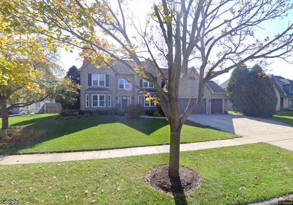
2091 Carlisle St Algonquin, IL 60102
Estimated Value: $499,000 - $535,000
4
Beds
3
Baths
2,936
Sq Ft
$175/Sq Ft
Est. Value
About This Home
This home is located at 2091 Carlisle St, Algonquin, IL 60102 and is currently estimated at $514,226, approximately $175 per square foot. 2091 Carlisle St is a home located in McHenry County with nearby schools including Westfield Community School, Kenneth E Neubert Elementary School, and United Junior High School.
Ownership History
Date
Name
Owned For
Owner Type
Purchase Details
Closed on
Jun 26, 2018
Sold by
Pignataro Philip J and Bell Pignataro Martha E
Bought by
Pignataro Philip J and Ball Pignataro Martha E
Current Estimated Value
Purchase Details
Closed on
Jan 20, 1994
Sold by
Brittany Homes & Development Inc
Bought by
Piganataro Philip J and Ball Pignataro Martha
Home Financials for this Owner
Home Financials are based on the most recent Mortgage that was taken out on this home.
Original Mortgage
$221,500
Interest Rate
7.26%
Purchase Details
Closed on
Aug 28, 1993
Sold by
The Steel City National Bank Of Chicago
Bought by
Brittany Homes & Development Inc
Create a Home Valuation Report for This Property
The Home Valuation Report is an in-depth analysis detailing your home's value as well as a comparison with similar homes in the area
Home Values in the Area
Average Home Value in this Area
Purchase History
| Date | Buyer | Sale Price | Title Company |
|---|---|---|---|
| Pignataro Philip J | -- | Attorney | |
| Piganataro Philip J | $247,000 | -- | |
| Brittany Homes & Development Inc | $46,500 | -- |
Source: Public Records
Mortgage History
| Date | Status | Borrower | Loan Amount |
|---|---|---|---|
| Closed | Piganataro Philip J | $221,500 |
Source: Public Records
Tax History Compared to Growth
Tax History
| Year | Tax Paid | Tax Assessment Tax Assessment Total Assessment is a certain percentage of the fair market value that is determined by local assessors to be the total taxable value of land and additions on the property. | Land | Improvement |
|---|---|---|---|---|
| 2024 | $11,578 | $164,010 | $29,608 | $134,402 |
| 2023 | $10,940 | $146,687 | $26,481 | $120,206 |
| 2022 | $10,335 | $131,511 | $35,294 | $96,217 |
| 2021 | $9,895 | $122,519 | $32,881 | $89,638 |
| 2020 | $9,624 | $118,182 | $31,717 | $86,465 |
| 2019 | $9,377 | $113,114 | $30,357 | $82,757 |
| 2018 | $8,911 | $104,493 | $28,043 | $76,450 |
| 2017 | $8,707 | $98,439 | $26,418 | $72,021 |
| 2016 | $8,552 | $92,327 | $24,778 | $67,549 |
| 2013 | -- | $88,856 | $23,115 | $65,741 |
Source: Public Records
Map
Nearby Homes
- 2161 Burnham Ct
- 000 County Line Rd
- 2043 Peach Tree Ln Unit 4122
- 2101 Peach Tree Ln Unit 4094
- 1971 Peach Tree Ln
- 30 Arbordale Ct Unit 4284
- 1900 Waverly Ln
- 741 Regal Ln
- 1820 Crofton Dr
- 2235 Dawson Ln
- 2248 Dawson Ln Unit 272
- 661 Majestic Dr
- 2060 Dorchester Ave
- 700 Fairfield Ln
- Marianne Plan at Algonquin Meadows - Traditional Townhomes
- Darcy Plan at Algonquin Meadows - Traditional Townhomes
- Charlotte Plan at Algonquin Meadows - Traditional Townhomes
- Adams Plan at Algonquin Meadows - Single Family
- Sequoia Plan at Algonquin Meadows - Single Family
- Bryce Plan at Algonquin Meadows - Single Family
- 2071 Carlisle St
- 2111 Carlisle St
- 2090 Burnham Ct
- 2051 Carlisle St
- 2070 Carlisle St
- 2070 Carlisle St
- 1425 Carlisle St
- 2050 Carlisle St
- 2090 Carlisle St
- 2090 Carlisle St
- 2110 Burnham Ct
- 2030 Carlisle St
- 2101 Burnham Ct
- 2110 Carlisle St
- 2031 Carlisle St
- 2121 Burnham Ct
- 2010 Carlisle St
- 2041 Tunbridge Trail
- 2041 Tunbridge Trail
- 2031 Tunbridge Trail