20913 Wolf Rd Mokena, IL 60448
North Frankfort NeighborhoodEstimated Value: $414,000 - $573,812
4
Beds
1
Bath
1,728
Sq Ft
$295/Sq Ft
Est. Value
About This Home
This home is located at 20913 Wolf Rd, Mokena, IL 60448 and is currently estimated at $510,604, approximately $295 per square foot. 20913 Wolf Rd is a home located in Will County with nearby schools including Mokena Elementary School, Mokena Intermediate School, and Mokena Jr High School.
Ownership History
Date
Name
Owned For
Owner Type
Purchase Details
Closed on
Jan 30, 2006
Sold by
Marquette Bank
Bought by
Wallow Joann and Wallow William
Current Estimated Value
Home Financials for this Owner
Home Financials are based on the most recent Mortgage that was taken out on this home.
Original Mortgage
$520,000
Interest Rate
9.2%
Mortgage Type
Purchase Money Mortgage
Create a Home Valuation Report for This Property
The Home Valuation Report is an in-depth analysis detailing your home's value as well as a comparison with similar homes in the area
Home Values in the Area
Average Home Value in this Area
Purchase History
| Date | Buyer | Sale Price | Title Company |
|---|---|---|---|
| Wallow Joann | -- | Assurance Title Corp |
Source: Public Records
Mortgage History
| Date | Status | Borrower | Loan Amount |
|---|---|---|---|
| Previous Owner | Wallow Joann | $520,000 |
Source: Public Records
Tax History
| Year | Tax Paid | Tax Assessment Tax Assessment Total Assessment is a certain percentage of the fair market value that is determined by local assessors to be the total taxable value of land and additions on the property. | Land | Improvement |
|---|---|---|---|---|
| 2024 | $9,707 | $246,776 | $139,970 | $106,806 |
| 2023 | $9,707 | $220,395 | $125,007 | $95,388 |
| 2022 | $14,598 | $200,742 | $113,860 | $86,882 |
| 2021 | $10,925 | $187,803 | $106,521 | $81,282 |
| 2020 | $11,018 | $182,510 | $103,519 | $78,991 |
| 2019 | $10,978 | $177,625 | $100,748 | $76,877 |
| 2018 | $10,951 | $172,519 | $97,852 | $74,667 |
| 2017 | $11,615 | $177,286 | $104,362 | $72,924 |
| 2016 | $11,126 | $171,208 | $100,784 | $70,424 |
| 2015 | $10,955 | $165,179 | $97,235 | $67,944 |
| 2014 | $10,955 | $164,031 | $96,559 | $67,472 |
| 2013 | $10,955 | $166,158 | $97,811 | $68,347 |
Source: Public Records
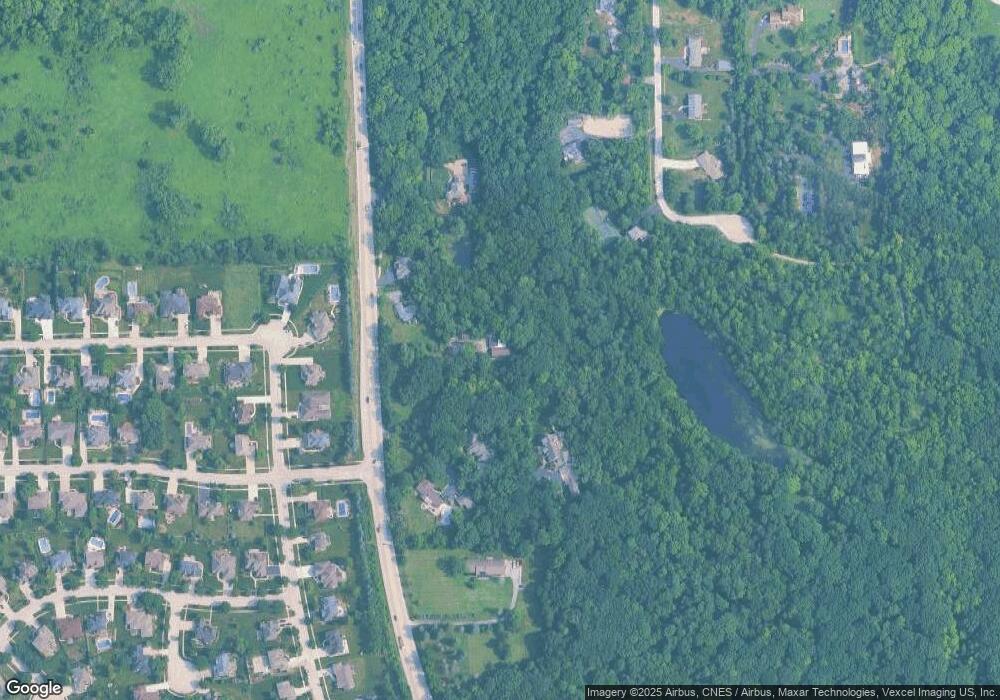
Map
Nearby Homes
- 11140 Lincoln Hwy
- 21170 Sage Brush Ln
- 21334 Sage Brush Ln
- 21647 S Owens Rd
- 719 Stonebridge Rd
- 21580 Skyway Dr
- 425 Cottonwood Rd
- 20044 S Kohlwood Dr
- 11550 Francis Rd
- 11125 Denny Ave
- 21942 Princeton Cir
- 11144 Denny Ave
- 456 Ohio Rd
- 320 Garfield Ave
- Lot 7 Block 3 McGovn Mcgovney St
- 10039 Croft Ln
- 732 Teal Dr Unit 1
- 10508 W La Porte Rd
- 19838 Patricia Ln
- 11321 1st St
- 20901 Wolf Rd
- 20927 Wolf Rd
- 20881 Wolf Rd
- 20937 Wolf Rd
- 20828 Briarwood Ln
- 20841 Wolf Rd
- 20947 Wolf Rd
- 20909 Mayfair Dr
- 20915 Mayfair Dr
- 20921 Mayfair Dr
- 20814 Briarwood Ln
- 11215 Abbey Rd
- 11222 Wexford Dr
- 21037 Wolf Rd
- 20945 Mayfair Dr
- 20819 Briarwood Ln
- 20951 Mayfair Ct
- 11225 Wexford Dr
- 20922 Mayfair Dr
- 20764 S Briarwood Ln
Your Personal Tour Guide
Ask me questions while you tour the home.