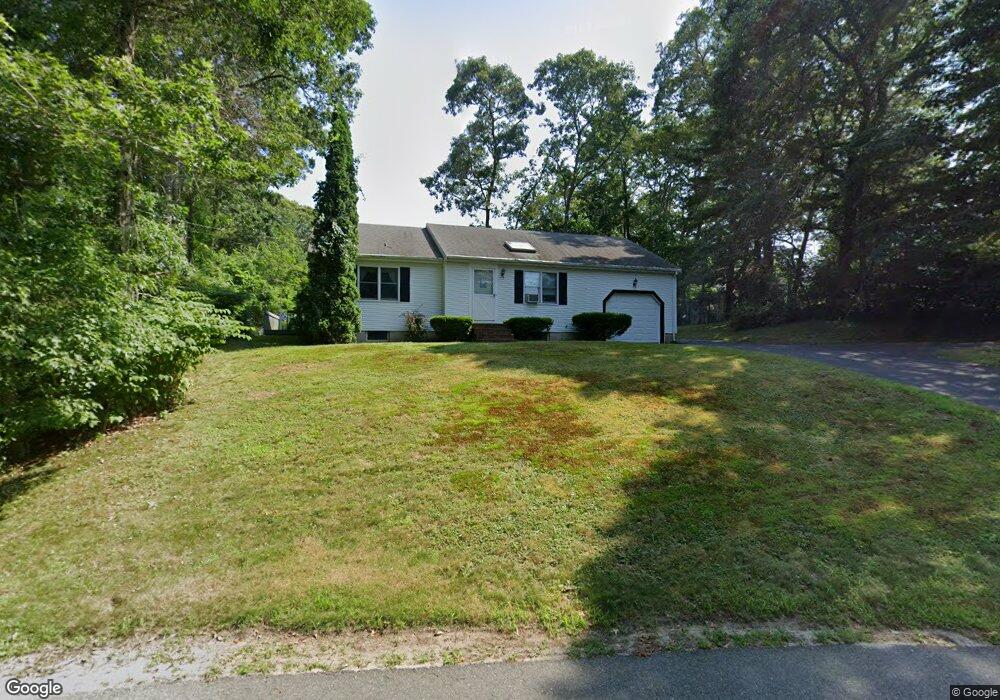
21 Carlton Rd Bourne, MA 2532
Monument Beach NeighborhoodEstimated Value: $455,000 - $619,000
2
Beds
2
Baths
1,001
Sq Ft
$526/Sq Ft
Est. Value
About This Home
This home is located at 21 Carlton Rd, Bourne, MA 2532 and is currently estimated at $526,445, approximately $525 per square foot. 21 Carlton Rd is a home located in Barnstable County with nearby schools including Bourne High School, St Margaret Regional School, and Cadence Academy Preschool - Bourne.
Ownership History
Date
Name
Owned For
Owner Type
Purchase Details
Closed on
Apr 14, 2000
Sold by
Horan Thomas F
Bought by
Dimarzo Louis M
Current Estimated Value
Home Financials for this Owner
Home Financials are based on the most recent Mortgage that was taken out on this home.
Original Mortgage
$60,000
Outstanding Balance
$20,600
Interest Rate
8.26%
Mortgage Type
Purchase Money Mortgage
Estimated Equity
$505,845
Purchase Details
Closed on
Oct 31, 1996
Sold by
Teed Michele R
Bought by
Horan Thomas F and Horan Joan M
Home Financials for this Owner
Home Financials are based on the most recent Mortgage that was taken out on this home.
Original Mortgage
$50,000
Interest Rate
8.07%
Mortgage Type
Purchase Money Mortgage
Create a Home Valuation Report for This Property
The Home Valuation Report is an in-depth analysis detailing your home's value as well as a comparison with similar homes in the area
Home Values in the Area
Average Home Value in this Area
Purchase History
| Date | Buyer | Sale Price | Title Company |
|---|---|---|---|
| Dimarzo Louis M | $144,000 | -- | |
| Dimarzo Louis M | $144,000 | -- | |
| Horan Thomas F | $125,500 | -- | |
| Horan Thomas F | $125,500 | -- |
Source: Public Records
Mortgage History
| Date | Status | Borrower | Loan Amount |
|---|---|---|---|
| Open | Horan Thomas F | $60,000 | |
| Closed | Horan Thomas F | $60,000 | |
| Previous Owner | Horan Thomas F | $90,000 | |
| Previous Owner | Horan Thomas F | $50,000 |
Source: Public Records
Tax History Compared to Growth
Tax History
| Year | Tax Paid | Tax Assessment Tax Assessment Total Assessment is a certain percentage of the fair market value that is determined by local assessors to be the total taxable value of land and additions on the property. | Land | Improvement |
|---|---|---|---|---|
| 2025 | $3,290 | $421,300 | $192,500 | $228,800 |
| 2024 | $3,217 | $401,100 | $183,300 | $217,800 |
| 2023 | $3,128 | $355,100 | $162,300 | $192,800 |
| 2022 | $2,993 | $296,600 | $143,600 | $153,000 |
| 2021 | $2,926 | $271,700 | $130,700 | $141,000 |
| 2020 | $2,831 | $263,600 | $129,400 | $134,200 |
| 2019 | $2,692 | $256,100 | $129,400 | $126,700 |
| 2018 | $2,461 | $233,500 | $117,400 | $116,100 |
| 2017 | $2,353 | $228,400 | $116,300 | $112,100 |
| 2016 | $2,294 | $225,800 | $116,300 | $109,500 |
| 2015 | $2,274 | $225,800 | $116,300 | $109,500 |
Source: Public Records
Map
Nearby Homes
- 320 County Rd
- 19 Carlton Rd
- 336 County Rd
- 336 County Rd
- 316 County Rd
- 17 Carlton Rd
- 23 Carlton Rd
- 338 County Rd
- 338 County Rd
- 10 Carl Gardner Rd
- 12 Carlton Rd
- 310 County Rd
- 4 Carl Gardner Rd
- 8 Carlton Rd
- 331 County Rd
- 15 Carleton St Unit 15
- 15 Carleton St Unit 11
- 15 Carlton Rd
- 342 County Rd
- 341 County Rd