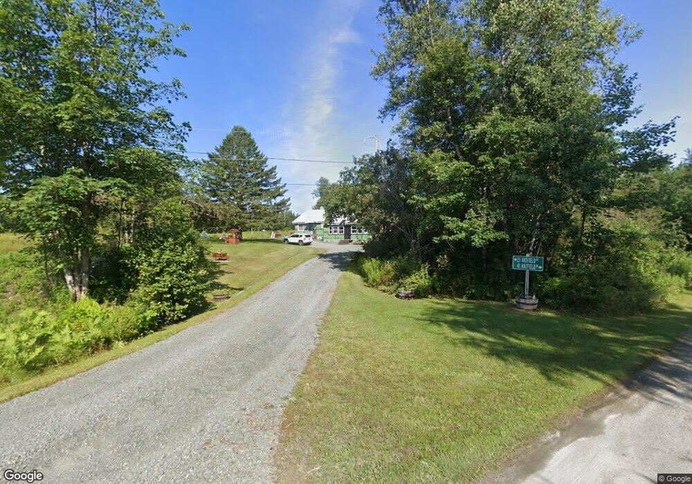
21 Hatfield Dr Whitefield, NH 03598
Estimated Value: $344,000 - $373,000
2
Beds
2
Baths
1,512
Sq Ft
$241/Sq Ft
Est. Value
About This Home
This home is located at 21 Hatfield Dr, Whitefield, NH 03598 and is currently estimated at $364,272, approximately $240 per square foot. 21 Hatfield Dr is a home located in Coos County with nearby schools including Whitefield Elementary School, White Mountains Regional High School, and Easter Seal Lancaster School.
Ownership History
Date
Name
Owned For
Owner Type
Purchase Details
Closed on
Sep 12, 2023
Sold by
Hatfield Gregory M
Bought by
Hatfield & Bean Ft and Hatfield
Current Estimated Value
Purchase Details
Closed on
Nov 5, 2014
Sold by
Hatfield Gregory M and Hatfield Amy L
Bought by
Hatfield Gregory M
Home Financials for this Owner
Home Financials are based on the most recent Mortgage that was taken out on this home.
Original Mortgage
$135,000
Interest Rate
4.18%
Mortgage Type
New Conventional
Create a Home Valuation Report for This Property
The Home Valuation Report is an in-depth analysis detailing your home's value as well as a comparison with similar homes in the area
Home Values in the Area
Average Home Value in this Area
Purchase History
| Date | Buyer | Sale Price | Title Company |
|---|---|---|---|
| Hatfield & Bean Ft | -- | None Available | |
| Hatfield Gregory M | -- | -- |
Source: Public Records
Mortgage History
| Date | Status | Borrower | Loan Amount |
|---|---|---|---|
| Previous Owner | Hatfield Gregory M | $135,000 |
Source: Public Records
Tax History Compared to Growth
Tax History
| Year | Tax Paid | Tax Assessment Tax Assessment Total Assessment is a certain percentage of the fair market value that is determined by local assessors to be the total taxable value of land and additions on the property. | Land | Improvement |
|---|---|---|---|---|
| 2024 | $4,566 | $278,400 | $56,200 | $222,200 |
| 2023 | $4,080 | $157,600 | $21,700 | $135,900 |
| 2022 | $4,006 | $157,600 | $21,700 | $135,900 |
| 2021 | $4,028 | $157,600 | $21,700 | $135,900 |
| 2018 | $3,672 | $145,130 | $18,900 | $126,230 |
| 2016 | $3,595 | $145,130 | $18,900 | $126,230 |
| 2015 | $3,694 | $145,130 | $18,900 | $126,230 |
| 2012 | $3,523 | $173,460 | $36,750 | $136,710 |
Source: Public Records
Map
Nearby Homes
- 44 Shirlaw Dr
- 296 Mountain View Rd
- 285 Lancaster Rd
- 235 Lancaster Rd Unit 5
- 237 Lancaster Rd Unit 1
- 237 Lancaster Rd
- 6 Jefferson Rd
- 0 Jefferson Rd Unit 3 5063272
- 19 Elm St
- 75 Elm St
- 16 Littleton Rd
- Lot 11 Mirror Lake Rd
- Lot 10 Mcintyre Rd
- Lot 9 Mcintyre Rd
- Lot 8 Mcintyre Rd
- Lot 7 Mcintyre Rd
- Lot 4 Mcintyre Rd
- Lot 3 Mcintyre Rd
- Lot 2 Mcintyre Rd
- Lot 1 Mcintyre Rd
- 41 Hatfield Dr
- 367 Jefferson Rd
- 347 Jefferson Rd
- 399 Jefferson Rd
- 5 Hazen Rd
- 407 Jefferson Rd
- 8 Hazen Rd
- 305 Jefferson Rd
- 12 Hazen Rd
- 406 Jefferson Rd
- 419 Jefferson Rd
- 318 Jefferson Rd
- 390 Jefferson Rd
- 45 Shirlaw Dr
- 73 Fillons Folly Rd
- 24 Hazen Rd
- 27 Hazen Rd
- 0 Shirlaw Dr
- 0 Shirlaw Dr Unit 118623
- 0 Shirlaw Dr Unit 4066328