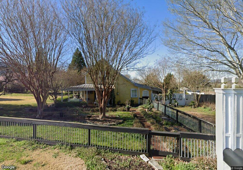
21 Jim Stewart Rd Dunlap, TN 37327
Estimated Value: $215,466 - $266,000
Studio
1
Bath
1,408
Sq Ft
$173/Sq Ft
Est. Value
About This Home
This home is located at 21 Jim Stewart Rd, Dunlap, TN 37327 and is currently estimated at $243,617, approximately $173 per square foot. 21 Jim Stewart Rd is a home located in Sequatchie County with nearby schools including Griffith Elementary School, Sequatchie County Middle School, and Sequatchie County High School.
Ownership History
Date
Name
Owned For
Owner Type
Purchase Details
Closed on
Apr 16, 1998
Sold by
Goldie Crabtree
Bought by
Burnette Curtis D and Burnette Pamela
Current Estimated Value
Home Financials for this Owner
Home Financials are based on the most recent Mortgage that was taken out on this home.
Original Mortgage
$71,900
Outstanding Balance
$12,887
Interest Rate
7.14%
Estimated Equity
$230,730
Purchase Details
Closed on
Sep 5, 1997
Sold by
Heirs Barker Sam F
Bought by
Goldie Crabtree and Goldie Condra Ben
Create a Home Valuation Report for This Property
The Home Valuation Report is an in-depth analysis detailing your home's value as well as a comparison with similar homes in the area
Home Values in the Area
Average Home Value in this Area
Purchase History
| Date | Buyer | Sale Price | Title Company |
|---|---|---|---|
| Burnette Curtis D | $65,000 | -- | |
| Goldie Crabtree | $180,000 | -- |
Source: Public Records
Mortgage History
| Date | Status | Borrower | Loan Amount |
|---|---|---|---|
| Open | Goldie Crabtree | $71,900 |
Source: Public Records
Tax History
| Year | Tax Paid | Tax Assessment Tax Assessment Total Assessment is a certain percentage of the fair market value that is determined by local assessors to be the total taxable value of land and additions on the property. | Land | Improvement |
|---|---|---|---|---|
| 2025 | $773 | $42,100 | $14,375 | $27,725 |
| 2024 | $773 | $42,100 | $14,375 | $27,725 |
| 2023 | $773 | $42,100 | $14,375 | $27,725 |
| 2022 | $523 | $21,425 | $9,625 | $11,800 |
| 2021 | $523 | $21,425 | $9,625 | $11,800 |
| 2020 | $523 | $21,425 | $9,625 | $11,800 |
| 2019 | $523 | $21,425 | $9,625 | $11,800 |
| 2018 | $523 | $21,425 | $9,625 | $11,800 |
| 2017 | $523 | $21,425 | $9,625 | $11,800 |
| 2016 | $547 | $21,300 | $9,850 | $11,450 |
| 2015 | $547 | $21,300 | $9,850 | $11,450 |
| 2014 | $547 | $21,300 | $9,850 | $11,450 |
Source: Public Records
Map
Nearby Homes
- 870 Ridge Rd
- 387 Dogwood Ln
- 27 Skyhigh Dr
- 300 Skyhigh Dr
- 0 Skyhigh Dr Unit 1528243
- 16 Countryside Dr
- Lot 35 River Ridge Dr
- 0 Countryside Dr Unit RTC3035699
- 0 Countryside Dr Unit 1310228
- 00 Countryside Dr
- 94 Rivers Edge Rd
- 000 Hudlow Loop Rd
- 533 Gun Shop Rd
- 0 Scenic Hollow Dr
- 13875 Rankin Ave
- 58 Marilyn Ct
- 451 Hudlow Rd
- 0 Hudlow Loop 4 1 Ac Rd
- 919 John Burch Rd
- 0 Shady Oaks Cove Unit 1525918
- 24 Herman Hickson Rd
- 118 Jim Stewart Rd
- 164 Herman Hickson Rd
- 88 Herman Hickson Rd
- 127 Jim Stewart Rd
- 6464 E Valley Rd
- 33 Herman Hickson Rd
- 0 E Valley Rd
- 6721 E Valley Rd
- 274 Lester Cir
- 167 Jim Stewart Rd
- 1768 Jim Stewart Rd
- 124 Leon Stewart Rd
- 172 Herman Hickson Rd
- 0 Herman Hickson Rd
- 88 Herman Hixson Rd
- 217 Jim Stewart Rd
- 6759 E Valley Rd
- 254 Herman Hickson Rd
- 220 Jim Stewart Rd
Your Personal Tour Guide
Ask me questions while you tour the home.