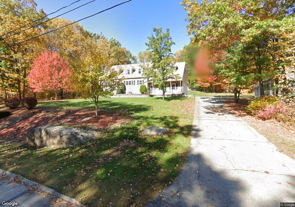
21 Johns Dr Hooksett, NH 03106
Estimated Value: $666,402 - $756,000
3
Beds
2
Baths
2,466
Sq Ft
$285/Sq Ft
Est. Value
About This Home
This home is located at 21 Johns Dr, Hooksett, NH 03106 and is currently estimated at $703,601, approximately $285 per square foot. 21 Johns Dr is a home located in Merrimack County with nearby schools including Fred C. Underhill School, Hooksett Memorial School, and David R. Cawley Middle School.
Ownership History
Date
Name
Owned For
Owner Type
Purchase Details
Closed on
Oct 23, 2014
Sold by
Bergeron Curtis and Bergeron Diane L
Bought by
Bergeron Ft and Bergeron Curtis
Current Estimated Value
Purchase Details
Closed on
Jul 30, 1990
Bought by
Bergeron Ft
Create a Home Valuation Report for This Property
The Home Valuation Report is an in-depth analysis detailing your home's value as well as a comparison with similar homes in the area
Home Values in the Area
Average Home Value in this Area
Purchase History
| Date | Buyer | Sale Price | Title Company |
|---|---|---|---|
| Bergeron Ft | -- | -- | |
| Bergeron Ft | $45,000 | -- |
Source: Public Records
Mortgage History
| Date | Status | Borrower | Loan Amount |
|---|---|---|---|
| Previous Owner | Bergeron Ft | $150,000 |
Source: Public Records
Tax History
| Year | Tax Paid | Tax Assessment Tax Assessment Total Assessment is a certain percentage of the fair market value that is determined by local assessors to be the total taxable value of land and additions on the property. | Land | Improvement |
|---|---|---|---|---|
| 2024 | $9,669 | $570,100 | $141,200 | $428,900 |
| 2023 | $9,514 | $595,400 | $141,000 | $454,400 |
| 2022 | $8,446 | $351,200 | $96,300 | $254,900 |
| 2021 | $7,804 | $351,200 | $96,300 | $254,900 |
| 2020 | $7,906 | $351,200 | $96,300 | $254,900 |
| 2019 | $7,568 | $351,200 | $96,300 | $254,900 |
| 2018 | $7,769 | $351,200 | $96,300 | $254,900 |
| 2017 | $7,509 | $280,800 | $88,500 | $192,300 |
| 2016 | $7,482 | $283,500 | $88,500 | $195,000 |
| 2015 | $7,008 | $283,500 | $88,500 | $195,000 |
| 2014 | $7,039 | $283,500 | $88,500 | $195,000 |
| 2013 | $6,657 | $283,500 | $88,500 | $195,000 |
Source: Public Records
Map
Nearby Homes
- 13 Johns Dr
- 36 Prescott Heights Rd
- 41 Golden Gate Dr
- 6 Golden Gate Dr
- 1095 1097 1099 Hooksett Rd Unit 73, 74, 75
- 1099 Hooksett Rd Unit 73
- 1097 Hooksett Rd Unit 74
- 1095 Hooksett Rd
- 192 Londonderry Turnpike
- 15 Joanne Dr
- 191 Brookview Dr
- 146 Brookview Dr
- 543 Fox Hollow Way
- 135 Brookview Dr
- 19 W Stearns Ave
- 142 Bicentennial Dr
- 267 Londonderry Turnpike
- 6 Deerhead St
- 9 Lancelot Dr
- 286 Londonderry Turnpike Unit A
- 36 Fieldstone Dr
- 19 Johns Dr
- 16 Birchwood Ln
- 10 Rockforest Dr
- 27 Fieldstone Dr
- 15 Birchwood Ln
- 25 Fieldstone Dr
- 6 Rockforest Dr
- 9 Birchwood Ln
- 34 Fieldstone Dr
- 18 Johns Dr
- 17 Johns Dr
- 14 Birchwood Ln
- 4 Rockforest Dr
- 9 Rockforest Dr
- 7 Rockforest Dr
- 5 Rockforest Dr
- 23 Fieldstone Dr
- 7 Birchwood Ln
- 21 Fieldstone Dr
Your Personal Tour Guide
Ask me questions while you tour the home.