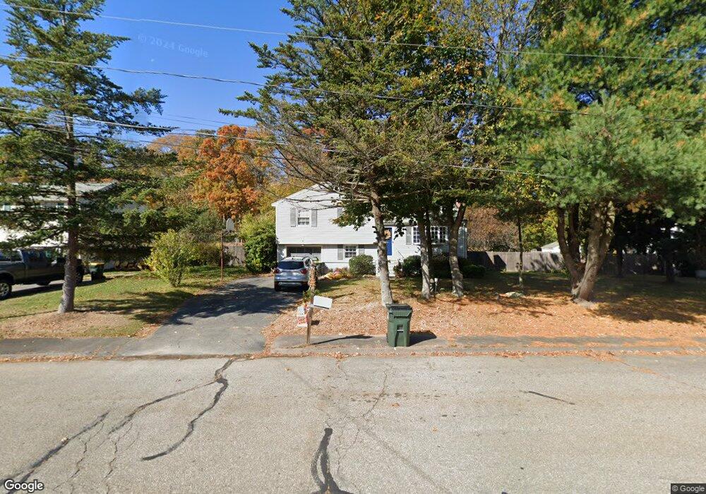
21 Midland Ave Franklin, MA 02038
Estimated Value: $537,268 - $637,000
3
Beds
1
Bath
1,031
Sq Ft
$572/Sq Ft
Est. Value
About This Home
This home is located at 21 Midland Ave, Franklin, MA 02038 and is currently estimated at $589,817, approximately $572 per square foot. 21 Midland Ave is a home located in Norfolk County with nearby schools including Helen Keller Elementary School, Annie Sullivan Middle School, and Franklin High School.
Ownership History
Date
Name
Owned For
Owner Type
Purchase Details
Closed on
Jun 18, 2014
Sold by
Laronde Gregory G and Laronde Elizabeth M
Bought by
Greg&Bess Larounde Ret and Laronde Gregory G
Current Estimated Value
Purchase Details
Closed on
Apr 15, 1988
Sold by
Kushiogian Donald H
Bought by
Laronde Gregory G
Create a Home Valuation Report for This Property
The Home Valuation Report is an in-depth analysis detailing your home's value as well as a comparison with similar homes in the area
Home Values in the Area
Average Home Value in this Area
Purchase History
| Date | Buyer | Sale Price | Title Company |
|---|---|---|---|
| Greg&Bess Larounde Ret | -- | -- | |
| Laronde Gregory G | $157,450 | -- |
Source: Public Records
Mortgage History
| Date | Status | Borrower | Loan Amount |
|---|---|---|---|
| Previous Owner | Laronde Gregory G | $141,000 | |
| Previous Owner | Laronde Gregory G | $72,800 | |
| Previous Owner | Laronde Gregory G | $118,000 |
Source: Public Records
Tax History Compared to Growth
Tax History
| Year | Tax Paid | Tax Assessment Tax Assessment Total Assessment is a certain percentage of the fair market value that is determined by local assessors to be the total taxable value of land and additions on the property. | Land | Improvement |
|---|---|---|---|---|
| 2025 | $6,145 | $528,800 | $326,400 | $202,400 |
| 2024 | $6,147 | $521,400 | $326,400 | $195,000 |
| 2023 | $5,818 | $462,500 | $278,200 | $184,300 |
| 2022 | $5,353 | $381,000 | $219,100 | $161,900 |
| 2021 | $5,419 | $369,900 | $246,000 | $123,900 |
| 2020 | $5,129 | $353,500 | $235,900 | $117,600 |
| 2019 | $5,034 | $343,400 | $225,800 | $117,600 |
| 2018 | $4,728 | $322,700 | $217,700 | $105,000 |
| 2017 | $4,470 | $306,600 | $201,600 | $105,000 |
| 2016 | $4,436 | $305,900 | $216,500 | $89,400 |
| 2015 | $4,356 | $293,500 | $205,700 | $87,800 |
| 2014 | $3,875 | $268,200 | $180,400 | $87,800 |
Source: Public Records
Map
Nearby Homes
- 204 Lincoln St
- 2 Kayla Dr
- 70 Daniels St
- 336 Maple St
- 17 Longhill Rd
- 48 Pinehurst St
- 324 Pleasant St
- 266 Pleasant St
- 37 Daniels St
- 41 Kimberlee Ave
- 33 Daniels St
- 14 Pleasant St Unit A
- 91 Oliver Pond Cir Unit 3
- 83 Oliver Pond Cir Unit 7
- 48 Leanne Way Unit 48
- 24 Shayne Rd Unit 219
- 0 Upper Union St Unit 73230551
- 732 Lincoln St
- 66 Highwood Dr
- 31 Highwood Dr
- 23 Midland Ave
- 19 Midland Ave
- 17 Midland Ave
- 7 Meadow Pkwy
- 20 Midland Ave
- 9 Meadow Pkwy
- 7 Linbrook Ln
- 435 Lincoln St
- 435 Lincoln St Unit 435
- 435 Lincoln St
- 435 Lincoln St Unit 1
- 9 Linbrook Ln
- 5 Meadow Pkwy
- 18 Midland Ave
- 11 Meadow Pkwy
- 15 Midland Ave
- 16 Midland Ave
- 16 Midland Ave Unit 16
- 6 Meadow Pkwy
- 8 Meadow Pkwy