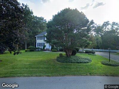
21 Yardley Rd Andover, MA 01810
Ballardvale NeighborhoodEstimated Value: $1,151,000 - $1,713,000
4
Beds
4
Baths
4,271
Sq Ft
$335/Sq Ft
Est. Value
About This Home
This home is located at 21 Yardley Rd, Andover, MA 01810 and is currently estimated at $1,428,806, approximately $334 per square foot. 21 Yardley Rd is a home located in Essex County with nearby schools including South Elementary School, Andover West Middle School, and Andover High School.
Ownership History
Date
Name
Owned For
Owner Type
Purchase Details
Closed on
Mar 1, 2019
Sold by
Belscher Martin J and Belscher Kathleen M
Bought by
Belscher Ft and Belscher
Current Estimated Value
Purchase Details
Closed on
Aug 8, 1996
Sold by
Yvon Cormier Constr
Bought by
Belscher Martin J
Create a Home Valuation Report for This Property
The Home Valuation Report is an in-depth analysis detailing your home's value as well as a comparison with similar homes in the area
Home Values in the Area
Average Home Value in this Area
Purchase History
| Date | Buyer | Sale Price | Title Company |
|---|---|---|---|
| Belscher Ft | -- | -- | |
| Belscher Ft | -- | -- | |
| Belscher Martin J | $374,900 | -- | |
| Belscher Martin J | $374,900 | -- |
Source: Public Records
Mortgage History
| Date | Status | Borrower | Loan Amount |
|---|---|---|---|
| Open | Belscher Ft | $265,000 | |
| Previous Owner | Belscher Martin J | $227,000 | |
| Previous Owner | Belscher Martin J | $100,000 | |
| Previous Owner | Belscher Martin J | $270,000 |
Source: Public Records
Tax History Compared to Growth
Tax History
| Year | Tax Paid | Tax Assessment Tax Assessment Total Assessment is a certain percentage of the fair market value that is determined by local assessors to be the total taxable value of land and additions on the property. | Land | Improvement |
|---|---|---|---|---|
| 2024 | $15,290 | $1,187,100 | $435,800 | $751,300 |
| 2023 | $14,413 | $1,055,100 | $372,600 | $682,500 |
| 2022 | $13,813 | $946,100 | $335,900 | $610,200 |
| 2021 | $13,287 | $869,000 | $305,500 | $563,500 |
| 2020 | $12,907 | $859,900 | $305,500 | $554,400 |
| 2019 | $12,995 | $851,000 | $305,500 | $545,500 |
| 2018 | $12,529 | $801,100 | $296,700 | $504,400 |
| 2017 | $12,047 | $793,600 | $290,700 | $502,900 |
| 2016 | $11,803 | $796,400 | $290,700 | $505,700 |
| 2015 | $11,401 | $761,600 | $290,700 | $470,900 |
Source: Public Records
Map
Nearby Homes
- 72 Tewksbury St
- 60 Lowell Junction Rd
- 76 Dascomb Rd
- 18 Dale St Unit 6G
- 7 Bradley Rd
- 25 Jills Way
- 40 Bradford Rd
- 17 Enfield Dr
- 87 Ballardvale Rd
- 63 Andover St
- 120 Jennies Way
- 19 Blood Rd
- 12 Alonesos Way
- 1 Delisio Dr
- 3 West Hollow
- 19 Kensington Way Unit 54
- 1143 South St
- 70 Spring Grove Rd
- 50 Starr Ave
- 27 Ashwood Ave