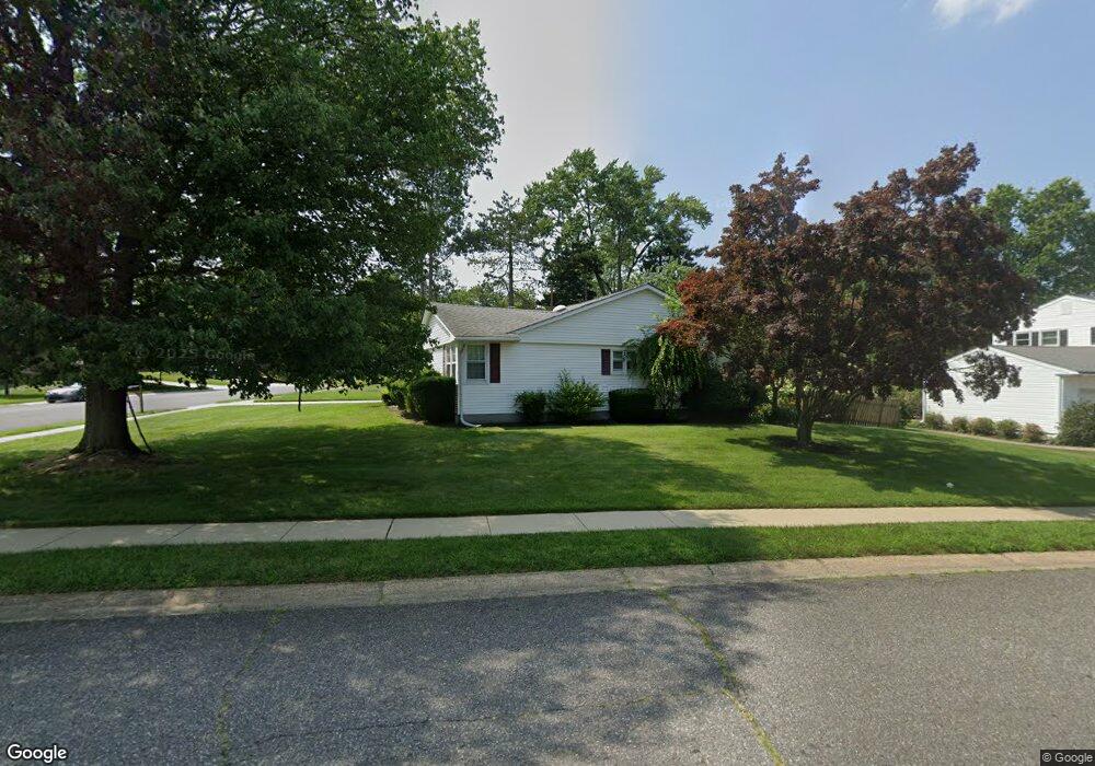
2100 Anson Rd Unit BRANDY Wilmington, DE 19810
Talleyville NeighborhoodEstimated Value: $466,000 - $512,941
3
Beds
2
Baths
1,900
Sq Ft
$255/Sq Ft
Est. Value
About This Home
This home is located at 2100 Anson Rd Unit BRANDY, Wilmington, DE 19810 and is currently estimated at $483,985, approximately $254 per square foot. 2100 Anson Rd Unit BRANDY is a home located in New Castle County with nearby schools including Hanby Elementary School, Springer Middle School, and Concord High School.
Ownership History
Date
Name
Owned For
Owner Type
Purchase Details
Closed on
Nov 8, 2024
Sold by
Revocable Trust Of Sharen A Muldowney and Campanella Karen
Bought by
Newman Valerie J
Current Estimated Value
Purchase Details
Closed on
Aug 29, 2008
Sold by
Zwizanski Deborah A
Bought by
Muldowney Sharen
Home Financials for this Owner
Home Financials are based on the most recent Mortgage that was taken out on this home.
Original Mortgage
$267,200
Interest Rate
6.29%
Mortgage Type
Purchase Money Mortgage
Create a Home Valuation Report for This Property
The Home Valuation Report is an in-depth analysis detailing your home's value as well as a comparison with similar homes in the area
Home Values in the Area
Average Home Value in this Area
Purchase History
| Date | Buyer | Sale Price | Title Company |
|---|---|---|---|
| Newman Valerie J | $474,000 | None Listed On Document | |
| Newman Valerie J | $474,000 | None Listed On Document | |
| Muldowney Sharen | $167,000 | None Available |
Source: Public Records
Mortgage History
| Date | Status | Borrower | Loan Amount |
|---|---|---|---|
| Previous Owner | Muldowney Sharen | $267,200 |
Source: Public Records
Tax History Compared to Growth
Tax History
| Year | Tax Paid | Tax Assessment Tax Assessment Total Assessment is a certain percentage of the fair market value that is determined by local assessors to be the total taxable value of land and additions on the property. | Land | Improvement |
|---|---|---|---|---|
| 2024 | $3,189 | $83,800 | $18,100 | $65,700 |
| 2023 | $2,915 | $83,800 | $18,100 | $65,700 |
| 2022 | $2,964 | $83,800 | $18,100 | $65,700 |
| 2021 | $2,964 | $83,800 | $18,100 | $65,700 |
| 2020 | $2,965 | $83,800 | $18,100 | $65,700 |
| 2019 | $3,025 | $83,800 | $18,100 | $65,700 |
| 2018 | $2,833 | $83,800 | $18,100 | $65,700 |
| 2017 | $2,789 | $83,800 | $18,100 | $65,700 |
| 2016 | $2,788 | $83,800 | $18,100 | $65,700 |
| 2015 | $2,565 | $83,800 | $18,100 | $65,700 |
| 2014 | $2,563 | $83,800 | $18,100 | $65,700 |
Source: Public Records
Map
Nearby Homes
- 2303 Magnolia Dr
- 2103 Brandywood Dr
- 2003 Brandywood Ln
- 2636 Majestic Dr
- 2318 Andys Ln
- 2438 Granby Rd
- 2205 Dorval Rd
- 2520 Channin Dr
- 2525 Wexford Dr
- 2518 Deepwood Dr
- 2636 Longwood Dr
- 32 Sturbridge Dr
- 2605 Cayuga Rd
- 2706 Ebright Rd
- 9 Emsley Dr
- 39 Sturbridge Dr
- 24 Stone Crop Rd
- 1909 Foulk Rd
- 2433 Grubb Rd
- 2431 Grubb Rd
- 2100 Anson Rd
- 2111 Weatherton Dr
- 2102 Anson Rd
- 2104 Anson Rd
- 2110 Weatherton Dr
- 2113 Weatherton Dr
- 2107 Weatherton Dr
- 2112 Weatherton Dr
- 2103 Anson Rd
- 2106 Anson Rd
- 2105 Anson Rd
- 2115 Weatherton Dr
- 2115 Exton Dr
- 2106 Weatherton Dr
- 2114 Weatherton Dr
- 2113 Exton Dr
- 2108 Anson Rd
- 2105 Weatherton Dr
- 2102 Lawrence Dr
- 2109 Anson Rd