2100 Light Rd Unit 204 Oswego, IL 60543
Northwest Oswego NeighborhoodEstimated Value: $156,000 - $177,000
2
Beds
1
Bath
964
Sq Ft
$170/Sq Ft
Est. Value
About This Home
This home is located at 2100 Light Rd Unit 204, Oswego, IL 60543 and is currently estimated at $163,943, approximately $170 per square foot. 2100 Light Rd Unit 204 is a home located in Kendall County with nearby schools including Fox Chase Elementary School, Traughber Junior High School, and Oswego High School.
Ownership History
Date
Name
Owned For
Owner Type
Purchase Details
Closed on
Mar 4, 2020
Sold by
Montoy Diana
Bought by
Montoya Diana and Mario A Montoya Trust
Current Estimated Value
Purchase Details
Closed on
Oct 3, 2006
Sold by
Fulton Allan W and Fulton Mary Fran
Bought by
Montoya Diana
Home Financials for this Owner
Home Financials are based on the most recent Mortgage that was taken out on this home.
Original Mortgage
$95,300
Outstanding Balance
$56,993
Interest Rate
6.5%
Mortgage Type
Purchase Money Mortgage
Estimated Equity
$106,950
Create a Home Valuation Report for This Property
The Home Valuation Report is an in-depth analysis detailing your home's value as well as a comparison with similar homes in the area
Home Values in the Area
Average Home Value in this Area
Purchase History
| Date | Buyer | Sale Price | Title Company |
|---|---|---|---|
| Montoya Diana | -- | Attorney | |
| Montoya Diana | $95,500 | First American Title |
Source: Public Records
Mortgage History
| Date | Status | Borrower | Loan Amount |
|---|---|---|---|
| Open | Montoya Diana | $95,300 |
Source: Public Records
Tax History
| Year | Tax Paid | Tax Assessment Tax Assessment Total Assessment is a certain percentage of the fair market value that is determined by local assessors to be the total taxable value of land and additions on the property. | Land | Improvement |
|---|---|---|---|---|
| 2024 | $2,823 | $41,661 | $2,231 | $39,430 |
| 2023 | $2,055 | $32,047 | $1,716 | $30,331 |
| 2022 | $2,055 | $29,134 | $1,560 | $27,574 |
| 2021 | $2,002 | $27,747 | $1,486 | $26,261 |
| 2020 | $1,923 | $26,680 | $1,429 | $25,251 |
| 2019 | $2,079 | $28,010 | $1,429 | $26,581 |
| 2018 | $966 | $16,333 | $833 | $15,500 |
| 2017 | $914 | $15,054 | $768 | $14,286 |
| 2016 | $787 | $13,685 | $698 | $12,987 |
| 2015 | $655 | $12,094 | $601 | $11,493 |
| 2014 | -- | $11,409 | $567 | $10,842 |
| 2013 | -- | $13,422 | $667 | $12,755 |
Source: Public Records
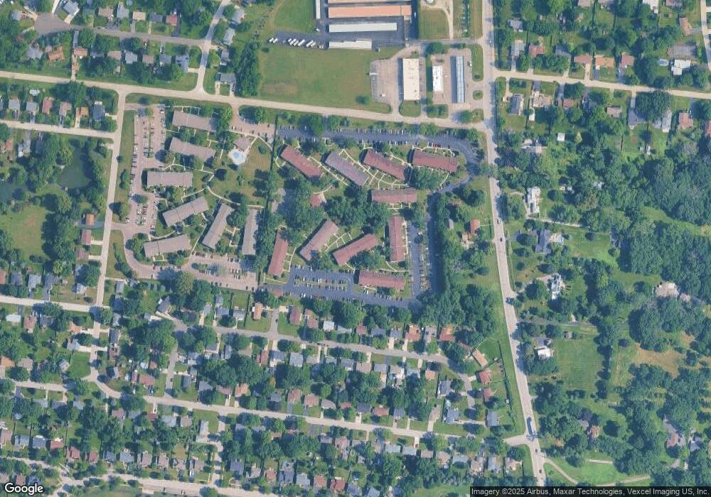
Map
Nearby Homes
- 2300 Light Rd Unit 209
- 2600 Light Rd Unit 207
- 1415 State Route 31
- 115 Harbor Dr
- 7.43 Acres Vacant La State Route 31
- 5.43 B-3 Commercial State Route 31
- 116 River Mist Dr
- 404 Beaver Ct Unit 3
- 133 River Mist Dr Unit 3
- 135 River Mist Dr Unit 2
- 303 Fox Chase Dr N
- 123 Fox Chase Dr S
- 2110 State Route 31
- 9 Cebold Dr
- 435 Fawn Dr
- 2240 State Route 31
- 9 Fieldcrest Dr
- 149 Willowwood Dr N
- 505 Parkland Ct
- 119 Garden Dr
- 2100 Light Rd Unit 209
- 2100 Light Rd Unit 207
- 2100 Light Rd Unit 104
- 2100 Light Rd Unit 110
- 2100 Light Rd Unit 107
- 2100 Light Rd Unit 103
- 2100 Light Rd Unit 102
- 2100 Light Rd Unit 112
- 2100 Light Rd Unit 101
- 2100 Light Rd Unit 108
- 2100 Light Rd Unit 206
- 2100 Light Rd Unit 111
- 2100 Light Rd Unit 106
- 2100 Light Rd Unit 105
- 2100 Light Rd Unit 203
- 2100 Light Rd Unit 208
- 2100 Light Rd Unit 212
- 2100 Light Rd Unit 109
- 2100 Light Rd Unit 201
- 2100 Light Rd Unit 210
Your Personal Tour Guide
Ask me questions while you tour the home.