Estimated Value: $346,614
--
Bed
1
Bath
2,208
Sq Ft
$157/Sq Ft
Est. Value
About This Home
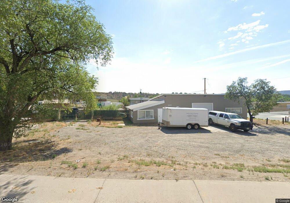
This home is located at 2100 Railroad Ave, Rifle, CO 81650 and is currently estimated at $346,614, approximately $156 per square foot. 2100 Railroad Ave is a home located in Garfield County with nearby schools including Wamsley Elementary School, Rifle Middle School, and Rifle High School.
Ownership History
Date
Name
Owned For
Owner Type
Purchase Details
Closed on
Nov 27, 2017
Sold by
Koutsoubos Ted
Bought by
Pazzin Michael and Pazzin Dalit
Current Estimated Value
Home Financials for this Owner
Home Financials are based on the most recent Mortgage that was taken out on this home.
Original Mortgage
$170,000
Interest Rate
3.88%
Mortgage Type
Purchase Money Mortgage
Purchase Details
Closed on
Apr 20, 1999
Purchase Details
Closed on
Apr 26, 1994
Create a Home Valuation Report for This Property
The Home Valuation Report is an in-depth analysis detailing your home's value as well as a comparison with similar homes in the area
Home Values in the Area
Average Home Value in this Area
Purchase History
| Date | Buyer | Sale Price | Title Company |
|---|---|---|---|
| Pazzin Michael | $218,500 | Land Title Guarantee Co | |
| -- | $143,500 | -- | |
| -- | $55,000 | -- |
Source: Public Records
Mortgage History
| Date | Status | Borrower | Loan Amount |
|---|---|---|---|
| Closed | Pazzin Michael | $170,000 |
Source: Public Records
Tax History Compared to Growth
Tax History
| Year | Tax Paid | Tax Assessment Tax Assessment Total Assessment is a certain percentage of the fair market value that is determined by local assessors to be the total taxable value of land and additions on the property. | Land | Improvement |
|---|---|---|---|---|
| 2024 | $5,421 | $71,100 | $46,700 | $24,400 |
| 2023 | $5,421 | $71,100 | $46,700 | $24,400 |
| 2022 | $4,515 | $63,060 | $32,840 | $30,220 |
| 2021 | $5,041 | $63,060 | $32,840 | $30,220 |
| 2020 | $4,475 | $61,180 | $32,840 | $28,340 |
| 2019 | $4,235 | $61,180 | $32,840 | $28,340 |
| 2018 | $3,010 | $42,510 | $32,840 | $9,670 |
| 2017 | $2,720 | $42,510 | $32,840 | $9,670 |
| 2016 | $2,564 | $45,370 | $35,700 | $9,670 |
| 2015 | $2,367 | $45,370 | $35,700 | $9,670 |
| 2014 | -- | $47,940 | $38,270 | $9,670 |
Source: Public Records
Map
Nearby Homes
- 200 W 20th St Unit A142
- 200 W 20th St Unit E5
- 200 W 20th St Unit A24
- 200 W 20th St Unit E6
- 200 W 20th St Unit A128
- 200 W 20th St Unit A145
- 200 W 20th St Unit A139
- 200 W 20th St Unit E4
- 200 W 20th St Unit D20
- 2409 W 24th Place
- 2203 Ute Ave
- 2501 Meadow Cir Unit 1
- 405 W 26th St
- 211 W 28th Ct
- 1501 Railroad Ave Unit 37
- 420 W 16th St
- 2659 Acacia Ave Unit 2C
- Tbd 14th St
- 1783 Anvil View Ave
- 154 Cowboy Dr
- 2128 Railroad Ave
- TBD Railroad Ave Unit Lots 23 - 31
- TBD Railroad Ave
- 2117 Whiteriver Ave
- 2178 Railroad Ave
- 235 E 21st St
- 2175 Whiteriver Ave
- 2157 Whiteriver Ave
- 2090 Whiteriver Ave
- 385 W 24th St
- 2140 Whiteriver Ave
- 215 W 24th St
- 236 Creek Ct
- 240 Creek Ct
- 200 W 20th St Unit D5
- 200 W 20th St Unit D22
- 200 W 20th St Unit A37
- 200 W 20th St Unit Space A51
- 200 W 20th St Unit A41