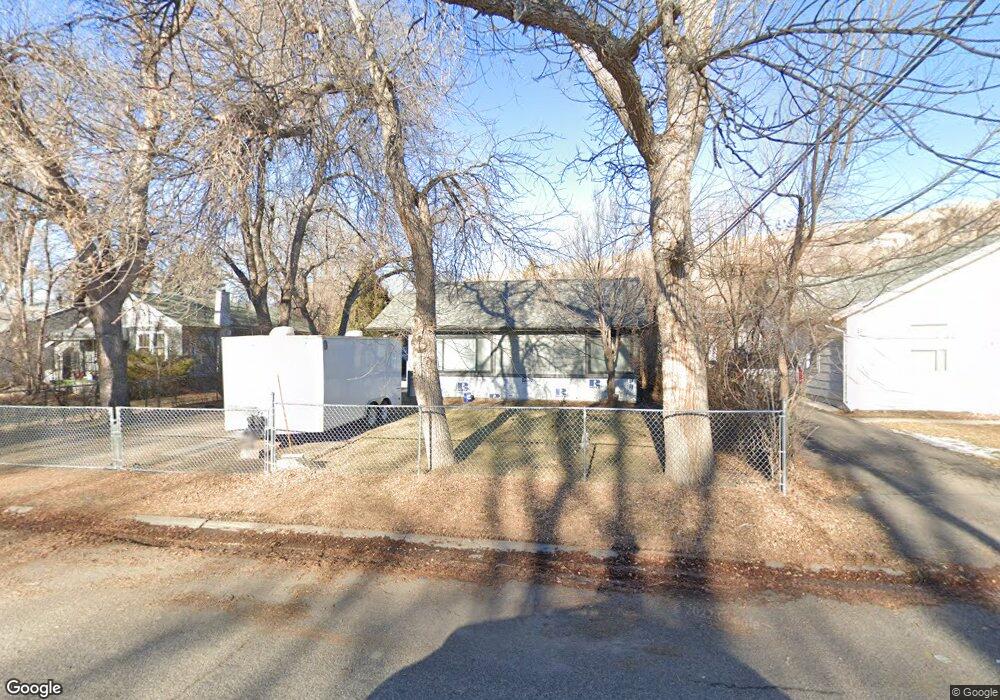
2103 10th Ave N Billings, MT 59101
North Side Billings NeighborhoodEstimated Value: $233,000 - $257,000
2
Beds
1
Bath
860
Sq Ft
$286/Sq Ft
Est. Value
About This Home
This home is located at 2103 10th Ave N, Billings, MT 59101 and is currently estimated at $246,024, approximately $286 per square foot. 2103 10th Ave N is a home located in Yellowstone County with nearby schools including McKinley School, Riverside Junior High School, and Billings Senior High School.
Ownership History
Date
Name
Owned For
Owner Type
Purchase Details
Closed on
Jun 19, 2020
Sold by
Kuhl Zane A
Bought by
Kuhl Virginia F and Kuhl Zane A
Current Estimated Value
Home Financials for this Owner
Home Financials are based on the most recent Mortgage that was taken out on this home.
Original Mortgage
$115,000
Interest Rate
3.2%
Mortgage Type
New Conventional
Create a Home Valuation Report for This Property
The Home Valuation Report is an in-depth analysis detailing your home's value as well as a comparison with similar homes in the area
Home Values in the Area
Average Home Value in this Area
Purchase History
| Date | Buyer | Sale Price | Title Company |
|---|---|---|---|
| Kuhl Virginia F | -- | Stewart Title Company |
Source: Public Records
Mortgage History
| Date | Status | Borrower | Loan Amount |
|---|---|---|---|
| Closed | Kuhl Virginia F | $115,000 |
Source: Public Records
Tax History
| Year | Tax Paid | Tax Assessment Tax Assessment Total Assessment is a certain percentage of the fair market value that is determined by local assessors to be the total taxable value of land and additions on the property. | Land | Improvement |
|---|---|---|---|---|
| 2025 | $2,172 | $264,800 | $43,213 | $221,587 |
| 2024 | $2,172 | $215,100 | $43,466 | $171,634 |
| 2023 | $2,192 | $215,100 | $43,466 | $171,634 |
| 2022 | $1,693 | $179,300 | $0 | $0 |
| 2021 | $1,974 | $179,300 | $0 | $0 |
| 2020 | $1,916 | $168,300 | $0 | $0 |
| 2019 | $1,862 | $168,300 | $0 | $0 |
| 2018 | $1,804 | $159,900 | $0 | $0 |
| 2017 | $1,579 | $141,600 | $0 | $0 |
| 2016 | $1,408 | $126,700 | $0 | $0 |
| 2015 | $1,376 | $126,700 | $0 | $0 |
| 2014 | $1,160 | $55,332 | $0 | $0 |
Source: Public Records
Map
Nearby Homes
- 1819 8th Ave N
- 1121 N 24th St
- 1114 N 24th St
- 715 N 24th St
- 823 N 18th St
- 1701 Vuecrest Dr
- 811 N 25th St
- 718 N 24th St
- 714 N 24th St
- 2214 6th Ave N
- 87 Mountain View Blvd
- TBD Tumbleweed Dr
- 607 26th St W
- 1907 St Peter Ln
- 1933 St Peter Ln
- 1919 St Peter Ln
- 1929 St Peter Ln
- 1925 St Peter Ln
- 1913 St Peter Ln
- 612 N 15th St
- 2105 10th Ave N
- 2101 10th Ave N
- 2109 10th Ave N
- 2019 10th Ave N
- 2121 10th Ave N
- 2104 11th Ave N
- 2108 11th Ave N
- 2104 10th Ave N
- 2102 11th Ave N
- 2110 10th Ave N
- 2112 11th Ave N
- 2030 11th Ave N
- 2032 10th Ave N
- 2120 10th Ave N
- 2017 10th Ave N
- 1001 N 22nd St
- 1009 N 22nd St
- 2024 11th Ave N
- 1015 N 22nd St
- 2112 10th Ave N
Your Personal Tour Guide
Ask me questions while you tour the home.