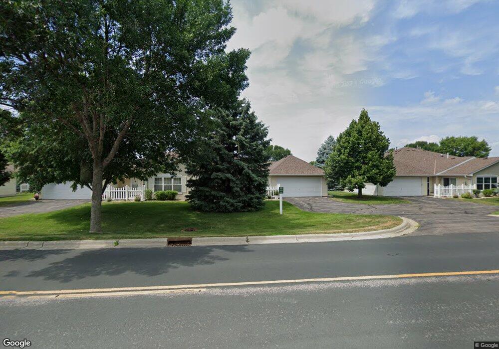
2103 10th Ave W Unit 14 Shakopee, MN 55379
Estimated Value: $269,519 - $282,000
2
Beds
2
Baths
1,344
Sq Ft
$205/Sq Ft
Est. Value
About This Home
This home is located at 2103 10th Ave W Unit 14, Shakopee, MN 55379 and is currently estimated at $275,130, approximately $204 per square foot. 2103 10th Ave W Unit 14 is a home located in Scott County with nearby schools including Sweeney Elementary School, East Middle School, and Shakopee Senior High School.
Ownership History
Date
Name
Owned For
Owner Type
Purchase Details
Closed on
Feb 25, 2022
Sold by
Jo Mckenzie Mary
Bought by
Johnson Susan
Current Estimated Value
Home Financials for this Owner
Home Financials are based on the most recent Mortgage that was taken out on this home.
Original Mortgage
$216,750
Outstanding Balance
$201,982
Interest Rate
3.69%
Mortgage Type
New Conventional
Estimated Equity
$73,148
Purchase Details
Closed on
Jul 15, 2002
Sold by
Cottage Hoestead At Riverplace Llc
Bought by
Mckenzie Mary Jo
Create a Home Valuation Report for This Property
The Home Valuation Report is an in-depth analysis detailing your home's value as well as a comparison with similar homes in the area
Home Values in the Area
Average Home Value in this Area
Purchase History
| Date | Buyer | Sale Price | Title Company |
|---|---|---|---|
| Johnson Susan | $255,000 | Minnesota Title | |
| Mckenzie Mary Jo | $172,085 | -- |
Source: Public Records
Mortgage History
| Date | Status | Borrower | Loan Amount |
|---|---|---|---|
| Open | Johnson Susan | $216,750 |
Source: Public Records
Tax History Compared to Growth
Tax History
| Year | Tax Paid | Tax Assessment Tax Assessment Total Assessment is a certain percentage of the fair market value that is determined by local assessors to be the total taxable value of land and additions on the property. | Land | Improvement |
|---|---|---|---|---|
| 2025 | $2,330 | $252,200 | $72,300 | $179,900 |
| 2024 | $2,856 | $240,700 | $68,800 | $171,900 |
| 2023 | $2,930 | $276,400 | $106,600 | $169,800 |
| 2022 | $2,702 | $279,000 | $109,200 | $169,800 |
| 2021 | $1,982 | $225,800 | $85,500 | $140,300 |
| 2020 | $2,414 | $188,400 | $47,300 | $141,100 |
| 2019 | $2,352 | $199,800 | $50,000 | $149,800 |
| 2018 | $2,242 | $0 | $0 | $0 |
| 2016 | $2,078 | $0 | $0 | $0 |
| 2014 | -- | $0 | $0 | $0 |
Source: Public Records
Map
Nearby Homes
- 2007 10th Ave W Unit 12
- 1813 6th Ave W
- 1187 Jackson St S
- 1226 Polk St S
- 1538 12th Ave W
- 1259 Taylor St Unit 3
- 1279 Taylor St Unit 5
- 2075 13th Ave W
- 1286 Jefferson Ct
- 2224 Quarry Ln
- 1603 3rd Ave W
- 1853 Stone Meadow Blvd
- 2123 Agate Curve
- 816 Regent Dr
- 1121 Scott St S
- 1690 Windigo Ln
- 348 Columbine Ln
- 618 Holmes St S
- 696 Jutland Ave
- 508 Hackney Ave
- 2105 10th Ave W Unit 15
- 2005 10th Ave W Unit 13
- 2003 10th Ave W Unit 16
- 2101 10th Ave W Unit 11
- 2011 10th Ave W Unit 10
- 2011 2011 10th-Avenue-w
- 2107 10th Ave W
- 2107 2107 10th-Avenue-w
- 2009 10th Ave W
- 2009 10th Ave W Unit 9
- 2001 10th Ave W Unit 17
- 2109 10th Ave W Unit 19
- 2109 2109 10th-Avenue-w
- 2111 10th Ave W
- 2111 2111 10th-Avenue-w
- 1913 10th Ave W Unit 7
- 1911 10th Ave W
- 1911 1911 10th-Avenue-w
- 1911 10th Ave W Unit 8
- 1905 10th Ave W