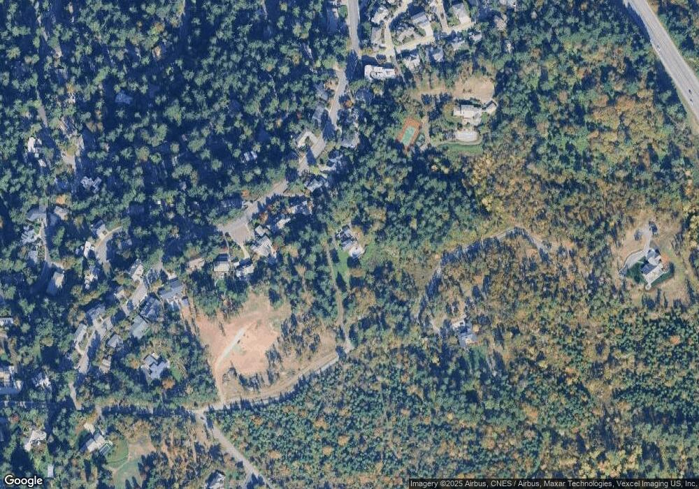
2105 Firland Blvd Eugene, OR 97405
Goshen NeighborhoodEstimated Value: $798,000 - $1,084,000
4
Beds
3
Baths
2,700
Sq Ft
$359/Sq Ft
Est. Value
About This Home
This home is located at 2105 Firland Blvd, Eugene, OR 97405 and is currently estimated at $969,693, approximately $359 per square foot. 2105 Firland Blvd is a home located in Lane County with nearby schools including Camas Ridge Community Elementary School, Roosevelt Middle School, and South Eugene High School.
Ownership History
Date
Name
Owned For
Owner Type
Purchase Details
Closed on
Apr 23, 2013
Sold by
Boettcher Kenneth N
Bought by
Stevens Patrick
Current Estimated Value
Home Financials for this Owner
Home Financials are based on the most recent Mortgage that was taken out on this home.
Original Mortgage
$417,000
Outstanding Balance
$295,064
Interest Rate
3.6%
Mortgage Type
New Conventional
Estimated Equity
$674,629
Create a Home Valuation Report for This Property
The Home Valuation Report is an in-depth analysis detailing your home's value as well as a comparison with similar homes in the area
Home Values in the Area
Average Home Value in this Area
Purchase History
| Date | Buyer | Sale Price | Title Company |
|---|---|---|---|
| Stevens Patrick | $580,000 | Cascade Title Co |
Source: Public Records
Mortgage History
| Date | Status | Borrower | Loan Amount |
|---|---|---|---|
| Open | Stevens Patrick | $417,000 |
Source: Public Records
Tax History Compared to Growth
Tax History
| Year | Tax Paid | Tax Assessment Tax Assessment Total Assessment is a certain percentage of the fair market value that is determined by local assessors to be the total taxable value of land and additions on the property. | Land | Improvement |
|---|---|---|---|---|
| 2025 | $8,109 | $594,699 | -- | -- |
| 2024 | $8,046 | $577,378 | -- | -- |
| 2023 | $8,046 | $560,562 | $0 | $0 |
| 2022 | $6,370 | $544,235 | $0 | $0 |
| 2021 | $5,807 | $528,384 | $0 | $0 |
| 2020 | $5,952 | $512,995 | $0 | $0 |
| 2019 | $5,728 | $498,054 | $0 | $0 |
| 2018 | $5,242 | $469,464 | $0 | $0 |
| 2017 | $4,936 | $469,464 | $0 | $0 |
| 2016 | $4,711 | $455,790 | $0 | $0 |
| 2015 | $4,643 | $442,515 | $0 | $0 |
| 2014 | $4,712 | $429,626 | $0 | $0 |
Source: Public Records
Map
Nearby Homes
- 3574 Spring Blvd
- 3905 Spring Blvd
- 2051 Majestic Place
- 3780 Vine Maple St
- 4080 Spring Blvd
- 3740 Emerald St
- 2855 Spring Blvd
- 1731 Estate Dr
- 3610 University St
- 3790 Onyx St
- 3820 Onyx St
- 1210 E 38th Ave
- 2830 Capital Dr
- 3820 University St
- 0 Wendell Ln Unit 200453475
- 0 Wendell Ln Unit 279865930
- 0 Wendell Ln Unit 1
- 1820 E 28th Ave
- 4899 Elva Ln
- 1755 E 43rd Ave
- 3555 Spring Blvd
- 3543 Spring Blvd
- 3567 Spring Blvd
- 3531 Spring Blvd
- 3573 Spring Blvd
- 3529 Spring Blvd
- 3540 Spring Blvd
- 3552 Spring Blvd
- 3575 Spring Blvd
- 3530 Spring Blvd
- 3517 Spring Blvd
- 3570 Spring Blvd
- 2014 Kimberly Dr
- 3587 Spring Blvd
- 2020 Kimberly Dr
- 2008 Kimberly Dr
- 2026 Kimberly Dr
- 3505 Spring Blvd
- 2032 Kimberly Dr
- 3506 Spring Blvd
