211 Tory St Middletown, DE 19709
Estimated Value: $671,000 - $717,000
4
Beds
3
Baths
3,356
Sq Ft
$207/Sq Ft
Est. Value
About This Home
This home is located at 211 Tory St, Middletown, DE 19709 and is currently estimated at $694,352, approximately $206 per square foot. 211 Tory St is a home located in New Castle County with nearby schools including Bunker Hill Elementary School, Everett Meredith Middle School, and Appoquinimink High School.
Ownership History
Date
Name
Owned For
Owner Type
Purchase Details
Closed on
Jan 26, 2018
Sold by
Nvr Inc
Bought by
Peurifoy Henry A and Peurifoy Crystal A
Current Estimated Value
Home Financials for this Owner
Home Financials are based on the most recent Mortgage that was taken out on this home.
Original Mortgage
$422,630
Outstanding Balance
$355,725
Interest Rate
3.93%
Mortgage Type
VA
Estimated Equity
$338,627
Purchase Details
Closed on
Oct 5, 2017
Sold by
St Annes Development Associates Llc
Bought by
Nvr Inc
Create a Home Valuation Report for This Property
The Home Valuation Report is an in-depth analysis detailing your home's value as well as a comparison with similar homes in the area
Home Values in the Area
Average Home Value in this Area
Purchase History
| Date | Buyer | Sale Price | Title Company |
|---|---|---|---|
| Peurifoy Henry A | -- | None Available | |
| Nvr Inc | -- | None Available |
Source: Public Records
Mortgage History
| Date | Status | Borrower | Loan Amount |
|---|---|---|---|
| Open | Peurifoy Henry A | $422,630 |
Source: Public Records
Tax History
| Year | Tax Paid | Tax Assessment Tax Assessment Total Assessment is a certain percentage of the fair market value that is determined by local assessors to be the total taxable value of land and additions on the property. | Land | Improvement |
|---|---|---|---|---|
| 2024 | $388 | $129,400 | $14,600 | $114,800 |
| 2023 | $388 | $129,400 | $14,600 | $114,800 |
| 2022 | $3,979 | $129,400 | $14,600 | $114,800 |
| 2021 | $3,894 | $129,400 | $14,600 | $114,800 |
| 2020 | $294 | $129,400 | $14,600 | $114,800 |
| 2019 | $3,897 | $129,400 | $14,600 | $114,800 |
| 2018 | $3,363 | $127,600 | $14,600 | $113,000 |
| 2017 | $264 | $10,400 | $10,400 | $0 |
| 2016 | $237 | $10,400 | $10,400 | $0 |
| 2015 | $260 | $10,400 | $10,400 | $0 |
| 2014 | $260 | $10,400 | $10,400 | $0 |
Source: Public Records
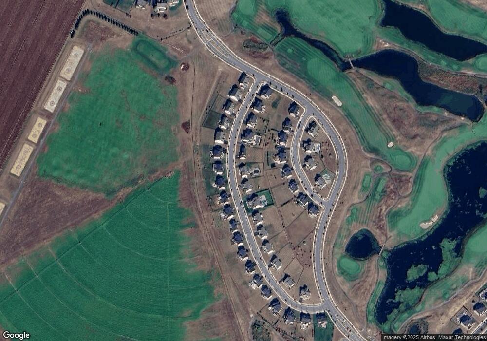
Map
Nearby Homes
- 312 Galloway St
- 205 Clydia Ct
- 29 W Kilts Ln
- 8 Melissa Dr
- 303 Braemar St
- 14 Haggis Rd
- 50 Haggis Rd
- 1404 Flintshire Dr
- 230 Anglesey Dr
- 772 Wallasey Dr
- 712 Wallasey Dr
- 911 Cadman Dr
- 1036 Applecross Dr
- 404 Wiggins Mill Rd
- 3010 Blackston Dr
- 3008 Blackston Dr
- 45 Deep Branch Dr
- 106 Witherspoon Way
- 102 Witherspoon Way
- 104 Witherspoon Way
Your Personal Tour Guide
Ask me questions while you tour the home.