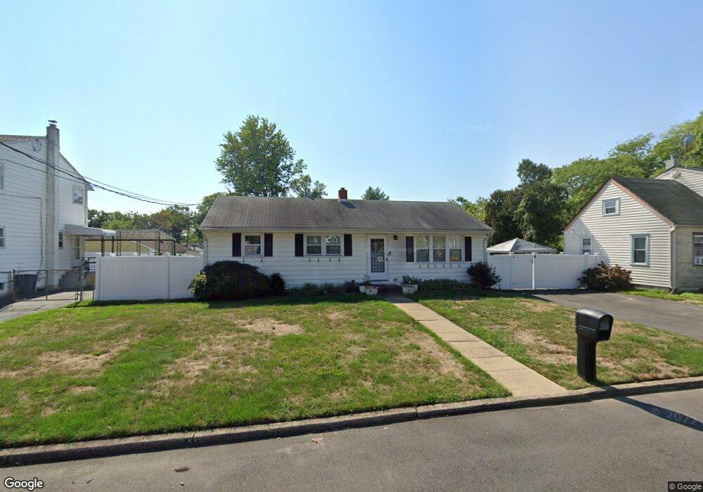
211 Upland Ave Ewing, NJ 08638
Braeburn Heights NeighborhoodEstimated Value: $303,000 - $354,000
Studio
--
Bath
1,008
Sq Ft
$319/Sq Ft
Est. Value
About This Home
This home is located at 211 Upland Ave, Ewing, NJ 08638 and is currently estimated at $321,219, approximately $318 per square foot. 211 Upland Ave is a home located in Mercer County with nearby schools including Ewing High School, Paul Robeson Charter School For The Humanities, and Trenton Stem-To-Civics Charter School.
Ownership History
Date
Name
Owned For
Owner Type
Purchase Details
Closed on
Jul 3, 2007
Sold by
Carroll Thelma H
Bought by
Lyons Jay T
Current Estimated Value
Home Financials for this Owner
Home Financials are based on the most recent Mortgage that was taken out on this home.
Interest Rate
6.67%
Purchase Details
Closed on
Mar 20, 2007
Create a Home Valuation Report for This Property
The Home Valuation Report is an in-depth analysis detailing your home's value as well as a comparison with similar homes in the area
Home Values in the Area
Average Home Value in this Area
Purchase History
| Date | Buyer | Sale Price | Title Company |
|---|---|---|---|
| Lyons Jay T | -- | -- | |
| -- | $201,000 | -- |
Source: Public Records
Mortgage History
| Date | Status | Borrower | Loan Amount |
|---|---|---|---|
| Closed | Lyons Jay T | -- |
Source: Public Records
Tax History
| Year | Tax Paid | Tax Assessment Tax Assessment Total Assessment is a certain percentage of the fair market value that is determined by local assessors to be the total taxable value of land and additions on the property. | Land | Improvement |
|---|---|---|---|---|
| 2025 | $5,687 | $144,600 | $54,000 | $90,600 |
| 2024 | $5,346 | $144,600 | $54,000 | $90,600 |
Source: Public Records
Map
Nearby Homes
- 200 Upland Ave
- 40 Arden Ave
- 120 Sussex St
- 124 Hawthorne Ave
- 140 Crescent Ave
- 16 Bittersweet Rd
- 41 Poland St
- 4 Blossom Dr
- 23 Sundew Dr
- 161 Louisiana Ave
- 24 Keswick Ave
- 7 Mabel St
- 42 Running Brook Rd
- 50 Groveland Ave
- 138 Tulip Ln
- 91 Groveland Ave
- 43 Iowana Ave
- 56 Ridgewood Ave
- 17 Hillman Ave
- 347 Green Ln
- 201 Upland Ave
- 213 Upland Ave
- 204 Somerset St
- 131 Carnine Ave
- 210 Upland Ave
- 200 Somerset St
- 214 Upland Ave
- 191 Upland Ave
- 225 Upland Ave
- 230 Somerset St
- 211 Somerset St
- 194 Upland Ave
- 211 Claflin Ave
- 214 Buttonwood Dr
- 125 Carnine Ave
- 190 Somerset St
- 201 Claflin Ave
- 215 Claflin Ave
- 224 Upland Ave
- 191 Somerset St
Your Personal Tour Guide
Ask me questions while you tour the home.