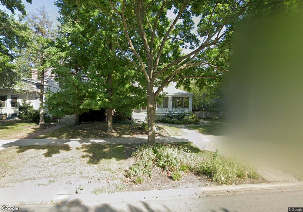
2112 W Lunt Ave Chicago, IL 60645
West Ridge NeighborhoodEstimated Value: $637,000 - $866,000
5
Beds
3
Baths
2,604
Sq Ft
$294/Sq Ft
Est. Value
About This Home
This home is located at 2112 W Lunt Ave, Chicago, IL 60645 and is currently estimated at $764,818, approximately $293 per square foot. 2112 W Lunt Ave is a home located in Cook County with nearby schools including George Armstrong Elementary School, Sullivan High School, and Acero - Sor Juana Ines de la Cruz School.
Ownership History
Date
Name
Owned For
Owner Type
Purchase Details
Closed on
Aug 14, 2020
Sold by
Miller Jeffrey S and Wurtz Rebecca M
Bought by
Miller Jeffrey S and The Jeffrey S Miller Revocable
Current Estimated Value
Purchase Details
Closed on
Jul 31, 1997
Sold by
Campbell Michael A and Campbell Heidi M
Bought by
Miller Jeffrey S and Wurtz Rebecca M
Home Financials for this Owner
Home Financials are based on the most recent Mortgage that was taken out on this home.
Original Mortgage
$211,600
Outstanding Balance
$30,910
Interest Rate
7.25%
Estimated Equity
$733,908
Create a Home Valuation Report for This Property
The Home Valuation Report is an in-depth analysis detailing your home's value as well as a comparison with similar homes in the area
Home Values in the Area
Average Home Value in this Area
Purchase History
| Date | Buyer | Sale Price | Title Company |
|---|---|---|---|
| Miller Jeffrey S | -- | Attorney | |
| Miller Jeffrey S | $176,333 | Chicago Title Insurance Co |
Source: Public Records
Mortgage History
| Date | Status | Borrower | Loan Amount |
|---|---|---|---|
| Open | Miller Jeffrey S | $211,600 |
Source: Public Records
Tax History Compared to Growth
Tax History
| Year | Tax Paid | Tax Assessment Tax Assessment Total Assessment is a certain percentage of the fair market value that is determined by local assessors to be the total taxable value of land and additions on the property. | Land | Improvement |
|---|---|---|---|---|
| 2024 | $9,428 | $63,000 | $19,350 | $43,650 |
| 2023 | $9,169 | $48,000 | $15,480 | $32,520 |
| 2022 | $9,169 | $48,000 | $15,480 | $32,520 |
| 2021 | $8,983 | $48,000 | $15,480 | $32,520 |
| 2020 | $10,231 | $49,030 | $14,620 | $34,410 |
| 2019 | $10,232 | $54,357 | $14,620 | $39,737 |
| 2018 | $10,059 | $54,357 | $14,620 | $39,737 |
| 2017 | $9,345 | $46,784 | $12,900 | $33,884 |
| 2016 | $8,870 | $46,784 | $12,900 | $33,884 |
| 2015 | $8,092 | $46,784 | $12,900 | $33,884 |
| 2014 | $7,073 | $40,691 | $12,040 | $28,651 |
| 2013 | $6,922 | $40,691 | $12,040 | $28,651 |
Source: Public Records
Map
Nearby Homes
- 2101 W Greenleaf Ave
- 6961 N Oakley Ave Unit 210
- 2036 W Morse Ave Unit D
- 2130 W Farwell Ave
- 7070 N Ridge Blvd Unit 1A
- 7019 N Ridge Blvd Unit 3B
- 7019 N Ridge Blvd Unit 3A
- 2245 W Farwell Ave Unit 3B
- 7074 N Ridge Blvd Unit 1E
- 2065 W Farwell Ave Unit 20653N
- 2217 W Farwell Ave Unit 2B
- 6959 N Ridge Blvd Unit 1C
- 2241 W Farwell Ave Unit 2D
- 2300 W Farwell Ave Unit 2
- 2243 W Farwell Ave Unit 3D
- 6827 N Oakley Ave Unit 3C
- 2335 W Greenleaf Ave Unit 310
- 2175 W Touhy Ave
- 1958 W Morse Ave Unit B
- 2322 W Farwell Ave Unit 1W
- 2106 W Lunt Ave
- 2116 W Lunt Ave
- 2104 W Lunt Ave
- 2120 W Lunt Ave
- 2100 W Lunt Ave
- 2124 W Lunt Ave
- 2147 W Lunt Ave Unit GDN
- 2115 W Greenleaf Ave
- 2130 W Lunt Ave
- 2107 W Greenleaf Ave
- 2119 W Greenleaf Ave
- 2111 W Lunt Ave
- 2111 W Lunt Ave
- 2113 W Lunt Ave
- 2113 W Lunt Ave Unit 1
- 2094 W Lunt Ave
- 2123 W Greenleaf Ave
- 2092 W Lunt Ave
- 2096 W Lunt Ave
- 2117 W Lunt Ave Unit 1