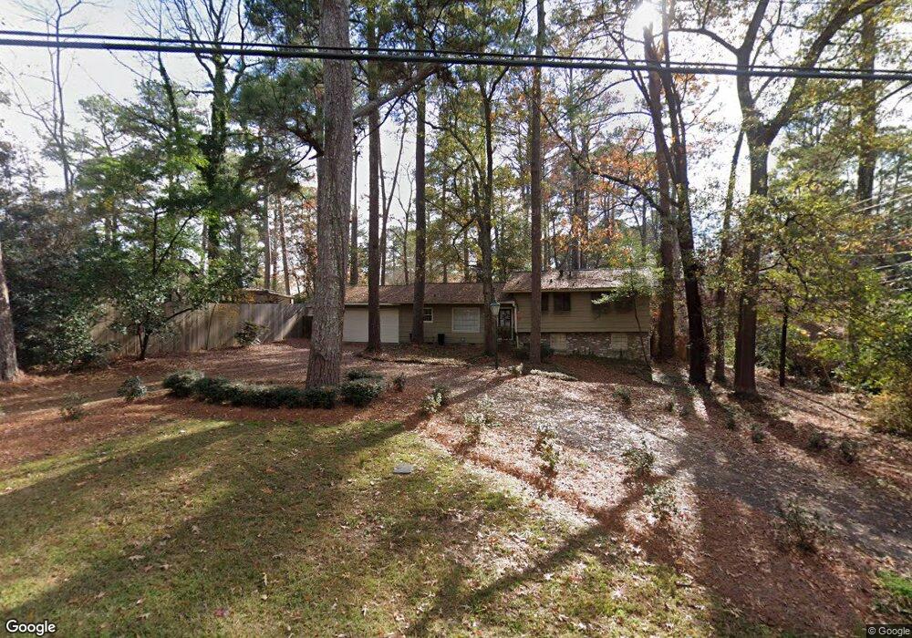
2115 Meadowbrook Rd Jackson, MS 39211
North Jackson NeighborhoodEstimated Value: $268,000 - $285,000
3
Beds
3
Baths
2,176
Sq Ft
$127/Sq Ft
Est. Value
About This Home
This home is located at 2115 Meadowbrook Rd, Jackson, MS 39211 and is currently estimated at $277,052, approximately $127 per square foot. 2115 Meadowbrook Rd is a home located in Hinds County with nearby schools including Casey Elementary School, Murrah High School, and Joel E. Smilow Collegiate.
Ownership History
Date
Name
Owned For
Owner Type
Purchase Details
Closed on
Jun 7, 2019
Sold by
Griffin Adam V and Griffin Molly
Bought by
Mars Sarah E
Current Estimated Value
Home Financials for this Owner
Home Financials are based on the most recent Mortgage that was taken out on this home.
Original Mortgage
$198,000
Interest Rate
4.1%
Mortgage Type
New Conventional
Purchase Details
Closed on
Dec 28, 2009
Sold by
Fisher Harvey L
Bought by
Waits William and Waits Elizabeth
Create a Home Valuation Report for This Property
The Home Valuation Report is an in-depth analysis detailing your home's value as well as a comparison with similar homes in the area
Home Values in the Area
Average Home Value in this Area
Purchase History
| Date | Buyer | Sale Price | Title Company |
|---|---|---|---|
| Mars Sarah E | -- | -- | |
| Waits William | -- | -- | |
| Waits William | -- | -- | |
| Waits William | -- | -- |
Source: Public Records
Mortgage History
| Date | Status | Borrower | Loan Amount |
|---|---|---|---|
| Closed | Mars Sarah E | $198,000 |
Source: Public Records
Tax History
| Year | Tax Paid | Tax Assessment Tax Assessment Total Assessment is a certain percentage of the fair market value that is determined by local assessors to be the total taxable value of land and additions on the property. | Land | Improvement |
|---|---|---|---|---|
| 2025 | $2,796 | $16,109 | $9,980 | $6,129 |
| 2024 | $2,796 | $16,014 | $9,980 | $6,034 |
| 2023 | $2,796 | $16,014 | $9,980 | $6,034 |
| 2022 | $3,082 | $16,014 | $9,980 | $6,034 |
| 2021 | $2,781 | $16,014 | $9,980 | $6,034 |
| 2020 | $2,753 | $15,958 | $9,980 | $5,978 |
| 2019 | $2,755 | $15,958 | $9,980 | $5,978 |
| 2018 | $2,721 | $15,958 | $9,980 | $5,978 |
| 2017 | $2,643 | $15,958 | $9,980 | $5,978 |
| 2016 | $2,643 | $15,958 | $9,980 | $5,978 |
| 2015 | $2,546 | $15,897 | $9,980 | $5,917 |
| 2014 | $2,542 | $15,897 | $9,980 | $5,917 |
Source: Public Records
Map
Nearby Homes
- 2058 Cherokee Dr
- 4142 Woodvale St
- 4233 Brussels Dr
- 4211 N Honeysuckle Ln
- 1951 Aztec Dr
- 4115 Comanche Dr
- 4219 E Ridge Dr
- 2060 London Ave
- 2050 London Ave
- 2017 Southwood Rd
- 2009 Southwood Rd
- 4424 Northover Dr
- 4532 Eastwood Rd Unit 14
- 1816 Douglass Dr
- 2216 Southwood Rd
- 4407 Forest Park Dr
- 4352 Ridgewood Cir
- 2426 Eastover Dr
- 4429 Forest Park Dr
- 1621 Lockwood Ave
- 2107 Meadowbrook Rd
- 4171 Dogwood Dr
- 4163 Dogwood Dr
- 112 Chippewa Cir
- 2108 Meadowbrook Rd
- 2116 Meadowbrook Rd
- 4155 Dogwood Dr
- 2206 Meadowbrook Rd
- 2074 Meadowbrook Rd
- 109 Chippewa Cir
- 4147 Dogwood Dr
- 4174 Dogwood Dr
- 2045 Meadowbrook Rd
- 4156 Dogwood Dr
- 2048 Meadowbrook Rd
- 109 Ashcot Cir
- 4218 E Ridge Dr
- 115 Ashcot Cir
- 4148 Dogwood Dr
- 2046 Meadowbrook Rd
Your Personal Tour Guide
Ask me questions while you tour the home.