2117 Boulder Pointe Shakopee, MN 55379
Estimated Value: $303,060 - $325,000
2
Beds
2
Baths
1,576
Sq Ft
$201/Sq Ft
Est. Value
About This Home
This home is located at 2117 Boulder Pointe, Shakopee, MN 55379 and is currently estimated at $316,265, approximately $200 per square foot. 2117 Boulder Pointe is a home located in Scott County with nearby schools including Sweeney Elementary School, East Middle School, and Shakopee Senior High School.
Ownership History
Date
Name
Owned For
Owner Type
Purchase Details
Closed on
Oct 28, 2009
Sold by
Chi Joon K and Chi Phyllis D
Bought by
Kiehl Robert and Kiehl Linda
Current Estimated Value
Purchase Details
Closed on
Apr 29, 2004
Sold by
Unavailable
Bought by
Chi Joon K and Chi Phyllis D
Create a Home Valuation Report for This Property
The Home Valuation Report is an in-depth analysis detailing your home's value as well as a comparison with similar homes in the area
Home Values in the Area
Average Home Value in this Area
Purchase History
| Date | Buyer | Sale Price | Title Company |
|---|---|---|---|
| Kiehl Robert | $171,800 | -- | |
| Chi Joon K | $210,000 | -- |
Source: Public Records
Tax History
| Year | Tax Paid | Tax Assessment Tax Assessment Total Assessment is a certain percentage of the fair market value that is determined by local assessors to be the total taxable value of land and additions on the property. | Land | Improvement |
|---|---|---|---|---|
| 2025 | $2,868 | $312,100 | $114,200 | $197,900 |
| 2024 | $2,948 | $288,700 | $108,700 | $180,000 |
| 2023 | $3,036 | $284,400 | $106,600 | $177,800 |
| 2022 | $2,662 | $288,000 | $109,200 | $178,800 |
| 2021 | $2,342 | $222,900 | $85,500 | $137,400 |
| 2020 | $2,330 | $217,000 | $78,800 | $138,200 |
| 2019 | $2,316 | $193,900 | $47,200 | $146,700 |
| 2018 | $2,194 | $0 | $0 | $0 |
| 2016 | $2,030 | $0 | $0 | $0 |
| 2014 | -- | $0 | $0 | $0 |
Source: Public Records
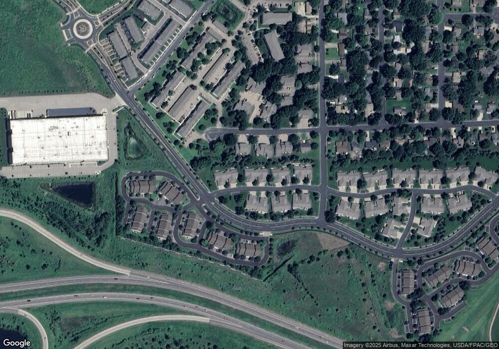
Map
Nearby Homes
- 2075 13th Ave W
- 1279 Taylor St Unit 5
- 1266 Polk St S
- 1195 Van Buren St S
- 1126 Harrison St S
- 1664 Lund Way
- 1586 Norbert Ln
- 1649 Lund Way
- 1663 Lund Way
- 1587 Norbert Ln
- 1585 Norbert Ln
- 1584 Norbert Ln
- 1588 Norbert Ln
- 1652 Lund Way
- 1589 Norbert Ln
- 1016 Van Buren St S
- 1186 Quincy St
- 1813 6th Ave W
- 1647 Zumbro Ave
- 1651 Zumbro Ave
- 2117 Boulder Point
- 2113 Boulder Point
- 2109 Boulder Point
- 2157 Boulder Point
- 2157 Boulder Pointe
- 2105 Boulder Point Unit 402
- 2105 Boulder Point
- 2161 Boulder Point
- 2165 Boulder Point
- 2058 13th Ave W
- 2060 13th Ave W
- 2056 13th Ave W
- 2062 13th Ave W
- 2122 Boulder Point
- 2063 Boulder Point
- 2064 13th Ave W
- 2054 13th Ave W
- 2118 Boulder Point
- 2052 13th Ave W
- 2169 Boulder Point
Your Personal Tour Guide
Ask me questions while you tour the home.