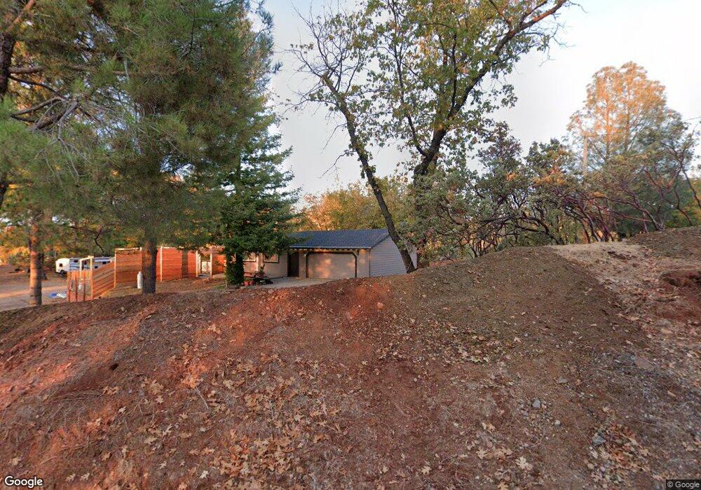
2121 Swansboro Rd Placerville, CA 95667
Estimated Value: $269,000 - $384,000
1
Bed
1
Bath
760
Sq Ft
$441/Sq Ft
Est. Value
About This Home
This home is located at 2121 Swansboro Rd, Placerville, CA 95667 and is currently estimated at $334,996, approximately $440 per square foot. 2121 Swansboro Rd is a home located in El Dorado County with nearby schools including El Dorado High School.
Ownership History
Date
Name
Owned For
Owner Type
Purchase Details
Closed on
Sep 17, 2020
Sold by
Panos Leon J
Bought by
Bayona Alfred
Current Estimated Value
Home Financials for this Owner
Home Financials are based on the most recent Mortgage that was taken out on this home.
Original Mortgage
$170,000
Outstanding Balance
$150,864
Interest Rate
2.9%
Mortgage Type
Seller Take Back
Estimated Equity
$184,132
Purchase Details
Closed on
Aug 3, 1994
Sold by
Matson Mark K and Matson Annalyn
Bought by
Panos Leon J
Create a Home Valuation Report for This Property
The Home Valuation Report is an in-depth analysis detailing your home's value as well as a comparison with similar homes in the area
Home Values in the Area
Average Home Value in this Area
Purchase History
| Date | Buyer | Sale Price | Title Company |
|---|---|---|---|
| Bayona Alfred | $170,000 | First American Title Company | |
| Panos Leon J | -- | First American Title Co |
Source: Public Records
Mortgage History
| Date | Status | Borrower | Loan Amount |
|---|---|---|---|
| Open | Bayona Alfred | $170,000 |
Source: Public Records
Tax History Compared to Growth
Tax History
| Year | Tax Paid | Tax Assessment Tax Assessment Total Assessment is a certain percentage of the fair market value that is determined by local assessors to be the total taxable value of land and additions on the property. | Land | Improvement |
|---|---|---|---|---|
| 2025 | $3,216 | $287,924 | $75,769 | $212,155 |
| 2024 | $3,216 | $282,280 | $74,284 | $207,996 |
| 2023 | $3,181 | $276,746 | $72,828 | $203,918 |
| 2022 | $3,139 | $271,320 | $71,400 | $199,920 |
| 2021 | $3,106 | $266,000 | $70,000 | $196,000 |
| 2020 | $1,511 | $117,307 | $30,699 | $86,608 |
| 2019 | $1,496 | $115,008 | $30,098 | $84,910 |
| 2018 | $1,458 | $112,754 | $29,508 | $83,246 |
| 2017 | $1,420 | $110,544 | $28,930 | $81,614 |
| 2016 | $1,402 | $108,377 | $28,363 | $80,014 |
| 2015 | $1,349 | $106,751 | $27,938 | $78,813 |
| 2014 | $1,349 | $104,662 | $27,392 | $77,270 |
Source: Public Records
Map
Nearby Homes
- 2227 Swansboro Rd
- 1638 Swansboro Rd
- 1610 Swansboro Rd
- 2639 Gold Ct
- 9030 Orval Beckett Ct
- 6570 Mosquito Rd
- 2721 Dyer Way
- 2629 Shilo Dr
- 3000 Gravel Ct
- 10180 Rock Creek Rd
- 6281 Bear Creek Rd
- 3233 Running Quail Ct
- 3553 Lupine Ln
- 3192 Buckeye Ct
- 7161 Kona Dr
- 3814 Stope Dr
- 6324 Dickinson Rd
- 3191 Pine Cone Ct
- 3196 Pine Cone Ct
- 6060 Keeble Ln
- 2130 Swansboro Rd
- 2157 Swansboro Rd
- 2120 Rex Ct
- 2000 Swansboro Rd
- 2211 Swansboro Rd
- 2212 Swansboro Rd
- 2021 Swansboro Rd
- 2001 Swansboro Rd
- 2160 Swansboro Rd
- 1640 Swansboro Rd
- 1636 Swansboro Rd
- 2251 Swansboro Rd
- 1771 Swansboro Rd
- 9 Swansboro Rd
- 1637 Swansboro Rd
- 2263 Swansboro Rd
- 2268 Swansboro Rd
- 2273 Swansboro Rd
- 2238 Claim St
- 6541 Claim St