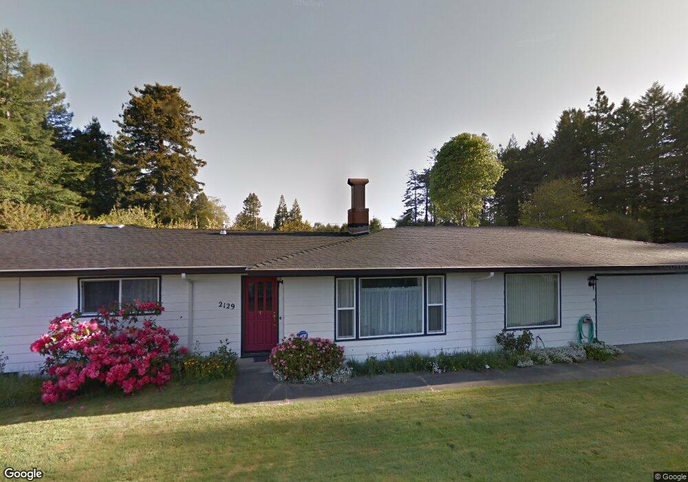
2129 Hurst Rd Eureka, CA 95503
Pine Hills NeighborhoodEstimated Value: $306,000 - $536,000
4
Beds
2
Baths
1,789
Sq Ft
$229/Sq Ft
Est. Value
About This Home
This home is located at 2129 Hurst Rd, Eureka, CA 95503 and is currently estimated at $409,439, approximately $228 per square foot. 2129 Hurst Rd is a home located in Humboldt County with nearby schools including Ridgewood Elementary School, Cutten Elementary School, and Northern United - Humboldt Charter School.
Ownership History
Date
Name
Owned For
Owner Type
Purchase Details
Closed on
Jan 19, 2006
Sold by
Rhead Dean J and Rhead Maria Fernanda
Bought by
Rhead Dean J and Rhead Maria Fernanda
Current Estimated Value
Home Financials for this Owner
Home Financials are based on the most recent Mortgage that was taken out on this home.
Original Mortgage
$265,000
Interest Rate
1.25%
Mortgage Type
Fannie Mae Freddie Mac
Create a Home Valuation Report for This Property
The Home Valuation Report is an in-depth analysis detailing your home's value as well as a comparison with similar homes in the area
Home Values in the Area
Average Home Value in this Area
Purchase History
| Date | Buyer | Sale Price | Title Company |
|---|---|---|---|
| Rhead Dean J | -- | Alliance Title Company |
Source: Public Records
Mortgage History
| Date | Status | Borrower | Loan Amount |
|---|---|---|---|
| Closed | Rhead Dean J | $265,000 |
Source: Public Records
Tax History
| Year | Tax Paid | Tax Assessment Tax Assessment Total Assessment is a certain percentage of the fair market value that is determined by local assessors to be the total taxable value of land and additions on the property. | Land | Improvement |
|---|---|---|---|---|
| 2025 | $2,042 | $192,619 | $78,930 | $113,689 |
| 2024 | $2,042 | $188,843 | $77,383 | $111,460 |
| 2023 | $1,967 | $185,141 | $75,866 | $109,275 |
| 2022 | $2,054 | $181,512 | $74,379 | $107,133 |
| 2021 | $1,910 | $177,954 | $72,921 | $105,033 |
| 2020 | $1,875 | $176,131 | $72,174 | $103,957 |
| 2019 | $1,863 | $172,678 | $70,759 | $101,919 |
| 2018 | $1,784 | $169,293 | $69,372 | $99,921 |
| 2017 | $1,773 | $165,974 | $68,012 | $97,962 |
| 2016 | $1,774 | $162,721 | $66,679 | $96,042 |
| 2015 | $1,757 | $160,278 | $65,678 | $94,600 |
| 2014 | $1,642 | $157,139 | $64,392 | $92,747 |
Source: Public Records
Map
Nearby Homes
- 5200 Blackberry Ln
- 2160 Covey Ct
- 5686 Christine Dr
- 2121 Serenity Ln
- 6147 Walnut Dr
- 2086/2088 Groth Ct
- 1956 Gage Ln
- 1941 Ridgewood Dr
- 4483 Excelsior Rd
- 1185 Ridgewood Dr
- 4286 Walnut Dr
- 2005 Foxwood Dr
- 1651 Rachel Ln
- 1220 Vista Dr
- 1599 Fern Dr
- 0 Brogan Way Unit SR25066460
- 0 Brogan Way Unit 270075
- 3979 Cedar St
- 2021 Mckeown Ln
- 4150 E St
- 2128 Hurst Rd
- 2105 Hurst Rd
- 5362 Northridge Rd
- 5372 Northridge Rd
- 2112 Hurst Rd
- 2101 Hurst Rd
- 2104 Hurst Rd
- 40 Eiger Ln
- 2116 Hurst Rd
- 2096 Hurst Rd
- 5314 Northridge Rd
- 5345 Walnut Dr
- 5428 Northridge Rd
- 5302 Northridge Rd
- 60 Eiger Ln
- 5294 Northridge Rd
- 5348 Walnut Dr
- 2048 Hurst Rd
- 5444 Northridge Rd
- 5387 Walnut Dr
Your Personal Tour Guide
Ask me questions while you tour the home.