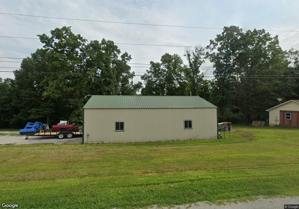
213 Cedar St West Plains, MO 65775
Estimated Value: $176,000 - $265,118
4
Beds
6
Baths
1,676
Sq Ft
$134/Sq Ft
Est. Value
About This Home
This home is located at 213 Cedar St, West Plains, MO 65775 and is currently estimated at $224,780, approximately $134 per square foot. 213 Cedar St is a home located in Howell County with nearby schools including Faith Assembly Christian School.
Ownership History
Date
Name
Owned For
Owner Type
Purchase Details
Closed on
Jun 1, 2011
Sold by
Dykes David R
Bought by
Bowen Richard E
Current Estimated Value
Home Financials for this Owner
Home Financials are based on the most recent Mortgage that was taken out on this home.
Original Mortgage
$50,000
Outstanding Balance
$38,030
Interest Rate
7%
Mortgage Type
Purchase Money Mortgage
Estimated Equity
$186,750
Purchase Details
Closed on
Nov 24, 2009
Sold by
Groom Thomas and Groom Leonia L
Bought by
Bowen Richard E
Purchase Details
Closed on
Dec 3, 2003
Sold by
Saba George and Saba Inam
Bought by
Bowen Richard Edward
Home Financials for this Owner
Home Financials are based on the most recent Mortgage that was taken out on this home.
Original Mortgage
$20,480
Interest Rate
6.25%
Mortgage Type
New Conventional
Create a Home Valuation Report for This Property
The Home Valuation Report is an in-depth analysis detailing your home's value as well as a comparison with similar homes in the area
Home Values in the Area
Average Home Value in this Area
Purchase History
| Date | Buyer | Sale Price | Title Company |
|---|---|---|---|
| Bowen Richard E | -- | None Available | |
| Bowen Richard E | -- | None Available | |
| Bowen Richard Edward | -- | None Available |
Source: Public Records
Mortgage History
| Date | Status | Borrower | Loan Amount |
|---|---|---|---|
| Open | Bowen Richard E | $50,000 | |
| Previous Owner | Bowen Richard Edward | $20,480 |
Source: Public Records
Tax History
| Year | Tax Paid | Tax Assessment Tax Assessment Total Assessment is a certain percentage of the fair market value that is determined by local assessors to be the total taxable value of land and additions on the property. | Land | Improvement |
|---|---|---|---|---|
| 2025 | $282 | $9,360 | $3,710 | $5,650 |
| 2024 | $282 | $8,360 | -- | -- |
| 2023 | $282 | $8,360 | $0 | $0 |
| 2022 | $275 | $8,160 | $0 | $0 |
| 2020 | $276 | $8,160 | $0 | $0 |
| 2019 | $292 | $8,160 | $0 | $0 |
| 2018 | $272 | $7,590 | $0 | $0 |
Source: Public Records
Map
Nearby Homes
- 373 Private Road 2016
- 000 U S 63
- 3440 U S 63
- 343 Private Road 2018
- 000 Porter Wagoner Blvd
- 2291 County Road 2010
- 2355 Mcfarland Dr
- 000 Lee Anna Dr
- 1820 Wayhaven Dr
- 000 Old Airport Rd
- 000 Freedom & Goodhard
- 1909 Kelly Ave
- 2823 Laurie Ave
- 2702 Paula Dr
- 1621 Sunset Terrace
- 000 Deatherage Ave
- 1612 Luna Dr
- 000 County Road 2010
- 1604 Amy St
- 1605 Jon St
- 0 Cedar St Unit 10821110
- 0 Cedar St Unit 10821138
- 209 Cedar St
- 2007 Kenny Ave
- 2184 County Road 1770
- 210 Cedar St
- 208 Private Road 1782
- 8455 Private Road 6853
- 2012 Kenny Ave
- 227 Cedar St
- 2019 Kenny Ave
- 209 Michael St
- 226 Cedar St
- 225 Michael St
- 0 Michael St Unit 10821139
- tbd Pr 1778
- 233 Cedar St
- 229 Michael St
- 214 Michael St
- 236 Cedar St
Your Personal Tour Guide
Ask me questions while you tour the home.