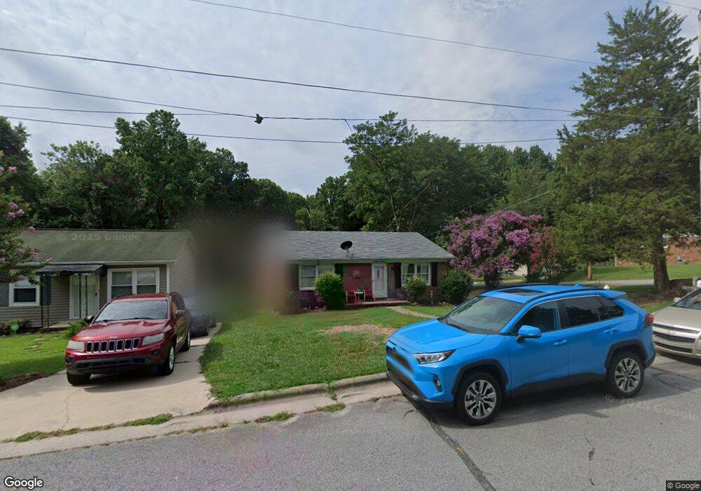
213 Elmhurst Ave High Point, NC 27262
Greater High Point NeighborhoodEstimated Value: $158,719 - $210,000
2
Beds
2
Baths
1,085
Sq Ft
$171/Sq Ft
Est. Value
About This Home
This home is located at 213 Elmhurst Ave, High Point, NC 27262 and is currently estimated at $185,930, approximately $171 per square foot. 213 Elmhurst Ave is a home located in Guilford County with nearby schools including Oak View Elementary School, Ferndale Middle School, and High Point Central High School.
Ownership History
Date
Name
Owned For
Owner Type
Purchase Details
Closed on
Sep 6, 2013
Sold by
Riggs Jeffrey Alan
Bought by
Martin Amy and Riggs Amy Martin
Current Estimated Value
Purchase Details
Closed on
Apr 30, 1993
Bought by
Riggs Jeffrey Alan
Create a Home Valuation Report for This Property
The Home Valuation Report is an in-depth analysis detailing your home's value as well as a comparison with similar homes in the area
Home Values in the Area
Average Home Value in this Area
Purchase History
| Date | Buyer | Sale Price | Title Company |
|---|---|---|---|
| Martin Amy | -- | None Available | |
| Riggs Jeffrey Alan | $56,000 | -- |
Source: Public Records
Tax History
| Year | Tax Paid | Tax Assessment Tax Assessment Total Assessment is a certain percentage of the fair market value that is determined by local assessors to be the total taxable value of land and additions on the property. | Land | Improvement |
|---|---|---|---|---|
| 2025 | $1,203 | $87,300 | $15,000 | $72,300 |
| 2024 | $1,203 | $87,300 | $15,000 | $72,300 |
| 2023 | $1,203 | $87,300 | $15,000 | $72,300 |
| 2022 | $1,177 | $87,300 | $15,000 | $72,300 |
| 2021 | $1,108 | $80,400 | $15,000 | $65,400 |
| 2020 | $1,108 | $80,400 | $15,000 | $65,400 |
| 2019 | $1,108 | $80,400 | $0 | $0 |
| 2018 | $1,102 | $80,400 | $0 | $0 |
| 2017 | $1,108 | $80,400 | $0 | $0 |
| 2016 | $1,081 | $77,100 | $0 | $0 |
| 2015 | $1,087 | $77,100 | $0 | $0 |
| 2014 | $1,106 | $77,100 | $0 | $0 |
Source: Public Records
Map
Nearby Homes
- 416 Greenwood Dr
- 914 Flicker Ln
- 1001 Nuthatch Ct
- 506 Greenwood Dr
- 709 Overbrook Dr
- 1508 Wendover Dr
- 708 Rockspring Rd
- 101 Oxford Place Unit 19
- 629 Rockspring Rd
- 607 Rockspring Rd
- 619 W Lexington Ave
- 1700 Long St
- 443 W Lexington Ave
- 219 Rockspring Rd
- 204 Northpoint Ave Unit C
- 1311 Prescott Place
- 224 Northpoint Ave Unit E
- 417 Hillcrest Dr
- 207 Northpoint Ave Unit H
- 118 Welch Dr
- 211 Elmhurst Ave
- 209 Elmhurst Ave
- 1908 Whitehall St
- 301 Elmhurst Ave
- 1910 Whitehall St
- 207 Elmhurst Ave
- 205 Elmhurst Ave
- 212 Elmhurst Ave
- 210 Elmhurst Ave
- 300 Elmhurst Ave
- 203 Elmhurst Ave
- 208 Elmhurst Ave
- 302 Elmhurst Ave
- 309 Elmhurst Ave
- 1912 Waldo St
- 201 Elmhurst Ave
- 2007 Whitehall St
- 310 Elmhurst Ave
- 1910 Waldo St
- 204 Elmhurst Ave
Your Personal Tour Guide
Ask me questions while you tour the home.