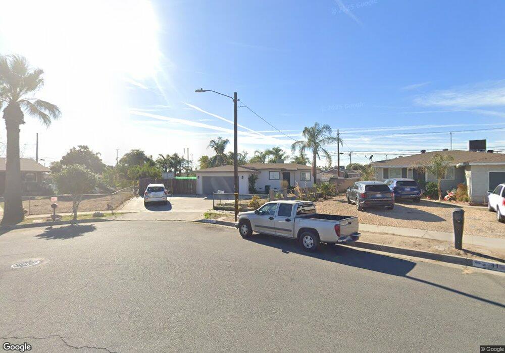
2131 N Monroe St Colton, CA 92324
Estimated Value: $435,000 - $501,000
3
Beds
1
Bath
1,100
Sq Ft
$421/Sq Ft
Est. Value
About This Home
This home is located at 2131 N Monroe St, Colton, CA 92324 and is currently estimated at $462,695, approximately $420 per square foot. 2131 N Monroe St is a home located in San Bernardino County with nearby schools including William Mckinley Elementary School, Colton Middle School, and Colton High School.
Ownership History
Date
Name
Owned For
Owner Type
Purchase Details
Closed on
Mar 1, 2010
Sold by
Chavez Ramos Maria R and Chavez Maria Rosa
Bought by
Chavez Ramos Maria R and Ramos Ramiro E
Current Estimated Value
Home Financials for this Owner
Home Financials are based on the most recent Mortgage that was taken out on this home.
Original Mortgage
$71,250
Interest Rate
4.97%
Mortgage Type
New Conventional
Purchase Details
Closed on
Mar 12, 2002
Sold by
Chavez Maria Rosa and Estate Of Rose T Chavez
Bought by
Chavez Maria Rosa
Create a Home Valuation Report for This Property
The Home Valuation Report is an in-depth analysis detailing your home's value as well as a comparison with similar homes in the area
Home Values in the Area
Average Home Value in this Area
Purchase History
| Date | Buyer | Sale Price | Title Company |
|---|---|---|---|
| Chavez Ramos Maria R | -- | Fidelity | |
| Chavez Maria Rosa | -- | -- | |
| Chavez Maria Rosa | -- | -- |
Source: Public Records
Mortgage History
| Date | Status | Borrower | Loan Amount |
|---|---|---|---|
| Closed | Chavez Ramos Maria R | $71,250 |
Source: Public Records
Tax History Compared to Growth
Tax History
| Year | Tax Paid | Tax Assessment Tax Assessment Total Assessment is a certain percentage of the fair market value that is determined by local assessors to be the total taxable value of land and additions on the property. | Land | Improvement |
|---|---|---|---|---|
| 2025 | $1,088 | $89,481 | $13,586 | $75,895 |
| 2024 | $1,088 | $87,727 | $13,320 | $74,407 |
| 2023 | $1,091 | $86,007 | $13,059 | $72,948 |
| 2022 | $1,076 | $84,321 | $12,803 | $71,518 |
| 2021 | $1,098 | $82,668 | $12,552 | $70,116 |
| 2020 | $1,102 | $81,820 | $12,423 | $69,397 |
| 2019 | $1,073 | $80,215 | $12,179 | $68,036 |
| 2018 | $1,056 | $78,642 | $11,940 | $66,702 |
| 2017 | $1,020 | $77,100 | $11,706 | $65,394 |
| 2016 | $1,045 | $75,588 | $11,476 | $64,112 |
| 2015 | $1,013 | $74,453 | $11,304 | $63,149 |
| 2014 | $978 | $72,995 | $11,083 | $61,912 |
Source: Public Records
Map
Nearby Homes
- 472 Mill St
- 371 W Mill St
- 548 Julie St
- 583 Gray St
- 660 Avenida Capistrano
- 1813 Michigan St
- 201 S Pennsylvania Ave
- 201 S Pennsylvania Ave Unit 1
- 323 Whipple Mountain Rd
- 1948 Hunter Rd
- 1736 Pennsylvania Ave
- 1844 Alston Ave
- 813 Johnston St
- 1705 Jeryl Ave
- 2250 W Mill St Unit 53
- 2250 W Mill St Unit 5
- 2075 W Rialto Ave
- 2250 W Mill #70 St
- 151 S Muscott St
- 1953 N 8th St
- 2131 Monroe St
- 440 Fur St
- 2141 Monroe St
- 2132 Pennsylvania Ave
- 2124 Pennsylvania Ave
- 2140 Pennsylvania Ave
- 2151 Monroe St
- 430 Fur St
- 485 Mill St
- 2148 Pennsylvania Ave
- 471 Mill St
- 497 Mill St
- 461 Mill St
- 2161 Monroe St
- 2154 Pennsylvania Ave
- 2108 Pennsylvania Ave
- 420 Fur St
- 2140 Monroe St
- 449 Mill St
- 2162 Pennsylvania Ave