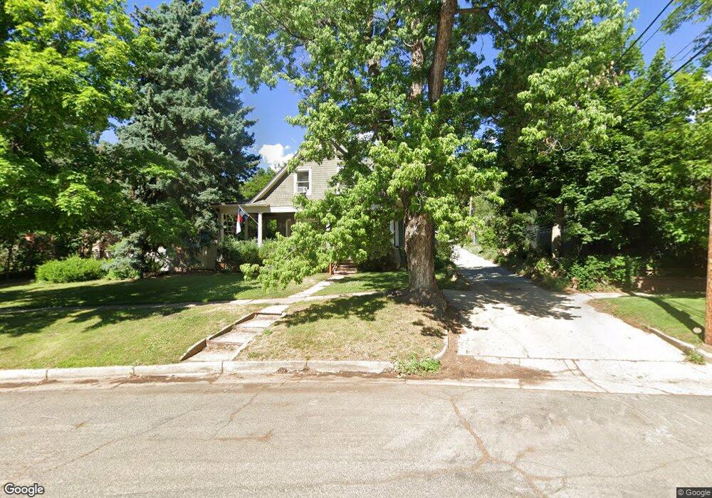
2133 6th St Boulder, CO 80302
Mapleton Hill NeighborhoodEstimated Value: $2,965,090 - $3,625,000
About This Home
This home is located at 2133 6th St, Boulder, CO 80302 and is currently estimated at $3,274,273, approximately $988 per square foot. 2133 6th St is a home located in Boulder County with nearby schools including Whittier Elementary School, Casey Middle School, and Boulder High School.
Ownership History
We collect this data history from publicly available records. To have your information removed, we recommend requesting removal directly through your county’s website.
Purchase Details
Purchase Details
Purchase Details
Purchase Details
Home Values in the Area
Average Home Value in this Area
Purchase History
We collect this data history from publicly available records. To have your information removed, we recommend requesting removal directly through your county’s website.
| Date | Buyer | Sale Price | Title Company |
|---|---|---|---|
| $1,500,000 | Land Title Guarantee Company | ||
| -- | -- | ||
| $187,500 | -- | ||
| -- | -- | ||
| -- | -- |
Tax History
We collect this data history from publicly available records. To have your information removed, we recommend requesting removal directly through your county’s website.
| Year | Tax Paid | Tax Assessment Tax Assessment Total Assessment is a certain percentage of the fair market value that is determined by local assessors to be the total taxable value of land and additions on the property. | Land | Improvement |
|---|---|---|---|---|
| 2026 | $17,730 | $201,389 | $141,746 | $59,643 |
| 2025 | $17,730 | $201,389 | $141,746 | $59,643 |
| 2024 | $17,466 | $185,100 | $130,281 | $54,819 |
| 2023 | $17,161 | $197,844 | $133,551 | $67,978 |
| 2022 | $15,274 | $163,666 | $100,782 | $62,884 |
| 2021 | $14,568 | $168,375 | $103,682 | $64,693 |
| 2020 | $13,071 | $150,165 | $96,025 | $54,140 |
| 2019 | $12,871 | $150,165 | $96,025 | $54,140 |
| 2018 | $11,711 | $135,079 | $86,904 | $48,175 |
| 2017 | $11,345 | $149,337 | $96,077 | $53,260 |
| 2016 | $8,677 | $100,240 | $76,177 | $24,063 |
| 2015 | $8,217 | $103,878 | $57,710 | $46,168 |
| 2014 | $8,734 | $103,878 | $57,710 | $46,168 |
Map
- 616 Pine St
- 553 Pearl St
- 545 Pearl St
- 625 Pearl St Unit 23
- 613 Pine St
- 505 Pine St
- 604 Mapleton Ave
- 320 Pearl St
- 299 Spruce Ct
- 2237 4th St
- 820 Pearl St
- 934 Spruce St
- 541 Arapahoe Ave
- 497 Arapahoe Ave
- 610 Streamside Ln
- 379 W Arapahoe Ln
- 826 Maxwell Ave
- 715 Arapahoe Ave Unit 2
- 1034 Spruce St
- 2125 11th St Unit 2
- 541 Spruce St
- 531 Spruce St
- 521 Mountain View Rd
- 603 Spruce St
- 511 Mountain View Rd
- 2126 6th St
- 550 Spruce St
- 580 Spruce St
- 505 Mountain View Rd
- 2080 5th St Unit 2090
- 2136 6th St
- 520 Spruce St
- 590 Pine St
- 2132 5th St
- 600 Spruce St
- 602 Spruce St
- 522 Pine St
- 602 Pine St
- 2060 5th St Unit 2070
- 608 Spruce St
Ask me questions while you tour the home.