2134 Manhattan Blvd Unit C9 Springfield, OH 45504
Cedar Hills/Broadview NeighborhoodEstimated Value: $157,174 - $175,000
2
Beds
2
Baths
1,179
Sq Ft
$141/Sq Ft
Est. Value
About This Home
This home is located at 2134 Manhattan Blvd Unit C9, Springfield, OH 45504 and is currently estimated at $166,544, approximately $141 per square foot. 2134 Manhattan Blvd Unit C9 is a home located in Clark County with nearby schools including Northwestern Elementary School, Northwestern Junior/Senior High School, and Ridgewood School.
Ownership History
Date
Name
Owned For
Owner Type
Purchase Details
Closed on
Mar 20, 2014
Sold by
Deyo Nathan R
Bought by
Schulthies Ernest J and Schulthies Gail B
Current Estimated Value
Purchase Details
Closed on
Aug 7, 2007
Sold by
Lawson Lorri B
Bought by
Deyo Nathan R
Home Financials for this Owner
Home Financials are based on the most recent Mortgage that was taken out on this home.
Original Mortgage
$72,800
Interest Rate
6.69%
Mortgage Type
Purchase Money Mortgage
Create a Home Valuation Report for This Property
The Home Valuation Report is an in-depth analysis detailing your home's value as well as a comparison with similar homes in the area
Home Values in the Area
Average Home Value in this Area
Purchase History
| Date | Buyer | Sale Price | Title Company |
|---|---|---|---|
| Schulthies Ernest J | $80,000 | Attorney | |
| Deyo Nathan R | $91,000 | Midland Title West |
Source: Public Records
Mortgage History
| Date | Status | Borrower | Loan Amount |
|---|---|---|---|
| Previous Owner | Deyo Nathan R | $72,800 |
Source: Public Records
Tax History
| Year | Tax Paid | Tax Assessment Tax Assessment Total Assessment is a certain percentage of the fair market value that is determined by local assessors to be the total taxable value of land and additions on the property. | Land | Improvement |
|---|---|---|---|---|
| 2025 | $1,095 | $50,960 | $6,130 | $44,830 |
| 2024 | $1,069 | $32,580 | $5,560 | $27,020 |
| 2023 | $1,069 | $32,580 | $5,560 | $27,020 |
| 2022 | $1,057 | $32,580 | $5,560 | $27,020 |
| 2021 | $1,075 | $29,070 | $4,380 | $24,690 |
| 2020 | $1,086 | $29,070 | $4,380 | $24,690 |
| 2019 | $1,076 | $29,070 | $4,380 | $24,690 |
| 2018 | $814 | $23,890 | $4,990 | $18,900 |
| 2017 | $814 | $27,080 | $4,988 | $22,092 |
| 2016 | $798 | $27,080 | $4,988 | $22,092 |
| 2015 | $819 | $26,331 | $5,250 | $21,081 |
| 2014 | $1,279 | $26,331 | $5,250 | $21,081 |
| 2013 | $1,307 | $26,331 | $5,250 | $21,081 |
Source: Public Records
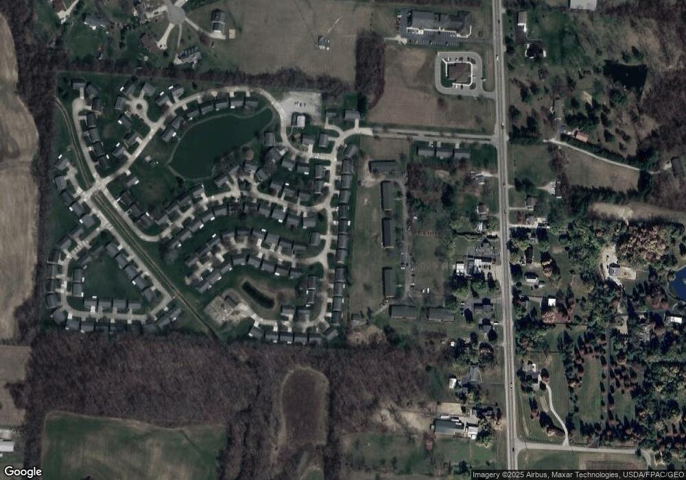
Map
Nearby Homes
- 2137 Manhattan Blvd
- 3305 Turner Dr E
- 3314 Scotsdale Dr
- 2639 Anita Dr
- 3460 Hanson Rd
- 3145 Troy Rd
- 00 Upper Valley Pike
- 917 White Oak Dr
- 925 Upper Valley Pike
- 2743 Ironwood Dr
- 2805 Cottonwood Dr
- 624 Aberfelda Dr
- 4472 Saint Paris Pike
- 4328 Pine Tree Place
- 4211 Grey Stone Crossing
- 190 Oakridge Dr
- 3891 New Carlisle Pike
- 1015 Hillcrest Ave
- 0 Upper Valley Pike
- 1329 Lamar Dr
- 2126 Manhattan Blvd Unit C10
- 2126 Manhattan Blvd Unit 2126
- 2126 Manhattan Blvd Unit C 110
- 2200 Manhattan Blvd
- 2137 Manhattan Blvd
- 2137 Manhattan Blvd Unit C-39
- 2208 Manhattan Blvd
- 2120 Manhattan Blvd Unit C11
- 2120 Manhattan Blvd Unit 2120
- 2120 Manhattan Blvd Unit 529
- 3301 Scotsdale Dr
- 3304 Turner Dr E
- 2214 Manhattan Blvd Unit C6
- 2112 Manhattan Blvd Unit C12
- 2112 Manhattan Blvd
- 2117 Manhattan Blvd
- 3305 Scotsdale Dr Unit C41
- 3310 Turner Dr E Unit C37
- 2219 Manhattan Blvd
- 2230 Manhattan Blvd
Your Personal Tour Guide
Ask me questions while you tour the home.