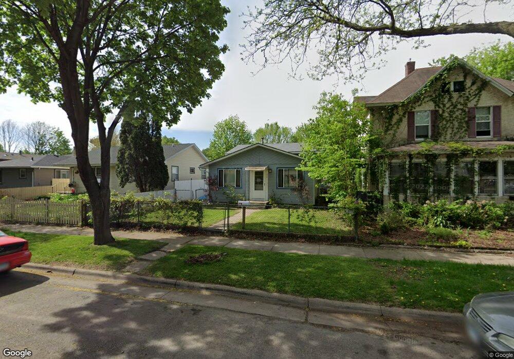
214 Winifred St E Saint Paul, MN 55107
West Side NeighborhoodEstimated Value: $241,452 - $257,000
3
Beds
1
Bath
534
Sq Ft
$464/Sq Ft
Est. Value
About This Home
This home is located at 214 Winifred St E, Saint Paul, MN 55107 and is currently estimated at $247,613, approximately $463 per square foot. 214 Winifred St E is a home located in Ramsey County with nearby schools including Cherokee Heights Elementary School, Humboldt Secondary School, and Quantum STEAM Academy.
Ownership History
Date
Name
Owned For
Owner Type
Purchase Details
Closed on
Jul 25, 2016
Bought by
Scott Isaac Isaac
Current Estimated Value
Purchase Details
Closed on
Nov 30, 2015
Sold by
Cardenas Jose Antonio
Bought by
The Bank Of New York Mellon and The Bank Of New York
Purchase Details
Closed on
Aug 29, 2002
Sold by
Oleson Anita L and Oleson William J
Bought by
Cardenas Jose Antonia
Create a Home Valuation Report for This Property
The Home Valuation Report is an in-depth analysis detailing your home's value as well as a comparison with similar homes in the area
Home Values in the Area
Average Home Value in this Area
Purchase History
| Date | Buyer | Sale Price | Title Company |
|---|---|---|---|
| Scott Isaac Isaac | $99,500 | -- | |
| The Bank Of New York Mellon | $153,549 | Change Of Title Inc | |
| -- | $153,600 | -- | |
| Cardenas Jose Antonia | $139,900 | -- |
Source: Public Records
Tax History
| Year | Tax Paid | Tax Assessment Tax Assessment Total Assessment is a certain percentage of the fair market value that is determined by local assessors to be the total taxable value of land and additions on the property. | Land | Improvement |
|---|---|---|---|---|
| 2025 | $3,192 | $243,700 | $23,200 | $220,500 |
| 2023 | $3,192 | $196,300 | $18,000 | $178,300 |
| 2022 | $2,344 | $192,800 | $18,000 | $174,800 |
| 2021 | $1,740 | $154,400 | $18,000 | $136,400 |
| 2020 | $1,684 | $131,600 | $18,000 | $113,600 |
| 2019 | $1,864 | $121,600 | $18,000 | $103,600 |
| 2018 | $1,556 | $121,900 | $18,000 | $103,900 |
| 2017 | $1,982 | $116,300 | $18,000 | $98,300 |
| 2016 | $4,958 | $0 | $0 | $0 |
| 2015 | $2,518 | $109,700 | $18,000 | $91,700 |
| 2014 | $1,702 | $0 | $0 | $0 |
Source: Public Records
Map
Nearby Homes
- 568 State St Unit C
- 303 Cesar Chavez St
- 277 Morton St E
- 405 Robert St S
- 567 Livingston Ave
- 66 Stevens St E
- 655 Robert St S
- 37 King St E
- 344 Page St E
- 246 Sidney St E
- 755 Robert St S
- 71 Winifred St W
- 84 Isabel St W
- 274 Wyoming St E
- 188 Wyoming St E
- 5 Belvidere St E
- 95 Colorado St W
- 409 Winslow Ave
- 492 Curtice St E
- 181 Annapolis St E
- 210 Winifred St E
- 216 Winifred St E
- 210 210 Winifred St E
- 210 210 Winifred-Street-e
- 222 Winifred St E
- 222 Winifred St E
- 492 Ada St
- 214 214 Winifred St E
- 224 Winifred St E
- 213 Robie St E
- 223 223 Winifred St E
- 226 Winifred St E
- 203 Robie St E
- 219 Robie St E
- 217 217 Winifred St E
- 203 Robie St E
- 209 209 Winifred St E
- 213 Winifred St E
- 223 Robie St E
- 217 Winifred St E
Your Personal Tour Guide
Ask me questions while you tour the home.