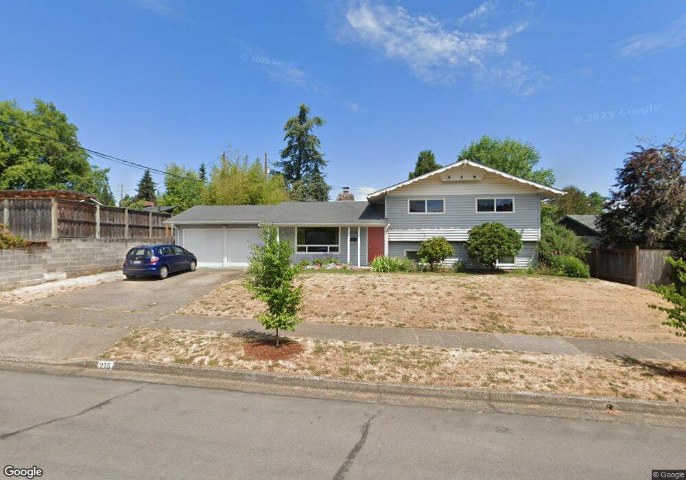
215 E 42nd Ave Eugene, OR 97405
Southeast Eugene NeighborhoodEstimated Value: $490,618 - $541,000
4
Beds
2
Baths
1,656
Sq Ft
$312/Sq Ft
Est. Value
About This Home
This home is located at 215 E 42nd Ave, Eugene, OR 97405 and is currently estimated at $517,155, approximately $312 per square foot. 215 E 42nd Ave is a home located in Lane County with nearby schools including Edgewood Community Elementary School, Spencer Butte Middle School, and South Eugene High School.
Ownership History
Date
Name
Owned For
Owner Type
Purchase Details
Closed on
Dec 29, 2010
Sold by
Aaland Laura and Sipiora Ron
Bought by
Robare Steven P and Robare Lori P
Current Estimated Value
Home Financials for this Owner
Home Financials are based on the most recent Mortgage that was taken out on this home.
Original Mortgage
$205,200
Outstanding Balance
$135,939
Interest Rate
4.35%
Mortgage Type
New Conventional
Estimated Equity
$381,216
Purchase Details
Closed on
Jun 10, 2004
Sold by
Oneal Daniel A and Oneal Sharon L Labere
Bought by
Aaland Scott and Aaland Laura
Purchase Details
Closed on
Aug 27, 2002
Sold by
Elbert Eleanor L
Bought by
Oneal Daniel A and Oneal Sharon L Labere
Home Financials for this Owner
Home Financials are based on the most recent Mortgage that was taken out on this home.
Original Mortgage
$113,160
Interest Rate
3.75%
Create a Home Valuation Report for This Property
The Home Valuation Report is an in-depth analysis detailing your home's value as well as a comparison with similar homes in the area
Home Values in the Area
Average Home Value in this Area
Purchase History
| Date | Buyer | Sale Price | Title Company |
|---|---|---|---|
| Robare Steven P | $228,000 | Fidelity Natl Title Co Of Or | |
| Aaland Scott | $189,000 | Western Pioneer Title Co | |
| Oneal Daniel A | $141,450 | Western Title & Escrow Compa |
Source: Public Records
Mortgage History
| Date | Status | Borrower | Loan Amount |
|---|---|---|---|
| Open | Robare Steven P | $205,200 | |
| Previous Owner | Oneal Daniel A | $113,160 |
Source: Public Records
Tax History
| Year | Tax Paid | Tax Assessment Tax Assessment Total Assessment is a certain percentage of the fair market value that is determined by local assessors to be the total taxable value of land and additions on the property. | Land | Improvement |
|---|---|---|---|---|
| 2025 | $4,765 | $244,559 | -- | -- |
| 2024 | $4,706 | $237,436 | -- | -- |
| 2023 | $4,706 | $230,521 | $0 | $0 |
| 2022 | $4,408 | $223,807 | $0 | $0 |
| 2021 | $4,141 | $217,289 | $0 | $0 |
| 2020 | $4,155 | $210,961 | $0 | $0 |
| 2019 | $4,013 | $204,817 | $0 | $0 |
| 2018 | $3,777 | $193,060 | $0 | $0 |
| 2017 | $3,608 | $193,060 | $0 | $0 |
| 2016 | $3,464 | $187,437 | $0 | $0 |
| 2015 | $3,373 | $181,978 | $0 | $0 |
| 2014 | $3,321 | $176,678 | $0 | $0 |
Source: Public Records
Map
Nearby Homes
- 170 E 40th Ave
- 4023 Donald St Unit K
- 4295 Ferry St
- 17 Westbrook Way
- 21 Westbrook Way
- 36 Westbrook Way
- 434 E 39th Ave
- 4734 Brookwood St
- 275 E 39th Ave
- 4425 Hilyard St
- 0 E 39th Ave
- 4845 Brookwood St
- 278 Rockridge Ct
- 4320 Fox Hollow Rd
- 4364 Fox Hollow Rd
- 910 E 43rd Ave
- 320 Dellwood Dr
- 126 Treehill Loop Unit 126
- 75 W 35th Place
- 4429 Fox Hollow Rd Unit 3
Your Personal Tour Guide
Ask me questions while you tour the home.