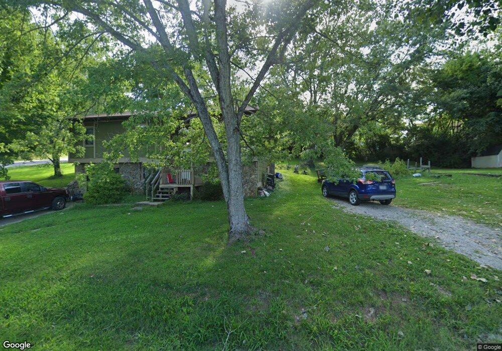
215 N Harms St West Plains, MO 65775
Estimated Value: $143,000 - $194,000
5
Beds
2
Baths
1,092
Sq Ft
$155/Sq Ft
Est. Value
About This Home
This home is located at 215 N Harms St, West Plains, MO 65775 and is currently estimated at $169,015, approximately $154 per square foot. 215 N Harms St is a home located in Howell County with nearby schools including West Plains Senior High School and Faith Assembly Christian School.
Ownership History
Date
Name
Owned For
Owner Type
Purchase Details
Closed on
Jan 26, 2021
Sold by
Cobb Kayla L
Bought by
Cobb Aaron Jesse
Current Estimated Value
Purchase Details
Closed on
Mar 9, 2011
Sold by
Moran Travis D and Moran Jessica M
Bought by
Cobb Aaron Jesse
Home Financials for this Owner
Home Financials are based on the most recent Mortgage that was taken out on this home.
Original Mortgage
$54,721
Outstanding Balance
$37,581
Interest Rate
4.78%
Mortgage Type
Future Advance Clause Open End Mortgage
Estimated Equity
$131,434
Create a Home Valuation Report for This Property
The Home Valuation Report is an in-depth analysis detailing your home's value as well as a comparison with similar homes in the area
Home Values in the Area
Average Home Value in this Area
Purchase History
| Date | Buyer | Sale Price | Title Company |
|---|---|---|---|
| Cobb Aaron Jesse | -- | None Available | |
| Cobb Aaron Jesse | -- | None Available |
Source: Public Records
Mortgage History
| Date | Status | Borrower | Loan Amount |
|---|---|---|---|
| Open | Cobb Aaron Jesse | $54,721 |
Source: Public Records
Tax History Compared to Growth
Tax History
| Year | Tax Paid | Tax Assessment Tax Assessment Total Assessment is a certain percentage of the fair market value that is determined by local assessors to be the total taxable value of land and additions on the property. | Land | Improvement |
|---|---|---|---|---|
| 2025 | $607 | $14,640 | $1,890 | $12,750 |
| 2024 | $603 | $13,080 | -- | -- |
| 2023 | $603 | $13,080 | $0 | $0 |
| 2022 | $571 | $12,400 | $0 | $0 |
| 2021 | $542 | $12,400 | $0 | $0 |
| 2020 | $542 | $11,490 | $0 | $0 |
| 2019 | $563 | $11,490 | $0 | $0 |
| 2018 | $531 | $10,840 | $0 | $0 |
| 2017 | $529 | $10,840 | $0 | $0 |
| 2015 | -- | $10,500 | $0 | $0 |
| 2014 | -- | $10,500 | $0 | $0 |
| 2013 | -- | $10,500 | $0 | $0 |
Source: Public Records
Map
Nearby Homes
- 210 Pine St
- 105 N Harms St
- 217-223 S Utah Ave
- 000 N Highway 63
- 999 Preacher Roe Blvd
- Lot 2 Webster Ave
- Lot 1 Webster Ave
- 413 Halstead St
- 1211 W Main St
- 217 S Harlin Dr
- 413 Halstead St
- 115 N Harlin Dr
- 520 Texas St
- 601 Texas St
- 1409 W 3rd St
- 1028 Armstrong St
- 1903 Catalina Dr
- 224 Crawford St
- 1449 4th St
- 824 N Utah St