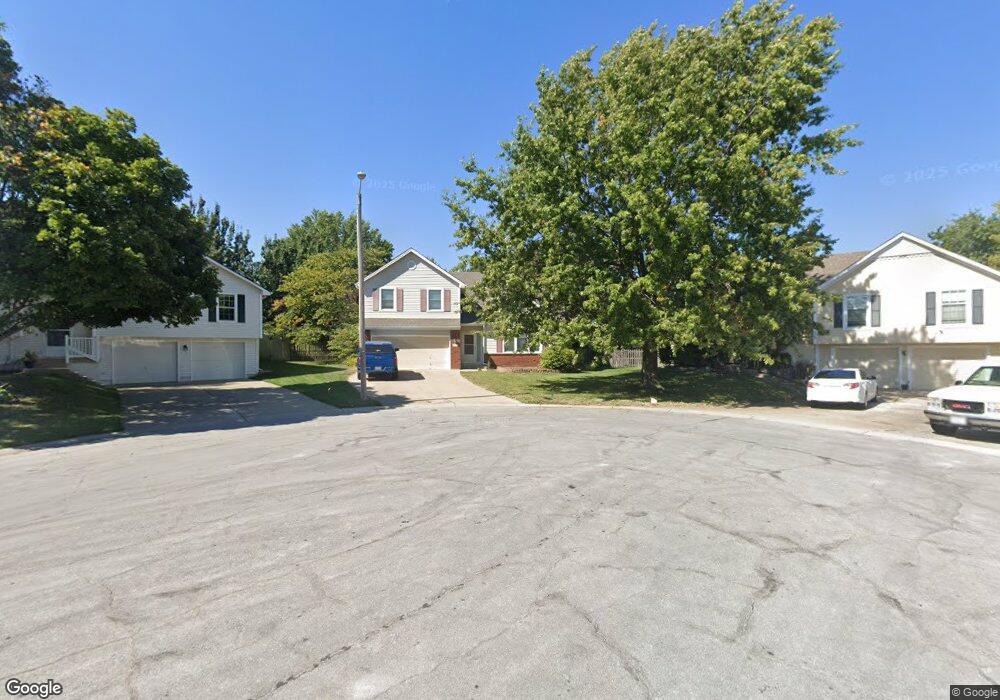
216 NE Nightshade Ct Lees Summit, MO 64086
Estimated Value: $337,367 - $372,000
3
Beds
2
Baths
1,626
Sq Ft
$218/Sq Ft
Est. Value
About This Home
This home is located at 216 NE Nightshade Ct, Lees Summit, MO 64086 and is currently estimated at $354,842, approximately $218 per square foot. 216 NE Nightshade Ct is a home located in Jackson County with nearby schools including Meadow Lane Elementary School, Bernard C. Campbell Middle School, and Lee's Summit North High School.
Ownership History
Date
Name
Owned For
Owner Type
Purchase Details
Closed on
Aug 6, 1998
Sold by
Kerns Dwight D and Kerns Donna L
Bought by
Kerns Dwight D and Kerns Donna L
Current Estimated Value
Purchase Details
Closed on
May 12, 1998
Sold by
Powell Patrick B and Powell Michelle R
Bought by
Kerns Dwight D and Kerns Donna L
Home Financials for this Owner
Home Financials are based on the most recent Mortgage that was taken out on this home.
Original Mortgage
$62,900
Interest Rate
6.8%
Mortgage Type
Purchase Money Mortgage
Purchase Details
Closed on
Oct 26, 1995
Sold by
Superior Homes Inc
Bought by
Powell Patrick B and Powell Michelle R
Home Financials for this Owner
Home Financials are based on the most recent Mortgage that was taken out on this home.
Original Mortgage
$88,800
Interest Rate
7.58%
Mortgage Type
Purchase Money Mortgage
Create a Home Valuation Report for This Property
The Home Valuation Report is an in-depth analysis detailing your home's value as well as a comparison with similar homes in the area
Home Values in the Area
Average Home Value in this Area
Purchase History
| Date | Buyer | Sale Price | Title Company |
|---|---|---|---|
| Kerns Dwight D | -- | -- | |
| Kerns Dwight D | -- | -- | |
| Powell Patrick B | -- | -- |
Source: Public Records
Mortgage History
| Date | Status | Borrower | Loan Amount |
|---|---|---|---|
| Closed | Kerns Dwight D | $62,900 | |
| Previous Owner | Powell Patrick B | $88,800 |
Source: Public Records
Tax History Compared to Growth
Tax History
| Year | Tax Paid | Tax Assessment Tax Assessment Total Assessment is a certain percentage of the fair market value that is determined by local assessors to be the total taxable value of land and additions on the property. | Land | Improvement |
|---|---|---|---|---|
| 2025 | $3,226 | $51,385 | $8,717 | $42,668 |
| 2024 | $3,226 | $44,684 | $8,328 | $36,356 |
| 2023 | $3,203 | $44,684 | $6,519 | $38,165 |
| 2022 | $3,236 | $40,090 | $5,242 | $34,848 |
| 2021 | $3,303 | $40,090 | $5,242 | $34,848 |
| 2020 | $3,178 | $38,190 | $5,242 | $32,948 |
| 2019 | $3,091 | $38,190 | $5,242 | $32,948 |
| 2018 | $988,055 | $33,237 | $4,562 | $28,675 |
| 2017 | $2,899 | $33,237 | $4,562 | $28,675 |
| 2016 | $2,871 | $32,585 | $5,339 | $27,246 |
| 2014 | $2,989 | $33,254 | $4,659 | $28,595 |
Source: Public Records
Map
Nearby Homes
- 1319 NE Depot Dr
- 1204 NE Beacon Ave
- 1307 NE Florence Ave
- 1236 NE Florence Ave
- 1300 NE Browning Ln
- 717 NE Mulberry St
- 718 NE Mulberry St
- 653 NE Reed Crossing
- 800 NE Mulberry St
- 809 NE Mulberry St
- 808 NE Mulberry St
- 1708 NE Balboa St
- 732 NE Deerbrook St
- 812 NE Swann Rd
- 1121 NE Ridgeview Dr
- 1104 NE Ridgeview Dr
- 807 NE Balboa St
- 705 NE Chipman Rd
- 1637 NE Westwind Dr
- 2301 NW Lees Summit Rd
- 220 NE Nightshade Ct
- 212 NE Nightshade Ct
- 224 NE Nightshade Ct
- 208 NE Nightshade Ct
- 228 NE Nightshade Ct
- 232 NE Nightshade Ct
- 204 NE Nightshade Ave
- 200 NE Nightshade Ave
- 221 NE Nightshade Ave
- 236 NE Nightshade Ave
- 213 NE Nightshade Ave
- 205 NE Nightshade Ave
- 233 NE Nightshade Ave
- 128 NE Nightshade Ave
- 201 NE Nightshade Ave
- 240 NE Nightshade Ave
- 129 NE Nightshade Ave
- 237 NE Nightshade Ave
- 124 NE Nightshade Ave
- 244 NE Nightshade Ave