21615 Midland Dr Shawnee, KS 66218
Estimated Value: $441,000 - $512,000
3
Beds
3
Baths
1,881
Sq Ft
$254/Sq Ft
Est. Value
About This Home
This home is located at 21615 Midland Dr, Shawnee, KS 66218 and is currently estimated at $477,747, approximately $253 per square foot. 21615 Midland Dr is a home located in Johnson County with nearby schools including Horizon Elementary School, Mill Creek Middle School, and Mill Valley High School.
Ownership History
Date
Name
Owned For
Owner Type
Purchase Details
Closed on
Sep 13, 2019
Sold by
Isaacson Charles E and Isaacson Kathleen J
Bought by
Isaacson Charles E and Isaacson Kathleen J
Current Estimated Value
Home Financials for this Owner
Home Financials are based on the most recent Mortgage that was taken out on this home.
Original Mortgage
$265,450
Outstanding Balance
$232,034
Interest Rate
3.5%
Estimated Equity
$245,713
Purchase Details
Closed on
Jan 10, 2019
Sold by
Isaacson Charles E and Isaacson Kathleen Joan
Bought by
Isaacson Charles E and Isaacson Kathleen J
Create a Home Valuation Report for This Property
The Home Valuation Report is an in-depth analysis detailing your home's value as well as a comparison with similar homes in the area
Home Values in the Area
Average Home Value in this Area
Purchase History
| Date | Buyer | Sale Price | Title Company |
|---|---|---|---|
| Isaacson Charles E | -- | None Available | |
| Isaacson Charles E | -- | Fidelity National Title | |
| Isaacson Charles E | -- | None Available |
Source: Public Records
Mortgage History
| Date | Status | Borrower | Loan Amount |
|---|---|---|---|
| Open | Isaacson Charles E | $265,450 |
Source: Public Records
Tax History Compared to Growth
Tax History
| Year | Tax Paid | Tax Assessment Tax Assessment Total Assessment is a certain percentage of the fair market value that is determined by local assessors to be the total taxable value of land and additions on the property. | Land | Improvement |
|---|---|---|---|---|
| 2024 | $5,593 | $47,035 | $14,536 | $32,499 |
| 2023 | $5,378 | $44,666 | $12,357 | $32,309 |
| 2022 | $4,664 | $37,824 | $10,302 | $27,522 |
| 2021 | $4,998 | $39,020 | $10,049 | $28,971 |
| 2020 | $4,522 | $34,868 | $10,049 | $24,819 |
| 2019 | $4,395 | $33,362 | $10,049 | $23,313 |
| 2018 | $4,224 | $31,752 | $10,049 | $21,703 |
| 2017 | $4,282 | $31,430 | $10,049 | $21,381 |
| 2016 | $4,077 | $29,532 | $10,049 | $19,483 |
| 2015 | $3,946 | $28,118 | $10,049 | $18,069 |
| 2013 | -- | $33,293 | $15,364 | $17,929 |
Source: Public Records
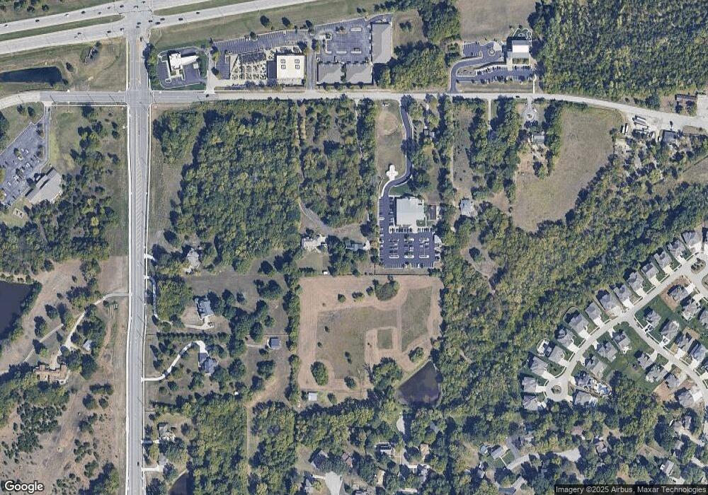
Map
Nearby Homes
- 7939 Noble St
- 7943 Noble St
- 21227 W 70th St
- 6764 Longview Rd
- 6753 Longview Rd
- 6744 Longview Rd
- 6805 Millbrook St
- 20805 W 68th Terrace
- 6417 Chouteau St
- 21910 W 73rd Terrace
- 6410 Old Woodland Dr
- 21617 W 61st St
- 31.24 Acres of Woodland Dr
- 58.14 acres Woodland Dr
- 46.13 Acres of Woodland Dr
- 6246 Woodland Dr
- 6046 Redbud St
- 22602 W 72nd Terrace
- 21712 W 60th Terrace
- 22500 W 75th St
- 21645 Midland Dr
- 21435 Midland Dr
- 21503 Midland Dr
- 6805 Monticello Rd
- 6755 Monticello Rd
- 21415 Midland Dr
- 21644 Midland Dr
- 6875 Monticello Rd
- 6901 Millridge St
- 21706 W 70th St
- 21709 W 70th St
- 6903 Millridge St
- 6842 Brownridge Dr
- 6838 Brownridge Dr
- 6834 Brownridge Dr
- 21620 Midland Dr
- 6830 Brownridge Dr
- 6834 Brownridge Dr
- 6908 Millridge St
- 6846 Brownridge Dr