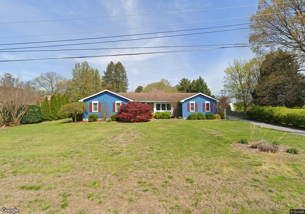
217 Highview Ave Dover, DE 19901
Kent Acres NeighborhoodEstimated Value: $397,174 - $437,000
4
Beds
3
Baths
2,481
Sq Ft
$170/Sq Ft
Est. Value
About This Home
This home is located at 217 Highview Ave, Dover, DE 19901 and is currently estimated at $422,544, approximately $170 per square foot. 217 Highview Ave is a home located in Kent County with nearby schools including W. Reily Brown Elementary School, Fred Fifer Middle School, and Caesar Rodney High School.
Ownership History
Date
Name
Owned For
Owner Type
Purchase Details
Closed on
Dec 19, 2008
Sold by
Orth P William and Orth Kim B
Bought by
Cormier Debra A
Current Estimated Value
Home Financials for this Owner
Home Financials are based on the most recent Mortgage that was taken out on this home.
Original Mortgage
$273,516
Outstanding Balance
$180,283
Interest Rate
6.08%
Mortgage Type
FHA
Estimated Equity
$242,261
Create a Home Valuation Report for This Property
The Home Valuation Report is an in-depth analysis detailing your home's value as well as a comparison with similar homes in the area
Home Values in the Area
Average Home Value in this Area
Purchase History
| Date | Buyer | Sale Price | Title Company |
|---|---|---|---|
| Cormier Debra A | $275,000 | None Available |
Source: Public Records
Mortgage History
| Date | Status | Borrower | Loan Amount |
|---|---|---|---|
| Open | Cormier Debra A | $273,516 |
Source: Public Records
Tax History
| Year | Tax Paid | Tax Assessment Tax Assessment Total Assessment is a certain percentage of the fair market value that is determined by local assessors to be the total taxable value of land and additions on the property. | Land | Improvement |
|---|---|---|---|---|
| 2025 | $1,799 | $352,100 | $83,400 | $268,700 |
| 2024 | $1,768 | $352,100 | $83,400 | $268,700 |
| 2023 | $1,804 | $57,000 | $10,500 | $46,500 |
| 2022 | $1,710 | $57,000 | $10,500 | $46,500 |
| 2021 | $1,689 | $57,000 | $10,500 | $46,500 |
| 2020 | $1,650 | $57,000 | $10,500 | $46,500 |
| 2019 | $1,597 | $57,000 | $10,500 | $46,500 |
| 2018 | $1,551 | $57,000 | $10,500 | $46,500 |
| 2017 | $1,516 | $57,000 | $0 | $0 |
| 2016 | $1,433 | $57,000 | $0 | $0 |
| 2015 | $1,241 | $57,000 | $0 | $0 |
| 2014 | $1,239 | $57,000 | $0 | $0 |
Source: Public Records
Map
Nearby Homes
- 137 McBry Dr
- 265 Beechwood Ave
- 97 Glenda Rd
- 1679 S State St Unit A55
- 200 Beechwood Ave Unit 30
- 238 S Governors Blvd
- 127 Roosevelt Ave
- 1 Edgewood Rd
- 1694 S State St
- 185 N Governors Blvd
- 89 Cooper Rd
- 168 N Governors Blvd
- 1895 Windswept Cir
- 137 President Dr
- 89 S Shore Dr
- 100 S Shore Dr
- 6 Crossley Dr
- 234 Pine St
- 1810 Windswept Cir
- 131 Jillian Ct
- 3 McBry Dr
- 596 Kentland Ave
- 25 McBry Dr
- 582 Kentland Ave
- 606 Kentland Ave
- 224 Highview Ave
- 211 Highview Ave
- 41 McBry Dr
- 24 McBry Dr
- 618 Kentland Ave
- 220 Highview Ave
- 564 Kentland Ave
- 369 Beechwood Ave
- 601 Kentland Ave
- 202 Highview Ave
- 12 Porcher St
- 632 Kentland Ave
- 187 Highview Ave
- 363 Beechwood Ave
- 40 McBry Dr
Your Personal Tour Guide
Ask me questions while you tour the home.